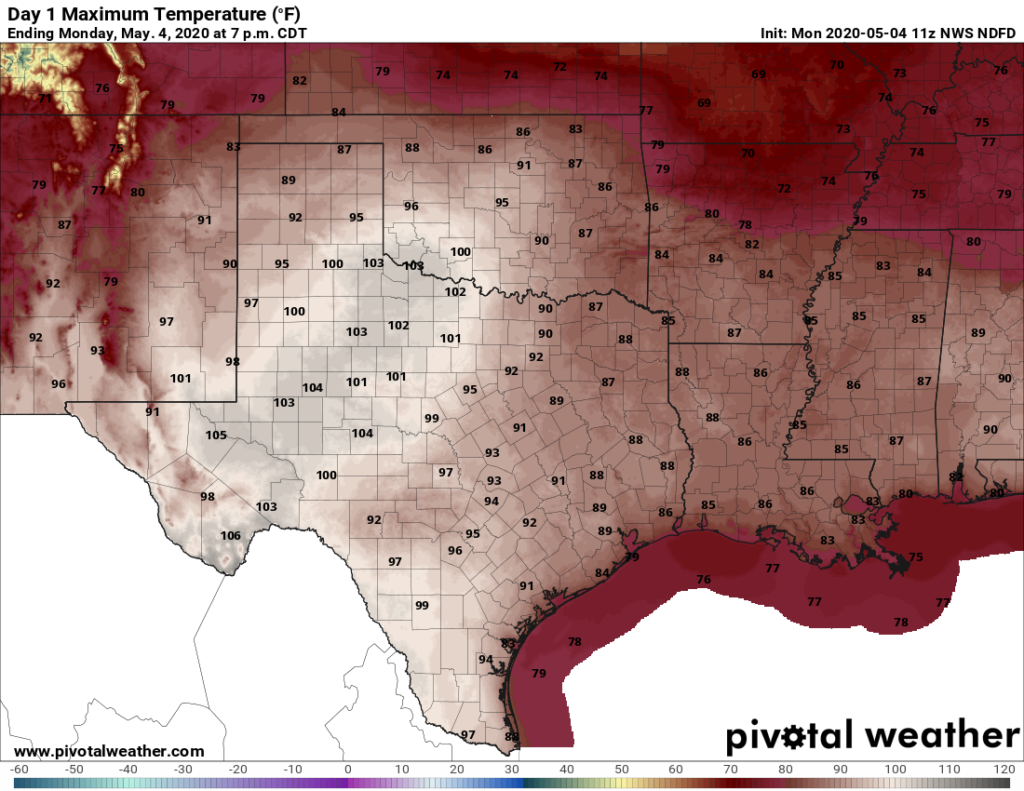
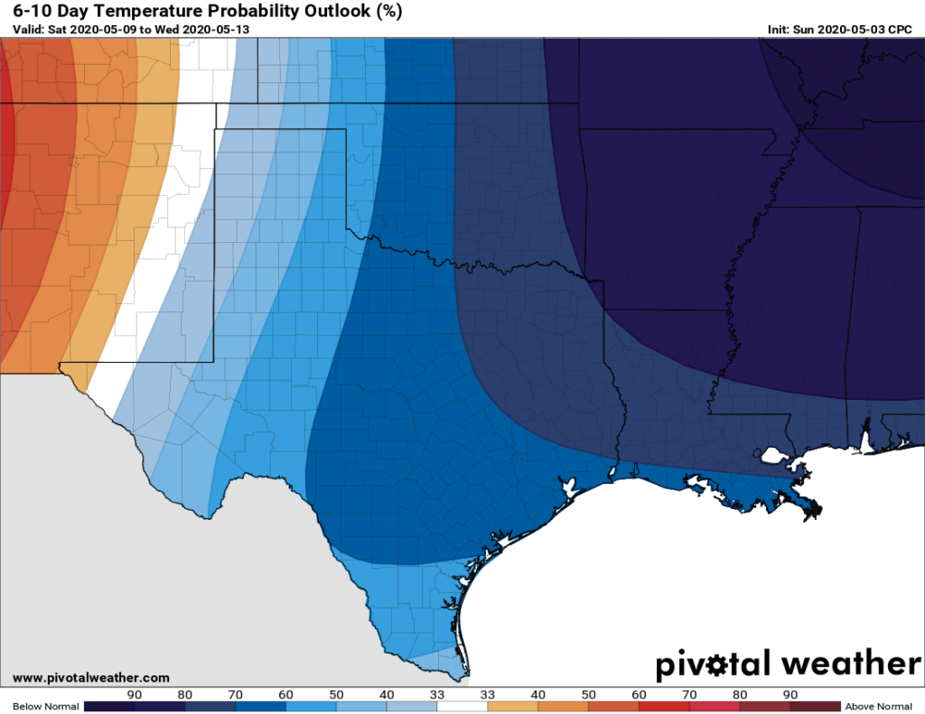
Good morning. Houston will see a couple of chances for showers this week, but for the most part we should see partly to mostly sunny weather. And I don’t want us to get too far ahead of ourselves, but it sure looks like this weekend could see some really nice weather for May. Some areas may see sunshine with highs in the upper 70s, if you can believe that.
Monday
Temperatures have fallen to around 70 degrees for most of Houston this morning, and we’ll see a mix of sunshine and clouds this morning before likely full sunshine this afternoon. Highs today will rise to about 90 for most of the area, although they won’t quite reach that mark along the coast. Winds will be light, generally out of the south. Overnight lows will again likely remain at or above 70 for most of the area, with sinking air under the influence of high pressure.

Tuesday
This will be another hot day, with highs around 90 degrees, and partly sunny skies. An approaching cold front will mix things up, however, by late afternoon or evening. The front should reach northern areas of the region (such as College Station) a few hours before sunset and then push off the coast by Wednesday morning. I would like to be able to say with confidence what will happen rain-wise Tuesday evening and during the overnight hours, but a number of scenarios are open to us. The front could push through with only very light, scattered showers, or at some point during the boundary’s passage thunderstorms could break out dropping a quick 1 or 2 inches of rain on a few areas.
Wednesday
A nice day in the wake of Tuesday night’s front. The air will be drier, and highs limited to the mid-80s with clearing skies. Lows Wednesday night will drop back into the mid-60s, with even cooler temperatures further inland.
Thursday and Friday
These should be a pair of partly to mostly sunny days, with highs somewhere in the mid- to upper-80s. A fairly strong cold front looks set to arrive during the overnight hours on Friday, and again the big question is how much rainfall it might produce. At this point the models seem a little more bullish on coastal rainfall than for inland areas, but overall confidence is low. The front should bring in a pretty decent shot of cooler and drier air for May.

Saturday and Sunday
Saturday should see a mix of clouds and sunshine in the wake of the front, with highs in the upper 70s to around 80 degrees. Saturday night will probably be the coldest of the week, with lows potentially in the 50s for most areas except for the coast—we’ll have to watch this for you this week. Sunday looks like it could be spectacular, with sunshine and highs in the upper 70s. This would be a rare treat for May if indeed it comes to pass.

Pretty good forecast for beginning of May. Can you give us some insight about how badly Brazoria County is doing on rain? We live down here, and we are about as dry as I’ve ever seen it – cracks in the ground and all.
Brazoria County really needs the rain. Did they build a wall along I-10 to keep the rain to the north/east??? I
A lot of us are thinking that same thing! I didn’t have to water my lawn all last summer, and already it is gasping.
Oh just wait, the gulf will start acting up and y’all will get all the rain you can handle.
score one for the moms if Sunday is in the 70’s!
Here’s hoping there will be no “capping perversions” to interfere with (still) much needed rain associated with those cold fronts.
Houston has four seasons:
Almost Summer
Summer
Still Summer
Christmas
Nice to see that Almost Summer isn’t quite over yet.
Very happy to hear that summer is delayed for just a wee bit longer.
Wow! A “REAL” cold front in early May is very welcome, just like a “REAL” one in early September!