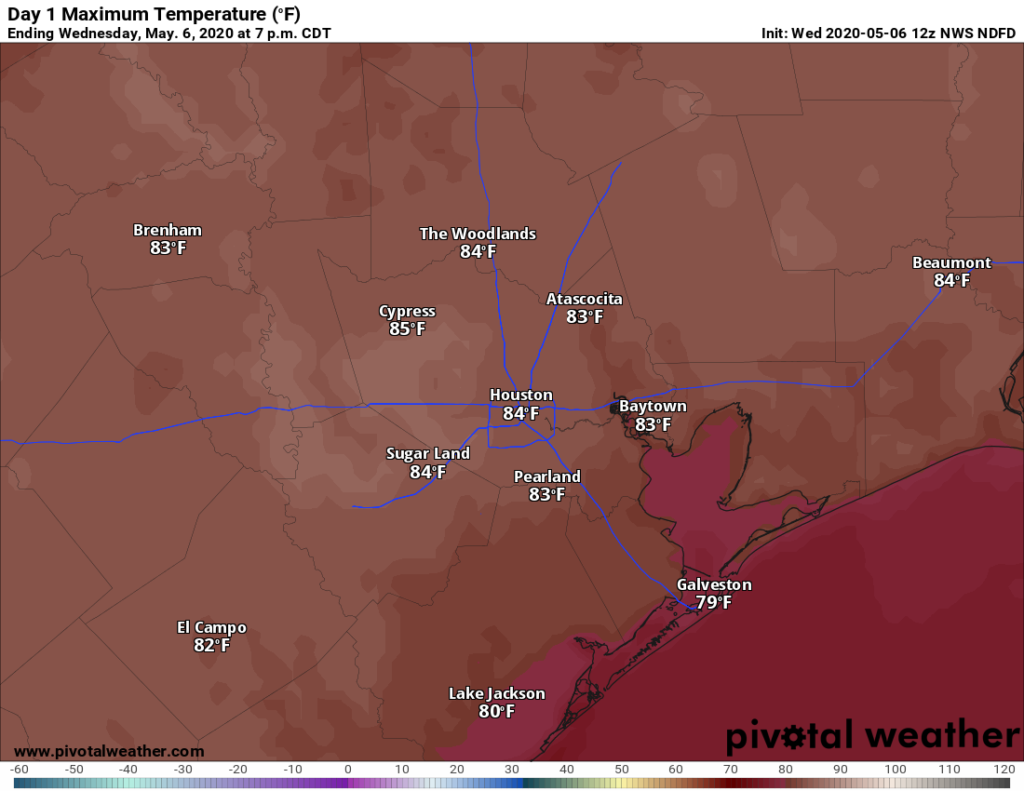
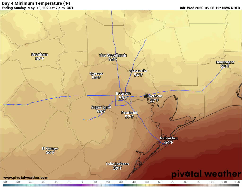
Houston experienced a round of storms during the evening hours, and then again after midnight as a cool front swept through the area. Now those storms are moving offshore. We will have a couple days of drier air before we do the possible-storms-thing again with a stronger front this weekend. The weather for Mother’s Day itself looks sublime.
Wednesday
Winds have shifted to come from the north or northeast, with drier air filtering in behind. This should allow for skies to clear this afternoon, setting the stage for a pleasant day with highs in the low- to mid-80s. As the Sun sinks toward the horizon later today, temperatures should follow with it downward. Lows will drop to around 60 degrees in the city of Houston—warmer along the coast and cooler inland. Skies will remain clear.

Thursday
As high pressure moves east on Thursday, the onshore winds will return. But this won’t happen right away, so we can expect another pleasant day. Look for highs in the low- to mid-80s even as winds swing to come around from the southeast. A few clouds may develop Thursday night, but the real effect of the onshore flow will be felt in temperatures. They should hold at about 10 degrees warmer than Wednesday night.
Friday
The first half of Friday should be warm, and muggy, with temperatures in the 80s. But a fairly strong May cold front will on the way, and bringing an increasing chance of showers and thunderstorms with it. The front likely will reach Houston some time during the middle of the day or afternoon, and eventually work its way off the coast Friday night. As for showers, the best chances look to be near the coast, and we may see a few stronger thunderstorms. Rain accumulations don’t look overly impressive—probably less than one-half inch for most—but give us a day or so to fine-tune totals.
Saturday
Some slight rain chances will linger into Saturday, and while we may see some sunshine, I expect clouds for much of the area at least until late afternoon or early evening. Highs probably will remain confined to the low- or mid-70s, definitely a rather cool day for May. Saturday night’s lows will be impressive for May, dropping well into the 50s for most areas except the coast.

Mother’s Day
Can you beat dry air, a high of around 80 degrees and light winds for Mother’s Day? I would suggest that in May, you could not.
Next week
For now it looks like we will see a gradual warm-up next week, with highs climbing into the mid- to possibly upper 80s by Wednesday or so. At that point the forecast becomes a bit more difficult to nail down, with a chance of rain returning and likely more cloudy days on the horizon.

Eric…I’m having a problem with YOU calling every little COOL front…A STORM!!
The local TV weather guru’s use the word STORM in every description of every little blip on the radar screen….not so!
I’m just waiting for “freakie Freddie” on Ch. 2 to say “we will have a FOG storm in the Morning”
Geo.
And they will probably send their mobile units out onto multiple FREEWAYS to show the fog. And tell people to stay home from work (oh, wait…. we are already working from home). But rest assured, they are keeping your family safe (I thought we were supposed to do that….)
There were storms. Storm has a particular meaning. And just because you didn’t get anything doesn’t mean others didn’t. Most people who have a problem with this have no idea what goes into being a meteorologist.
Eric-
Please don’t waste any time on this guy. We have your back.
Well, I don’t know where you two live, but the “little cool fronts” of this morning certainly qualified for STORMS as they passed over Tiki Island and Galveston with huge bolts of lightning, heavy rain, and house-shaking thunder! Eric, thanks as always for your accurate and informative forecasts.
We got nada. It looked like an intense line of storms that stayed south of I-10.
Yeah, we got a healthy dose of rain over on the southeast side. I saw the system developing over Jacinto City and Galena Park when I looked at the radar around 6:00 PM. It then expanded to my part of town (northwestern Deer Park) and basically sat there for two hours. I forget exactly when, but at one point, radar showed a line of storms ahead of the front that stretched from NW of Corpus Cristi all the way over to St. Landry Parish in Louisiana. That storm sat on us for the better part of two hours before it got shoved offshore. That was the most rain I’ve seen over here in quite some time.
Did not notice any rains here, a lot of wind and dark clouds, but not any noticeable rainfall.
Hi Eric – we love your coverage of our weather. It is invaluable; thank you.
Any thoughts on how Friday’s Fight to the Finish Fly Over might be impacted by the oncoming front? They are scheduled to fly all over Houston from 11:45a to 1:15p, departing and returning to Ellington. Details are at www dot lonestarflight dot org.