It was a really nice Thursday in Southeast Texas, but a few hundred miles to our northwest, it was downright summer-like. Amarillo hit the mid-80s, but Kansas stole the show. Garden City, KS hit 89 degrees, Russell hit 88 degrees, and Dodge City hit 87 degrees, all of which likely set new records for warmest February day on record.

For us, it’s going to continue warming up, but we will avoid the plague of obscene heat for awhile yet.
TODAY
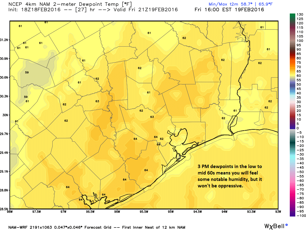
After some low clouds in parts of the region this morning, we will clear out and enjoy a mostly nice afternoon. Sunshine will help warm us to around 80° or into the low-80s in spots. Dewpoints will hit the low or mid 60s this afternoon, which means you’ll notice the humidity but it won’t feel too oppressive.

WEEKEND
Saturday looks a lot like today, with AM low clouds or some fog giving way to sunshine by midday. Clouds may linger a little longer Saturday, so temperatures could actually be a degree or two cooler than today (upper-70s to around 80° for a high). Sunday will start similarly, but the clouds may not break much. Rain chances aren’t exactly high on Sunday, but they aren’t quite zero either; a very isolated shower is possible.
EARLY NEXT WEEK
No big changes since yesterday in this time frame. The front we’re expecting will drag its feet as it moves through the area. I wish it had a little more oomph to it, but we continue to hone in on about a half inch of rain on average for the area from this system, with scattered showers and thunderstorms Monday, possibly lingering into Tuesday. Remember, a half inch is an average for the area, so some will likely see less than than that, but I do think a few areas, mainly north of I-10 and east of I-45 could see up to 1-2″ of rain from this too. That would be appreciated.
And if the weather’s a little too warm, too soon for you, we should see some 40s for nighttime lows by midweek next week behind the front.