In brief: Although we are unlikely to see a system as organized as the storms on Tuesday, we’ll continue to see daily shower and thunderstorms chances this week as Houston’s overall pattern remains unsettled. On the plus side, this weather should help to keep high temperatures in the upper 80s into the weekend.
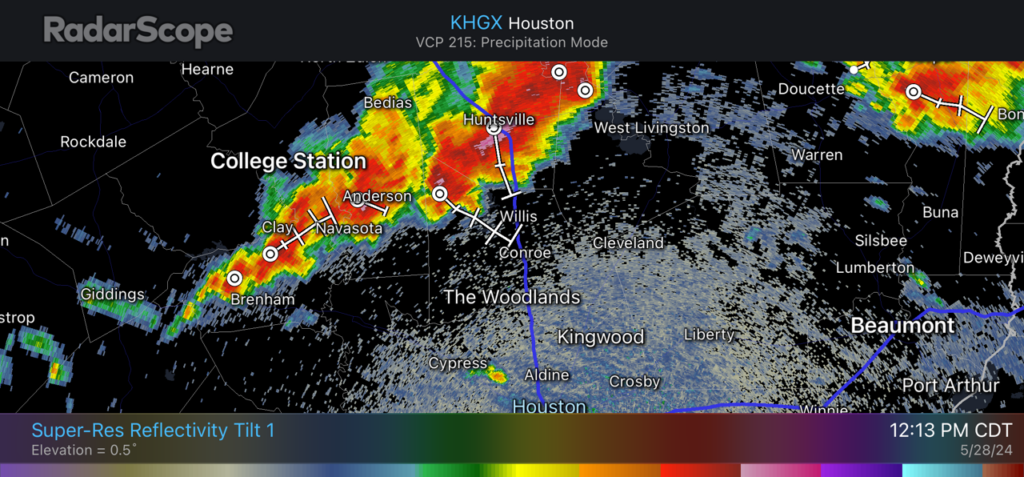
Tuesday’s storms brought numerous reports of hail, some of which was as large as ping pong balls, as a system raced across Houston from north to south. Intense, albeit short-lived rainfall also flooded some Houston streets during the afternoon hours. And then there were the winds, with the highest gust observed at Bush Intercontinental Airport, 75 mph. (See more values here). According to CenterPoint, they’ve managed to restore power to a majority of the approximately 300,000 customers who lost power, but 37,000 remain without electricity this morning.
We will continue to monitor storm chances this week closely, and will update Space City Weather when warranted.
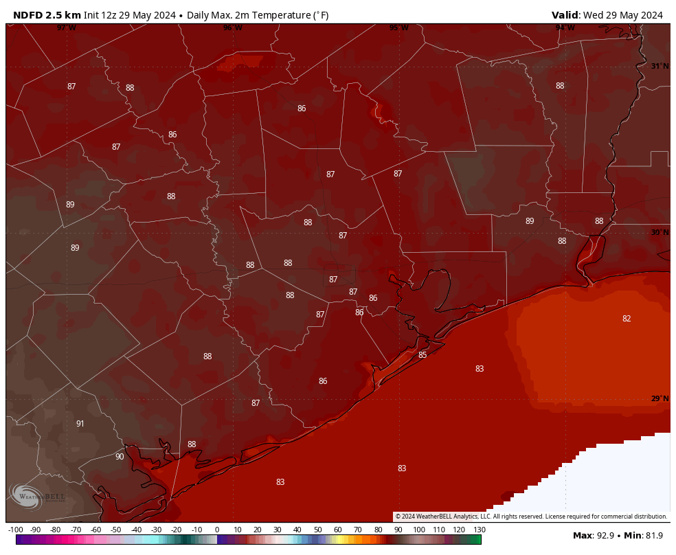
Wednesday
With a fair amount of moisture in the atmosphere, and the absence of high pressure, we’ll see conditions somewhat favorable for the development of scattered showers and thunderstorms later this afternoon at the peak of daytime heating. The most likely time for such storms will be from about 3 pm to 9 pm this afternoon, and a few of these cells could produce some hail or damaging winds. But for most areas the impact should be less than this. Otherwise, we’ll see mostly cloudy skies, with light easterly winds. Low temperatures tonight will drop into the upper 70s.
Thursday
With a similar atmospheric setup, I expect Thursday to be similar to Wednesday with development of showers and thunderstorms during the afternoon and evening hours. Again, this activity looks to be fairly scattered, but we’ll be watching closely for potential changes to this forecast. Highs should be in the upper 80s again for most of the area.
Friday
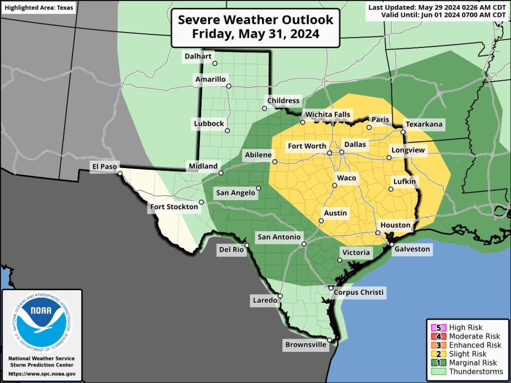
Overall chances for strong thunderstorms may be a little higher on Friday, both in terms of wind and hail, but also the threat of heavy rainfall. However, the details are fuzzy, so for now the best we can say is that Friday may be messy. Look for highs in the upper 80s.
Saturday and Sunday
The weekend should bring with it partly sunny skies and highs in the upper 80s to about 90 degrees for most of Houston. We’ll continue to see passing disturbances that may bring a chance of showers and thunderstorms. But ultimately, whether that happens during the daytime or the overnight hours is difficult to say. If you have outdoor plans this weekend I’d have some hope that they’ll come off, but also a backup plan. Hopefully we’ll have more confidence in a weekend forecast, with timing details, in a day or two.
Next week
Daily storm chances diminish next week, as we see more sunshine. Rain chances may not go away entirely, but they should be lower, perhaps on the order of 10 to 20 percent daily. As a result daily highs will start climbing, first into the low 90s early next week, to possibly mid-90s by the end of the week. We shall see.
Note
Please check back at 10 am this morning for the release of our monthly Q&A. Hope you like this one!