In brief: After widespread showers and thunderstorms on Monday, clearer skies and calmer weather will prevail on Tuesday and Wednesday. However we’ll return to a wetter pattern on Thursday that will bring another chance of heavy rain, especially to areas north of Houston. The weekend looks sunny and hot, with summer on the near horizon.
Tuesday
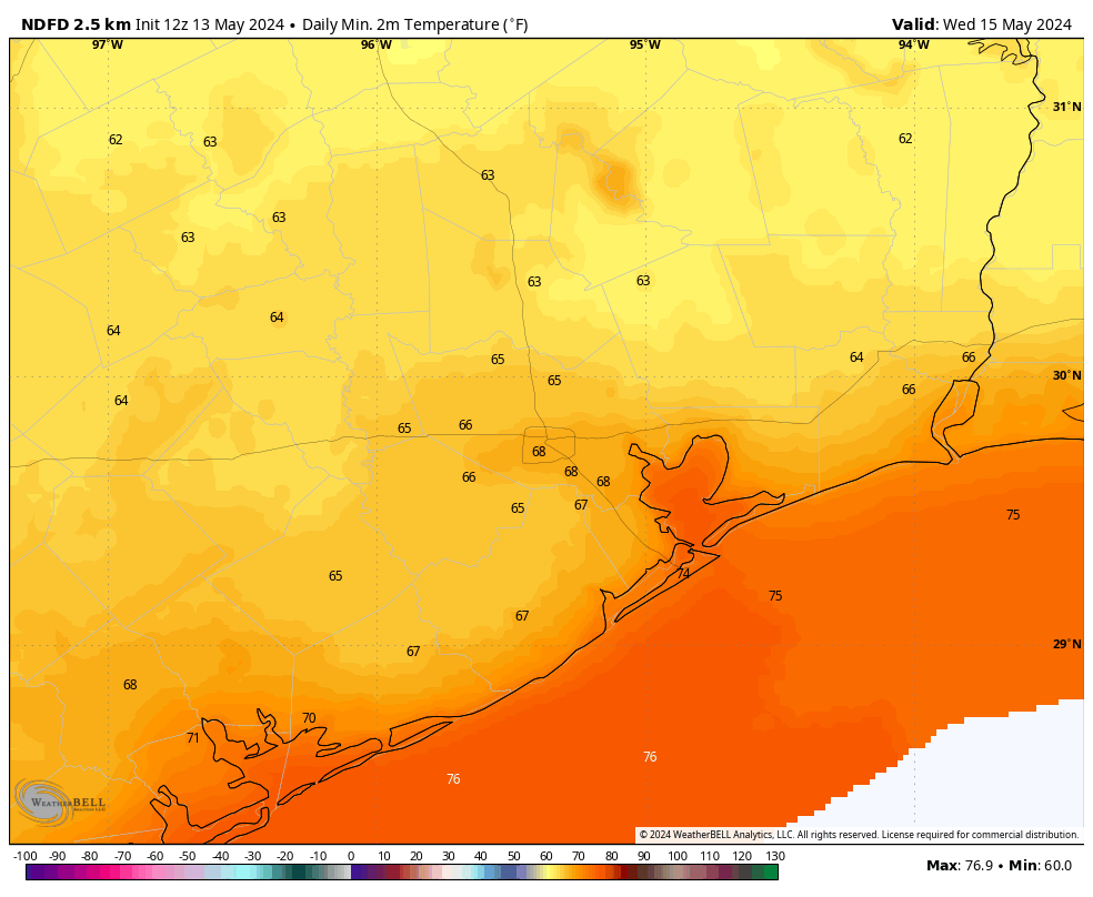
After a weak front pushed into Houston on Monday night, we’re seeing slightly drier air and pleasantly cooler temperatures this morning. Lows have fallen into the mid-60s for much of the region. With clear skies and somewhat lower humidity, highs today will push into the upper 80s to 90 degrees across the region, with the warmer temperatures coming further inland. Winds will be light, from the northwest. Lows should again drop into the 60s tonight for all but coastal areas.
Wednesday
This will be another sunny day with highs near 90 degrees. Winds will shift to come from the southeast later in the day, a harbinger of more moisture to come. Still, humidity levels will be low-ish during the daytime before a more humid evening. Expect lows in the low 70s.
Thursday
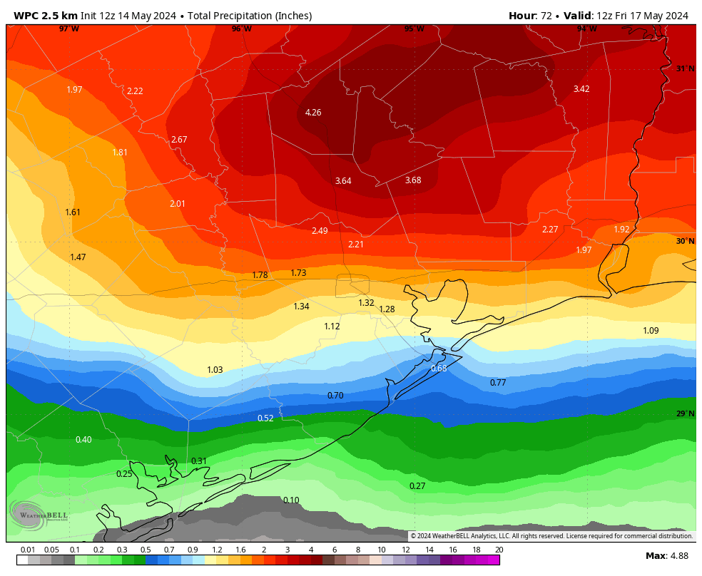
As atmospheric moisture levels increase, we’ll see a series a disturbances pass overhead on Thursday and Thursday night. There is not a particularly strong signal for severe weather such as wind or hail. However, there is the possibility of heavy rainfall. I’m not fully convinced this forecast will verify, but much of the Houston area could see an additional 1 to 3 inches of rainfall. My concern is for areas north of Houston, which have already been battered by heavy rainfall this month. Areas such as Huntsville and Lake Livingston could see bullseyes of 4 or more inches of rainfall. Widespread clouds and rains should limit highs in the 80s.
Friday
Rain chances will persist into Friday morning, but things should taper off at some point during the late morning or early afternoon. Expect partly sunny skies later in the day, with highs in the upper 80s.
Saturday and Sunday
The weekend looks mostly sunny and warm, with temperatures in the range of 90 to 93 degrees for most locations. Nights will drop into the low 70s. Plan your outdoor activities with confidence.
Next week
Most of next week looks partly to mostly sunny and warm, with highs in the low 90s. Rain chances look fairly low. As we get into the back half of May we’re staring squarely into the face of summer, my friends.