Good morning. Houston faces a couple of more chilly nights before we warm up briefly heading into the weekend. Unfortunately I still do not have too much confidence in the forecast for Saturday, which will see the passage of a robust cold front at some point, and harbors the potential for some storms. After the front’s passage we’ll be much colder on Sunday, and for pretty much all of the next work week. Also, at the end of today’s post, I’ll have a few words to wrap up the 2023 Atlantic hurricane season.

Tuesday
We’re starting off chilly this morning, with lows generally in the 40s for most of Houston. Winds are generally light, and will remain so even as a reinforcing flow of cooler and drier air moves in today. It should be a pleasant day, with highs near 70 degrees and partly to mostly sunny skies. Low temperatures tonight will again drop into the upper-40s for most of the Houston area, with cooler conditions inland, and a bit warmer conditions near the coast.
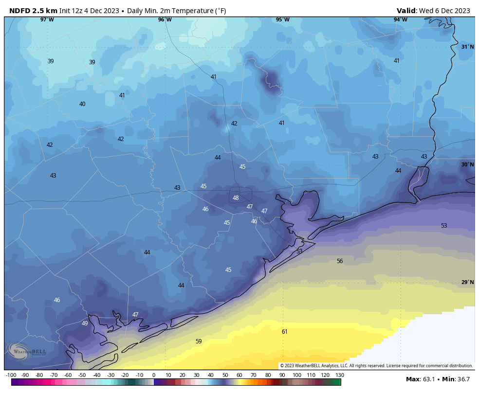
Wednesday
A sunny day, with temperatures a bit lower in the mid-60s due to the influx of cooler air. Winds will gradually shift from the north to the east, heralding the beginning of an onshore flow. This will eventually lead to warmer and more humid weather, but lows on Wednesday night should still drop into the upper 40s for most.
Thursday
Skies will turn partly cloudy as atmospheric moisture levels rise. Winds will also be more noticeable, coming from the south at about 10 mph, but with higher gusts, perhaps up to 20 mph. Look for highs around 70 degrees, with lows only dropping to around 60 overnight.
Friday
This will be the warmest day for awhile, with highs ticking up into the mid- to upper-70s, with a mix of sunshine and clouds. With dewpoints in the 60s, it will feel a bit sticky outside, but nothing too crazy. Lows on Friday night will only drop into the mid- to upper-60s.
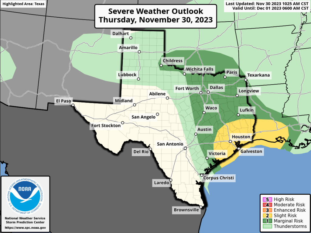
Saturday
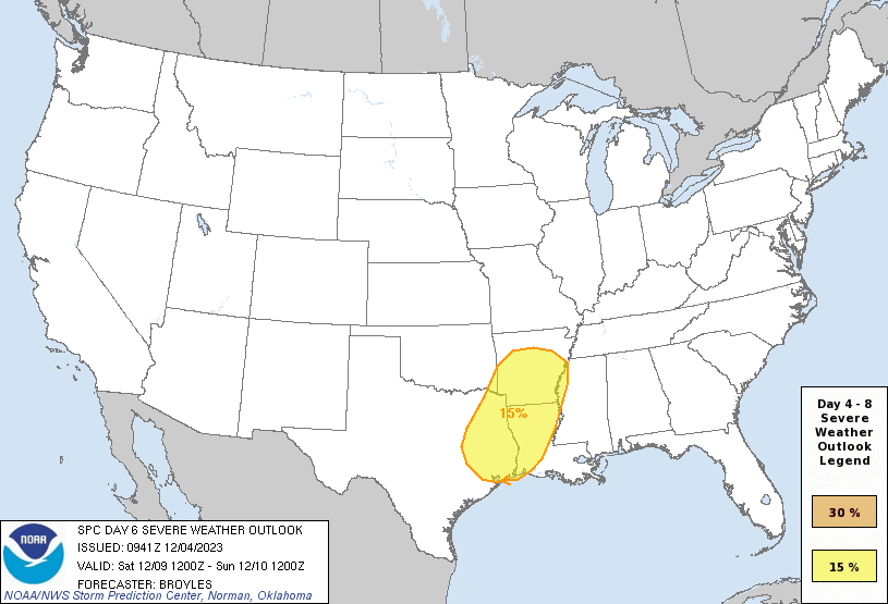
The forecast for Saturday remains in flux. What we know is that a cold front, probably with an attendant line of showers and thunderstorms, will move through. But that’s where the certainty ends. First question is when on Saturday. A passage earlier in the day, by or before noon, would mean less daytime heating for the front to work with as it pushes through. So this means less rain, and potential for severe storms. A later front, during the afternoon hours, means an increased potential for more rain and stronger storms.
Until there’s some clarity on the timing, I’m afraid there’s going to be a lot of uncertainty about temperatures, rainfall, and winds on Saturday, particularly during the middle of the day. (In terms of rainfall amounts, I would not be too concerned. Due to storm movements most areas will probably receive less than 1 inch). However, after the front moves through we can be confident that rain showers will end fairly quickly, skies will clear, and northerly winds will blow, gusting to perhaps 30 mph or higher. Saturday night, after the front’s passage, will be cold, with lows dropping into the 40s.
Sunday and beyond
Sunday will be sunny, clear and cold. It’s possible that high temperatures do not even reach 60 degrees. Northerly winds will continue, although they should slacken some during the daytime and evening hours. Lows on Sunday night will again drop into the 40s, and possibly even colder area-wide away from the immediate coast.
Most of next week should remain fairly winter-like, with highs in the 60s and lows generally in the 40s. Some rain chances will return during the middle of the week, but my confidence in likelihood and amounts is fairly low. At this point I don’t believe we’re looking at a substantial warm-up heading into next weekend, so viva la fría!
Atlantic hurricane season
We told you back in late September that, effectively, hurricane season was over for Texas. And indeed it was. But now the 2023 season is over for the rest of the Atlantic basin as well. Over on our companion website, The Eyewall, Matt has written a synopsis of what happened this year. It turned out to be an active season, as Matt concludes: “Suffice to say, 2023 will go down as one of the most active El Niño hurricane seasons ever recorded. That’s a little concerning given that an El Niño of this magnitude is usually enough to mitigate things. That only partially happened this year, in part due to the extreme warmth in the Atlantic.”

I want to thank everyone who read and shared The Eyewall with others this season. We’ll continue with occasional posts during the offseason, about extreme weather affecting the United States, before resuming full-time coverage for the 2024 Atlantic hurricane season.