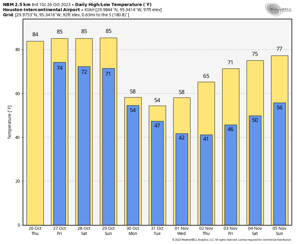
Good morning. It’s chilly outside, with temperatures generally in the 40s across the region. Today will see the return of some sunshine this afternoon, but a persistently northerly breeze will keep a chill in the air. Kids will want at least a light jacket while trick-or-treating. We’re still headed toward the coldest night of the week on Wednesday into Thursday morning, when lows could drop into the 30s for inland areas. Then we’ll warm back up for awhile.
Tuesday
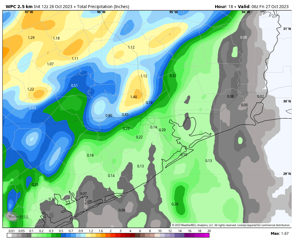
The last of the light rain showers will sweep out of Houston this morning, but clouds will probably linger until noon, or a bit after. As a result, temperatures will be slow to warm, before finally pushing up to around 60 degrees late this afternoon. The emerging sunshine will help. But with a breezy day, and gusts up to 20 mph, it’s still going to feel chilly. Temperatures will drop pretty quickly into the low- to mid-50s after the sun sets, with lows dropping to around 40 degrees in Houston overnight.
Wednesday
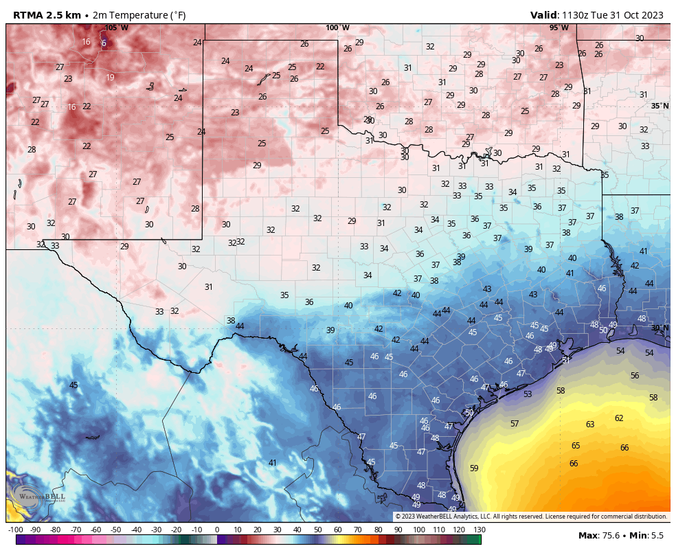
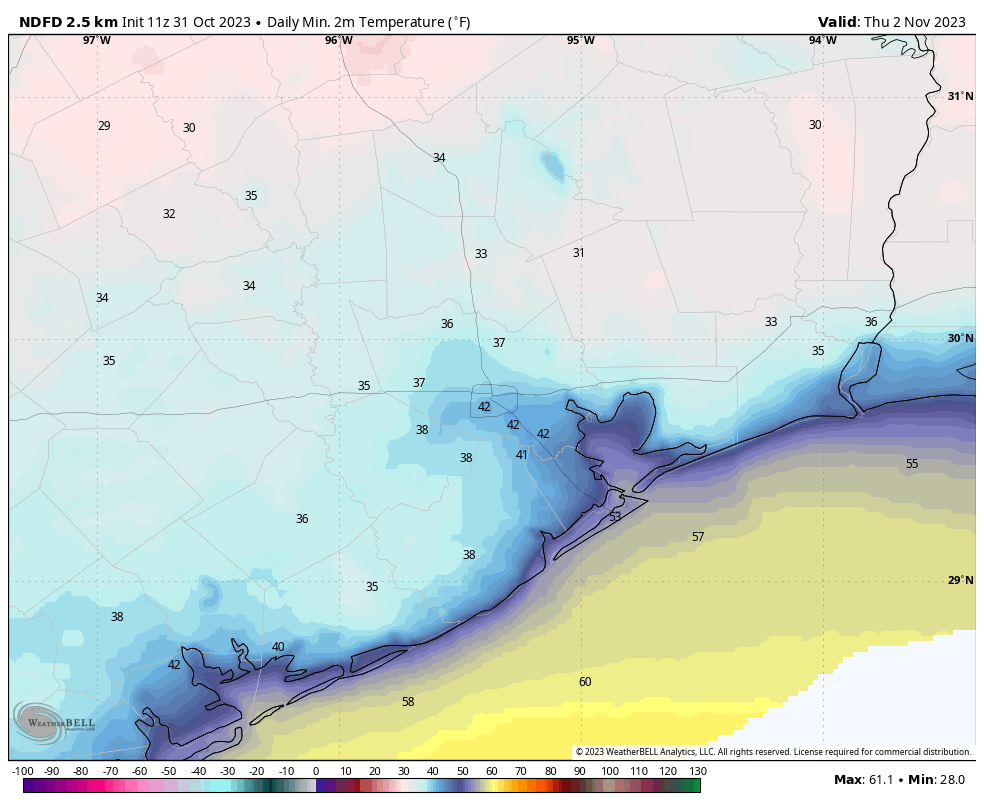
This will be a sunny day, with a high temperature of about 60 degrees. However, winds from the north will be lighter, so it likely won’t feel as chilly outside. As winds slacken even further on Wednesday night, we’ll see ideal cooling conditions to go along with the very dry air, so temperatures could be a degree or two cooler than Tuesday night. A light freeze is possible for far inland areas.
Thursday
The lessening winds will continue to shift from the north to northeast to east as high pressure moves away. As a result we’ll see high temperatures climb into the upper 60s on Thursday, to go along with sunny skies. Lows Thursday night will be appreciably warmer, only dropping into the low 50s.
Friday, Saturday, and Sunday
The warming trend continues into the weekend, with continued mostly sunny skies, and low to non-existent rain chances. Look for highs in the mid-70s on Friday, around 80 degrees on Saturday, and likely the low 80s on Sunday. Lows will drop into the 50s on Friday morning, but we’re likely to stay around 60 degrees or a bit warmer by the weekend. Some humidity returns, but it does not look oppressive.
Next week
The early part of next week looks fairly warm, with highs in the mid-80s. After this, the pattern may favor the passage of a fairly weak front in the Tuesday or Wednesday time frame, but I don’t have too much confidence in this outcome yet. Some readers have understandably asked about rainfall, as we’ve been fairly dry. Unfortunately, I don’t see particularly great chances for meaningful rainfall for at least the next 10 days.