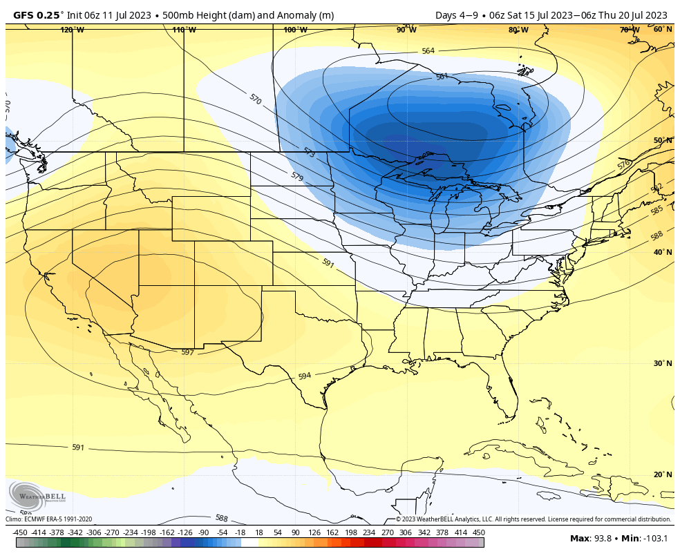
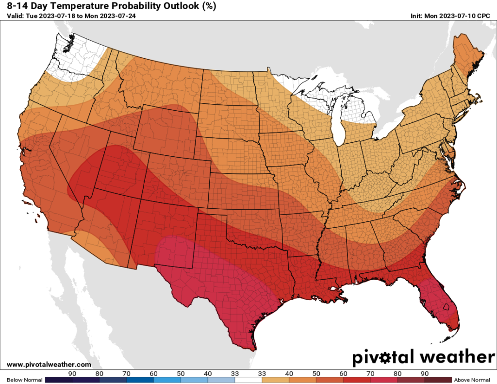
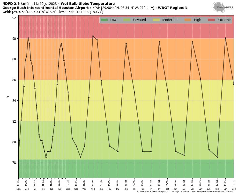
Good morning. Our overall pattern remains more or less the same, with high pressure leading to very hot weather for the next week, and quite possibly beyond. Today and Thursday could bring the worst of the weather, with very high dewpoints contributing to the heat.
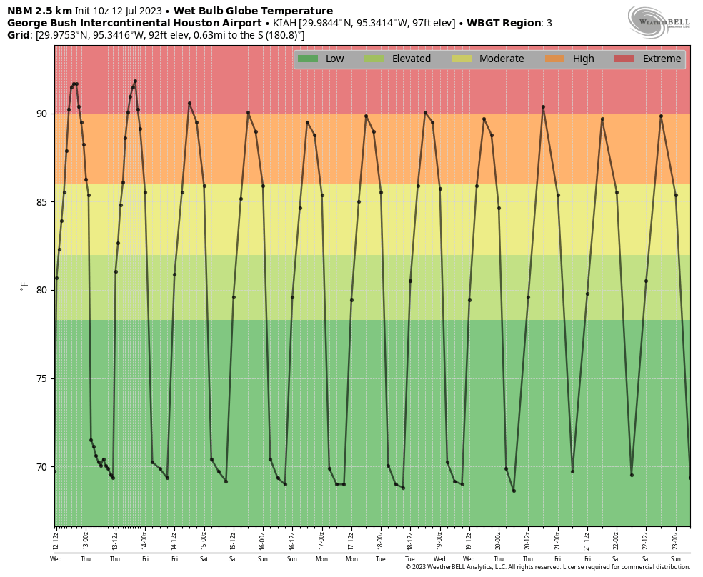
We see this in the forecast for “wet bulb globe temperatures,” which factor in several variables to provide an overall guidance for how uncomfortable conditions will be. (I discussed these a bit more in depth on Monday) Temperatures for today and Thursday are forecast to be above 90 degrees, which means our weather will be extremely uncomfortable.

Wednesday
There is not much to say beyond the fact that temperatures will reach about 100 degrees, with sunny skies and stifling humidity, and modest southwest winds at about 10 mph. Lows tonight will drop to around 80 degrees.
Thursday
Conditions will be much the same, although southerly winds may be a little higher, at 10 to 15 mph.
Friday
With the influx of slightly drier air and winds gusting up to 20 mph, conditions might be slightly more tolerable outside. But temperatures will still be really hot, about 100 degrees for much of the region away from the coast.
Saturday and Sunday
Yes, the weekend looks sunny and hot.
Next week
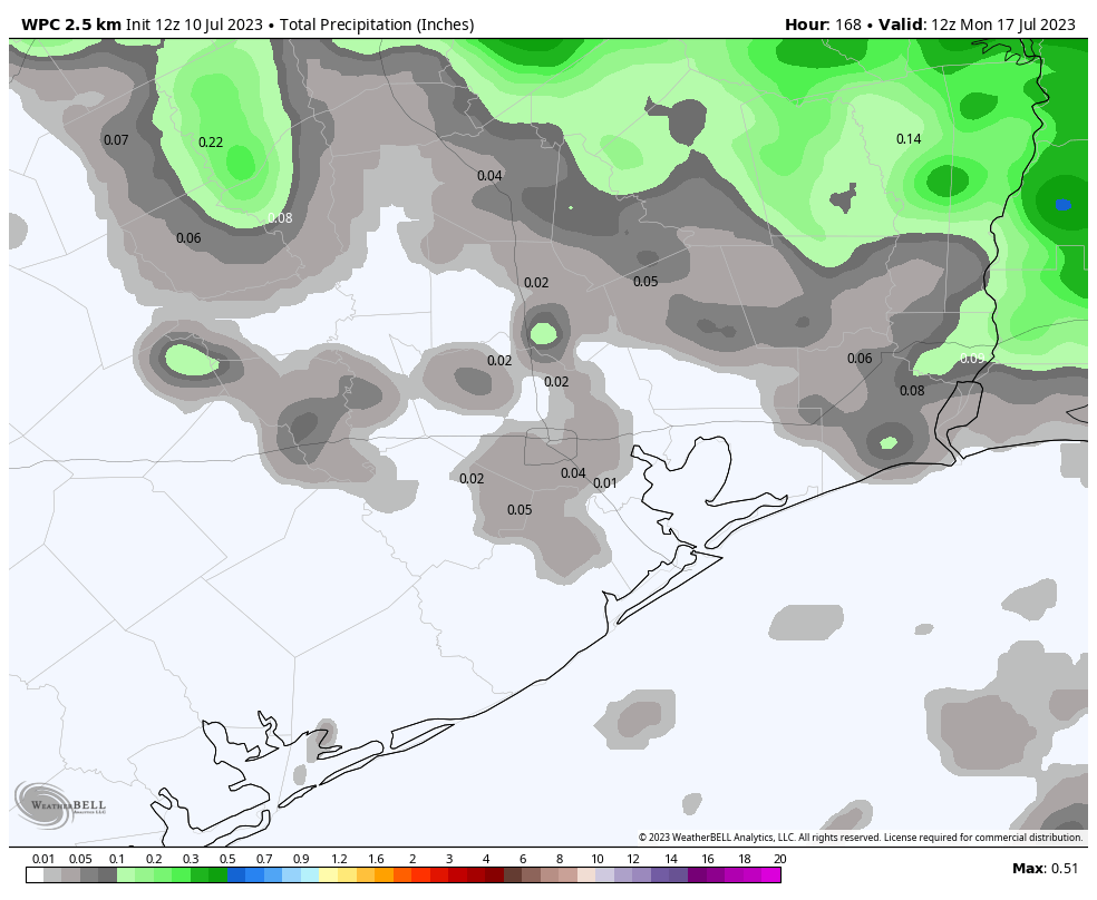
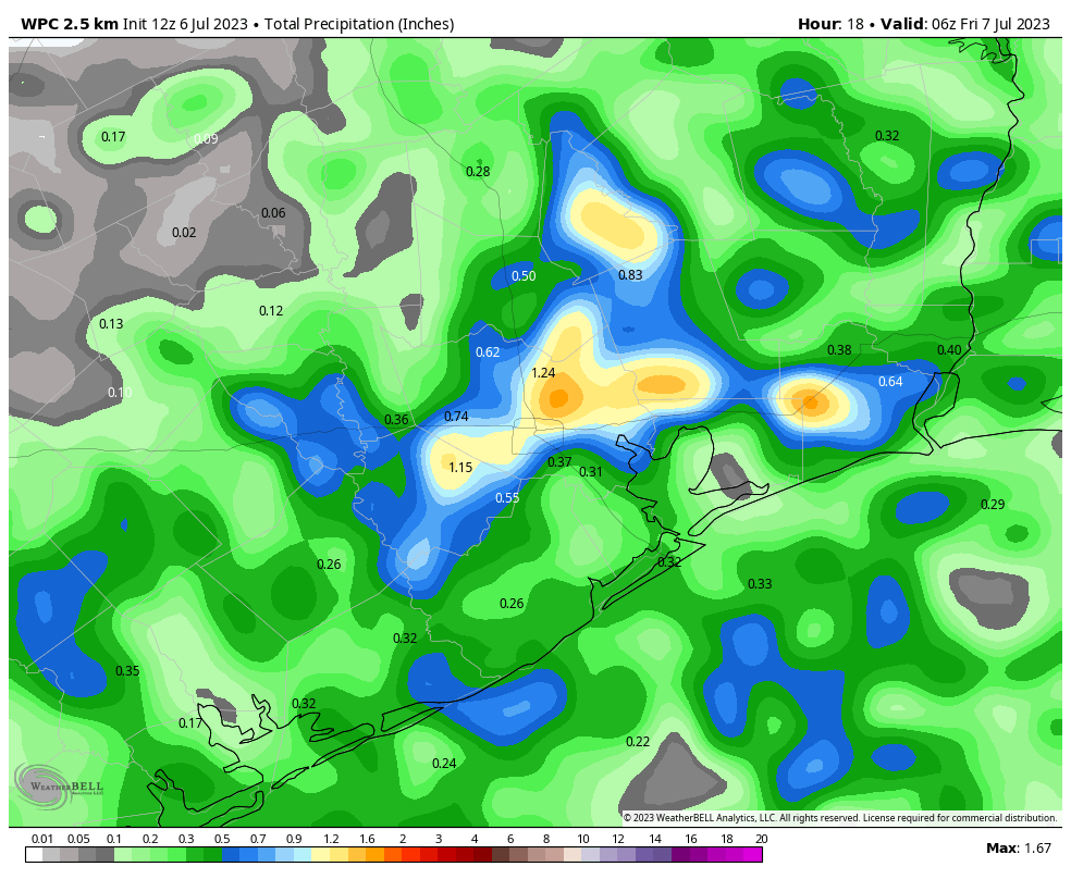
A series of atmospheric disturbances will push through the area later on Sunday and on Monday; and were we not under the influence of high pressure, these are the kinds of systems that would bring us a healthy chance of rain. However, due to generally sinking air over the region, I’d rate the chance of these disturbances at producing rain at about 10 percent. Still, it’s something to watch, as most of the rest of the forecast just looks to be unendingly hot, humid, and rain free.