In brief: A warm and muggy air mass will dominate our region into the weekend before a front drops down from the northwest and sweeps it into the Gulf. Some inland areas may see lows in the upper 30s early next week, but a freeze is unlikely.
Overview
Houston’s weather will be dominated by a persistent onshore flow in the coming days that will bring mild, warm, and humid southerly air into the region. Despite the increasing moisture levels, lift of this warm air at the surface will be mostly suppressed, which will in turn limit our region’s rain chances. While we may see some light, misty showers in the coming days, I don’t think we are going to see much (if anything) in the way of accumulations. We will see a chance for late night and early morning fog, however, as dewpoints match temperatures and overnight winds settle down.
Wednesday
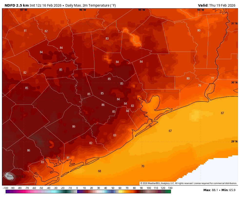
Highs today will reach around 80 degrees in Houston, with slightly cooler conditions closer to the coast. Afternoon wind gusts will reach about 20 mph, and with dewpoints in the 60s it will feel fairly humid outside. Overnight low temperatures will fall only into the 60s tonight.
Thursday and Friday
These two days will be similar in Houston, with highs in the lower 80s for the most part. Our daytime temperatures will depend on afternoon cloud cover. Each of these days will also have a low chance of light or misty showers, although again I would not anticipate anything in the way of accumulations. Fog chances will continue through Friday night.
Saturday
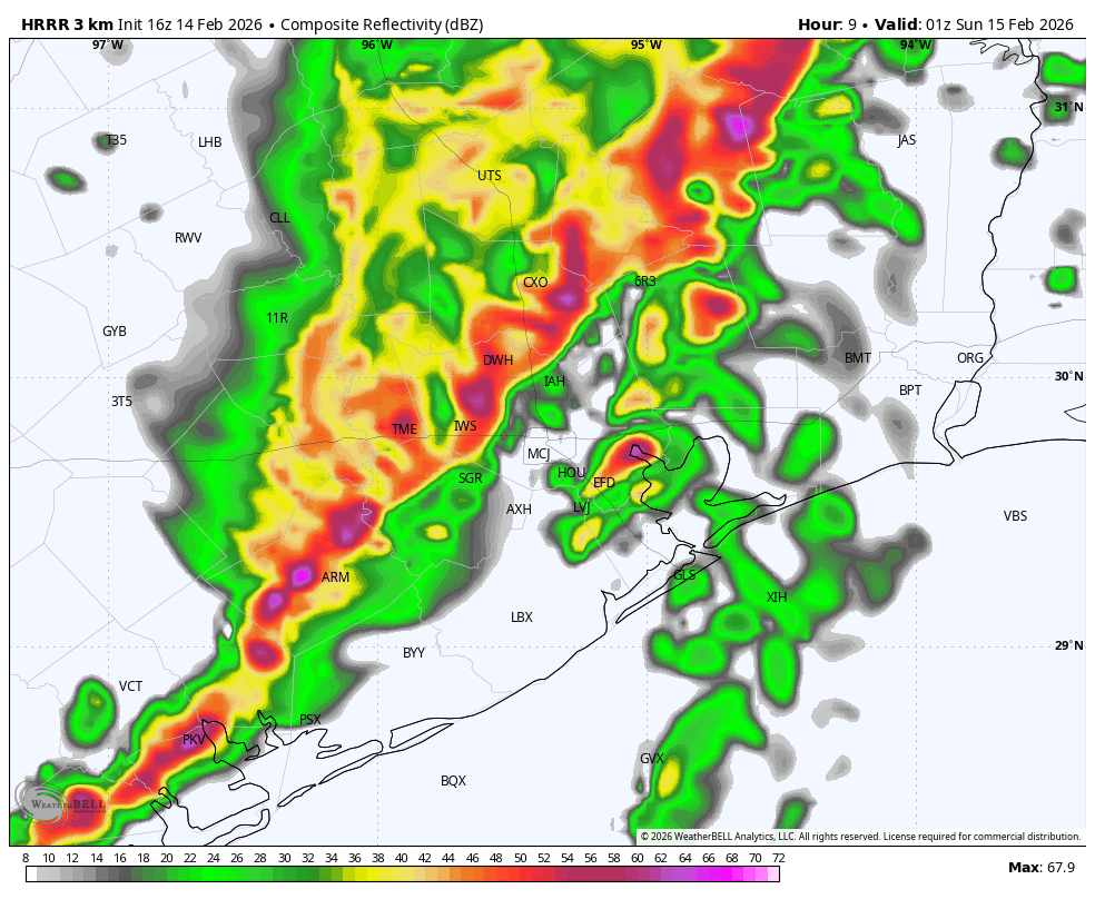
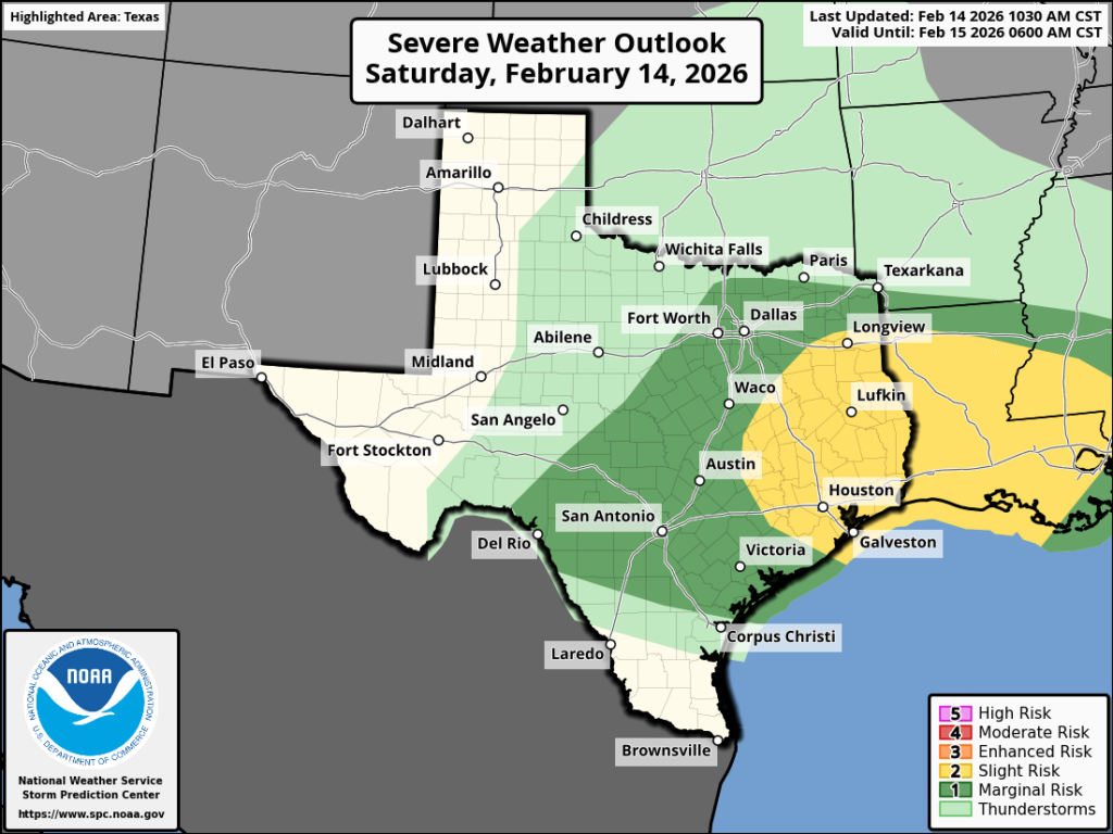
We should see more humid, partly cloudy, and warm weather with highs testing the 80 degree mark again. In terms of timing I still think the cold front will push through some time during the afternoon or early evening hours, with dewpoints quickly falling after its passage. Some light showers will be possible with the front, but again accumulations look very slight. By sunrise on Sunday morning we can expect lows probably in the upper 40s for all but coastal areas, which will be a shade warmer.
Sunday
The second half of the weekend will be sunny, with highs in the low- to mid-60s for Houston. The day will be breezy, with winds from the north at 10 to 15 mph and higher gusts bringing in a much drier air mass. By Sunday night we’ll see lows dropping probably into the lower 40s in Houston, with the possibility of some upper 30s for inland areas.
Next week
Monday night will be cold again, before we see temperatures begin to moderate some next week. By Wednesday or Thursday we should return to temperatures in the vicinity of 80 degrees. Skies look to be mostly sunny next week, with not much in the way of precipitation chances.