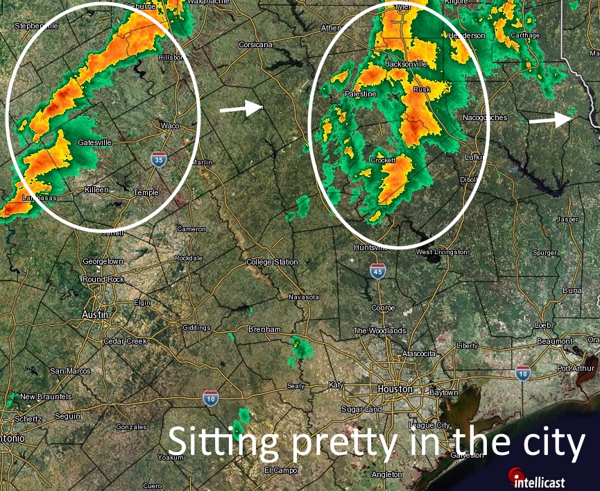
Good morning. The very heavy rain stayed well to the north of Houston during the overnight hours, with 1 to 10 inches falling across east Texas, generally increasing from Conroe north through Shreveport (there’s a flash flood warning in effect for parts of San Jacinto County, East Central Montgomery County and Polk County). Areas in East Texas such as Henderson and Marshall were hit especially hard.
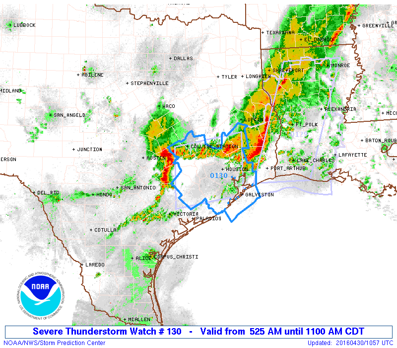
So far a capping inversion has held over Houston, to keep most of the metro area high and dry. However there’s one more round of heavy storms off to the west of Houston that will likely break this cap as it moves through later this morning. As a result the entire region is under a severe thunderstorm watch through 11 a.m.as this system moves toward Houston.