In brief: A cluster of non-severe storms will impact southern parts of the Houston area primarily this morning. A few additional storms could fire, especially east of I-45 or at the coast later today. We’re also keeping tabs on a chance of storms Sunday, followed by standard June fare next week.
Today
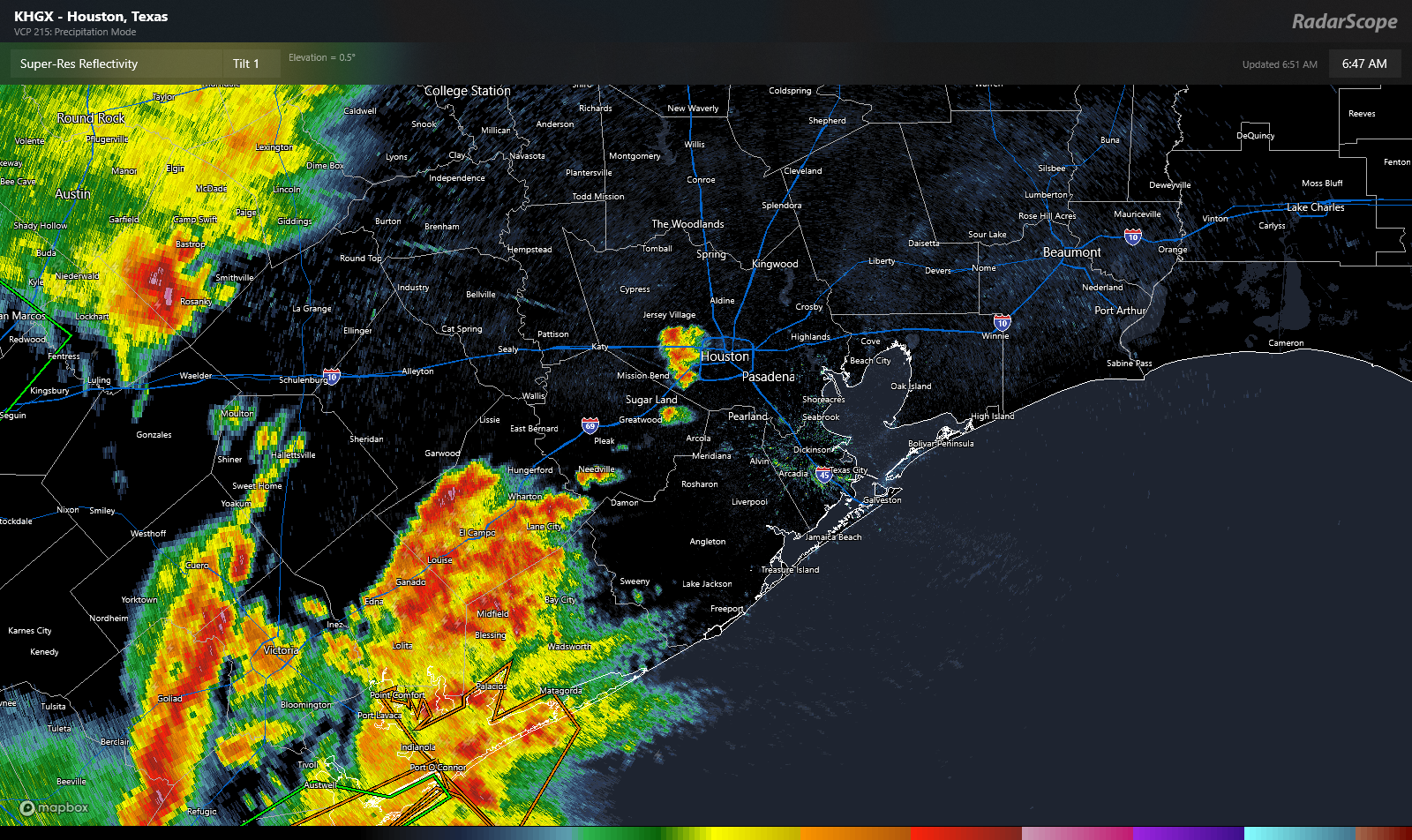
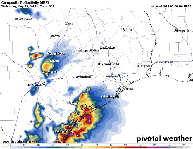
Another active radar this morning. It feels like it’s been this way a few times this week! Anyway, there is a complex of non-severe thunderstorms moving into the Sealy and Prairie View areas now. That will head into the rest of the Houston area, especially along and south of I-10 over the next few hours.
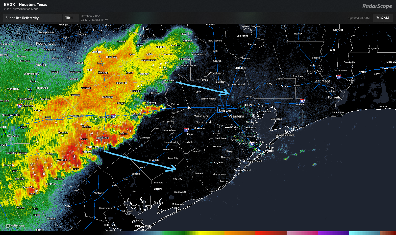
At this point, the storms are not severe, but they are producing heavy rain and lightning. Especially the southern part of the line, which is pushing through Shiner and moving toward El Campo. But other than the aforementioned rain and lightning, we don’t think these storms will cause significant problems.
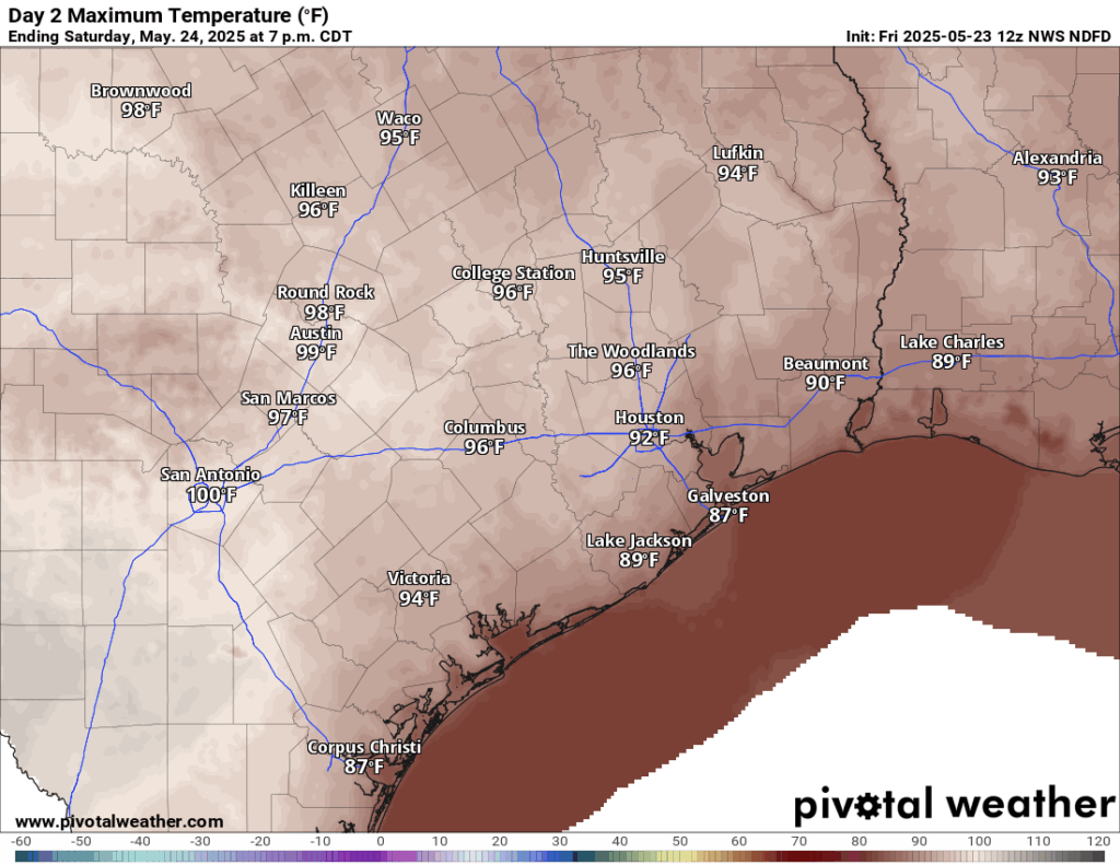
What happens next? Models suggest this cluster of storms will weaken further as it approaches Houston. On the periphery, new storms may develop heading into afternoon. One or two of those storms could be on the stronger side, especially east of I-45 or along the coast. Outside of thunderstorms, expect some cloud cover at times. It’ll be warm with highs in the upper-80s.
Weekend
Tomorrow looks like it *may* be the quieter of the two weekend days. Expect an isolated shower or storm, but in general, the weather may behave much like we saw yesterday, where it’s mostly sun and clouds. Highs will be in the upper-80s to near 90 degrees.
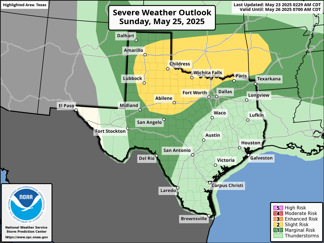
Sunday is mildly more interesting. Models have been pretty consistent since yesterday in showing at least some kind of line of storms dropping in from the north during the late morning or afternoon. I don’t think that’ll be a big deal, but if you have outdoor plans Sunday just keep an eye on things. Otherwise, expect highs in the low-90s.
Humidity this weekend will be (relatively) lower compared to where it has been, allowing morning lows to dip into the 60s in a couple spots and low-70s away from the coast.
Next week
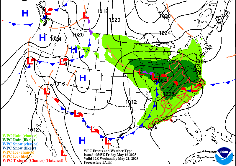
We should settle into a very June-like pattern next week. There will be a handful of shower chances sprinkled in through the week, but no one day looks worse than the others right now. Most days should be partly to mostly sunny. High temperatures will be in the low-90s, with low temperatures in the mid to upper-70s. The odds of mid-90s will increase later in the week.