In brief: A spectacular Friday and a winner of a Saturday will close Houston’s spring break week out nicely. Sunday will be warm and humid before a powerful cold front brings a pinch of rain and some potent winds in the evening and overnight hours. Much colder weather will drop temperatures from the 80s Sunday evening to the 40s Monday morning. Things then calm down.
After a cool but delightful Thursday, we set sail for another winner of a day today.
Friday & Saturday
It’ll be a cool start to the morning, but the day should warm up nicely, with highs in the mid or even upper-70s in spots on Friday. Saturday looks much the same with highs near 80 degrees. Humidity will slowly begin to inch upward later today and on Saturday, which you won’t notice a ton. Morning lows will be in the 50s tomorrow.

Rodeo Forecast
Spectacular evening for getting (responsibly) tipsy with Shaboozey. Temps will fall from the 70s into the 60s through the evening with light winds. The weather continues to look good for a moment like this on Saturday with Kelly Clarkson. Expect temperatures mainly in the 70s, maybe dipping into the upper-60s late. And then Sunday, it’ll be a little breezier and a little cloudier. Temperatures will be much warmer, and it will be humid. Look for 80s with a south wind blowing in around 20 to 30 mph. Prometiste.
Sunday night and Monday
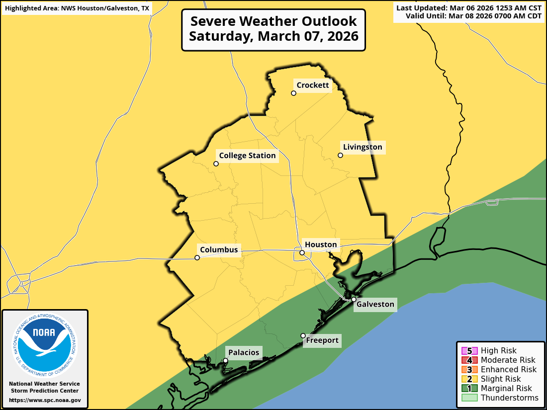
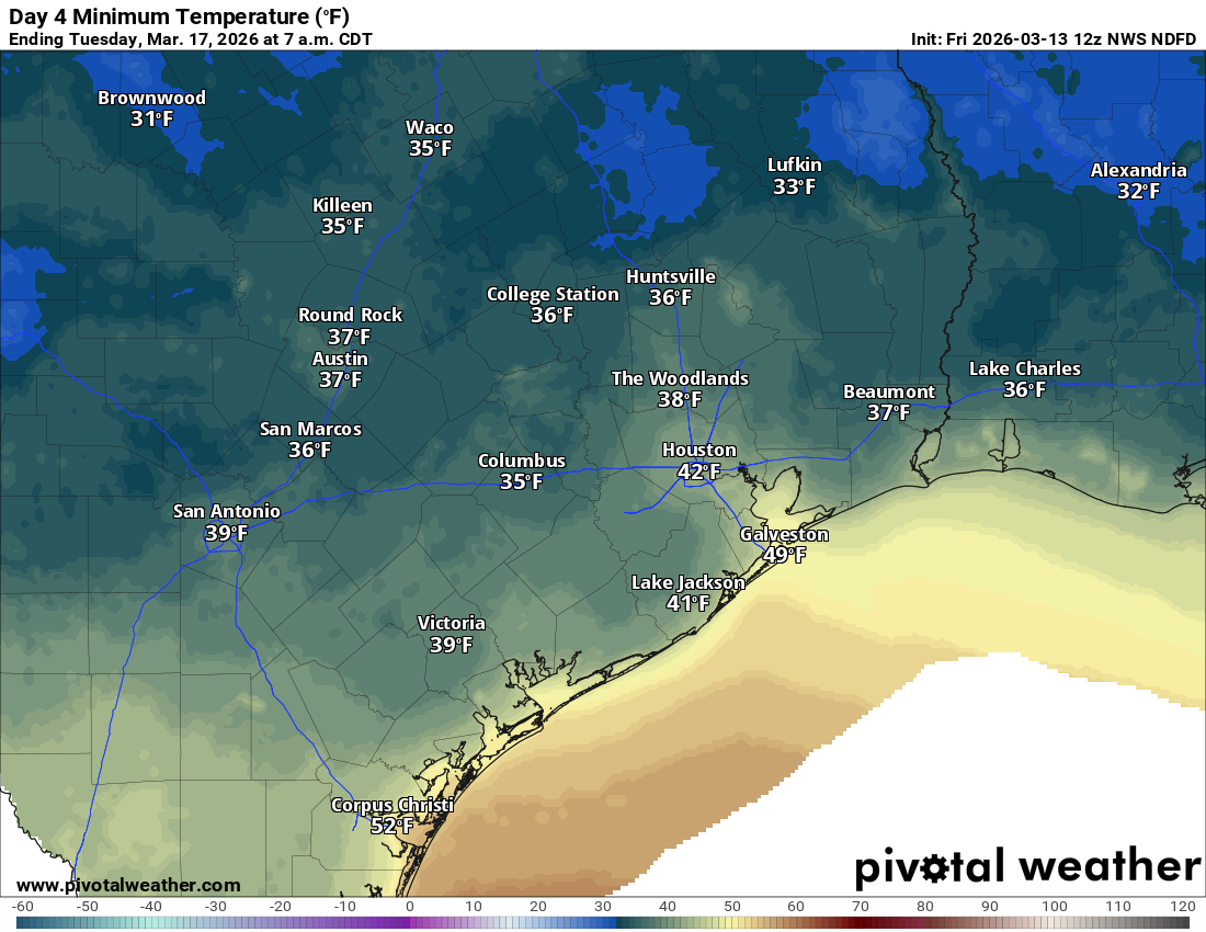
Here’s where the forecast gets a little wild. The cold front hits the area in the evening hours Sunday, after highs in the mid-80s. It will probably carry a broken line of thunderstorms. We don’t currently expect any severe weather from this, but it’s possible some strong storms occur, especially in northeast Harris or Liberty County. The area is in a marginal risk (level 1/5) for severe storms. But the front is going to arrive with some oomph. As winds flip around to come out of the north, they could gust over 40 mph for a few hours Sunday evening. Temperatures will also drop about 30 to 40 degrees from highs in the 80s to lows in the 40s.
We try not to be too preachy on the blog here, but this is one of those times where we’ll strongly encourage you to secure any loose outdoor objects, as these may be our strongest post-frontal winds since October, or even since last March. Those wind gusts will keep up into Monday morning, though slowly back off their peak levels, still probably 30 to 40 mph though. After Noon on Monday, winds should more rapidly drop off into the 20s mph. We are probably not getting out of the mid to upper-50s on Monday, even with sunshine. Monday night will be cold with lows in the 30s and low-40s.
Rest of next week
We sort of break out of this fairly active weather pattern next week, with quieter weather, warming temperatures, and increasing humidity. 70s should return by Wednesday and 80s by Thursday. Our next chance at rain after Sunday may be a good way away.