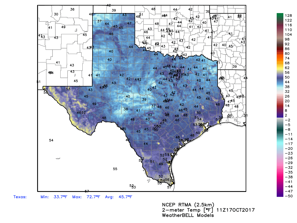
Oh, what a morning. Lows for some inland areas have fallen below 50 degrees, and all but areas hard by the coast have fallen at least into the upper 50s this morning. With dry air, and a crescent moon rising before the sun this morning, it was just about a perfect way to start the day. We’ve waited a long time for fall to arrive in Houston, but it sure feels great now that it has indeed moved in.

Tuesday
We can expect another perfect day across the region—we’ll see fewer winds today—as sunny skies allow high temperatures to reach about 80 degrees. Afterward, we can expect another cool evening and nighttime temperatures tonight a couple of degrees warmer than Monday night.
Wednesday and Thursday
Southerly winds will return on Wednesday, and this will lead to a gradual warm-up in temperatures this week along with rising humidity levels. We can expect high temperatures in the low- to mid-80s for the midweek period, with mostly sunny skies and a corresponding increase in overnight temperatures. This will mark the end of the front’s influence, but at the same time I do not think we are returning to the very, very warm weather we saw during the first two weeks of October.
Friday through the weekend
It’s been almost two weeks since most of Houston recorded any significant rainfall, but that could change this weekend. Moisture levels will rise, and there should be enough instability in the atmosphere for some showers and thunderstorms. Right now none of the model guidance is really going crazy with rain totals, but I think it’s reasonable to expect that most of the area will see 1 to 3 inches of rain from Friday through the weekend, although the details are difficult to discern. Right now I’d expect intermittent rain showers, with the potential for some stronger thunderstorms on Sunday. Temperatures will be dependent upon cloud cover and rain amounts, but I think we’ll hold in the low- to mid-80s.
A cold front will be moving through Texas this weekend, likely arriving in the Houston area on Sunday and bringing cooler and drier weather with it. Right now the start of next week looks pretty fall-like, with conditions similar to those Houston is presently experiencing.
Note
I will be speaking at a Hurricane Harvey flood symposium (see details) at 5pm on Tuesday at the University of Houston. The event is free and open to the public.

I saw the crescent moon this morning! It was beautiful! Thank you for your hard work and dedication!!!
Glad you enjoyed it!
Looking like Saturday for Wings Over Houston is the best choice?
How damaging could this front be, Eric? Could these rains or severe storms aggravate the suffering of those already displaced by Hurricane Harvey? How powerful is this front, anyway?