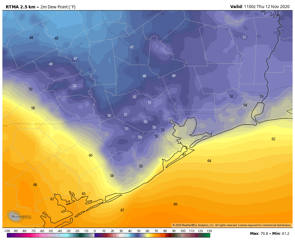
Good morning! Dry air has backed into pretty much the entirety of the region this morning, with the exception of Galveston Island and areas far to the southwest of Houston, such as Matagorda and Bay City. The map below shows the sharp contrast in dewpoints shortly before sunrise this morning. Drier air will linger through Friday before a more humid Friday night and Saturday. A front arrives Sunday to bring more fall-like weather to the region.

Thursday
Ample sunshine and drier air should help high temperatures climb into the low- to mid-80s today, with a light northeast wind. Low temperatures tonight will drop to around 60 in the city of Houston—with warmer temperatures along the coast, and cooler ones inland.
Friday
As winds shift to the southeast on Thursday night into Friday, we’ll start to see moisture levels begin to rise. This may lead to a handful of clouds, and we expect highs on Friday to reach the low 80s. Temperatures Friday night will be three to five degrees warmer than the region experienced Thursday night.
Saturday
The onshore flow will become more pronounced on Saturday, and so we’re likely facing a humid day, with highs in the low- to mid-80s beneath mostly sunny skies. Eventually, the onshore flow should bring to produce more clouds, and Saturday night looks quite warm with overnight lows in a lot of areas possibly not dropping below 70 degrees. For November, that’s sticky.
Sunday
Finally, there is some good general agreement in the forecast models about the timing of our region’s next front. It should reach far northwestern areas of the region—looking at you, Brenham—by around sunrise, push into the city by mid-morning, and reach the coast around noon. There is the possibility of some light rain showers with this front, but they won’t last as much drier air moves in behind. This front won’t be super cold—we’re likely looking at a few days with highs around 70s, and lows around 50—but the drier air will banish humidity for awhile. Dewpoints in the 30s are no joke.

Next week
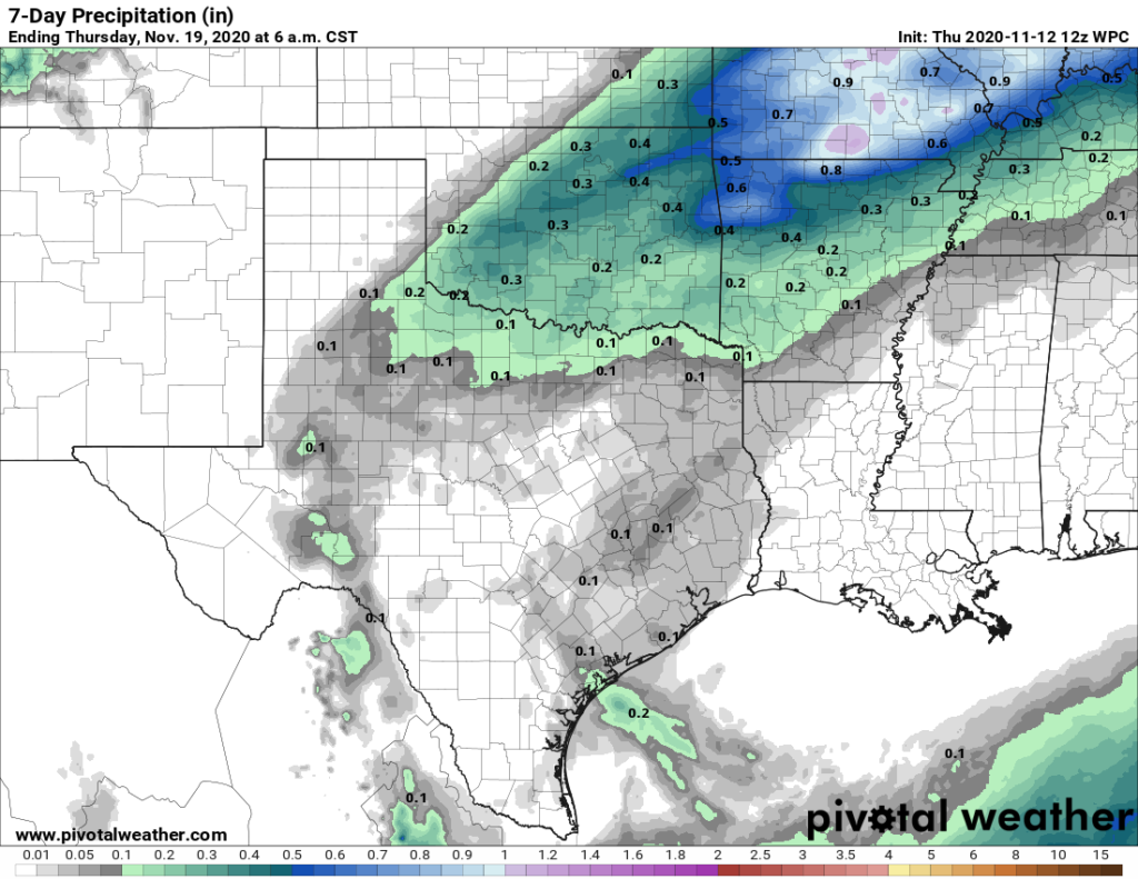
By Wednesday or so of next week, we should see a gradual warm-up heading into next weekend—perhaps into the upper 70s. As for precipitation, I’m afraid there does not appear to be much of that in the forecast for the next week or 10 days. We sure could use some—one good rain would go a long ways with our cooler weather.

So, we get fall for a couple of days, then back to summer light. Okey dokey then. I can turn the A/C off for a couple of days!!