Partly sunny skies return to Houston today, and after several days of rainfall, temperatures will rise into the mid-80s. It will be quite warm until the weekend, when a fairly strong cold front arrives. Cooler weather will follow.
Thursday and Friday
While a few scattered showers are possible during the afternoon hours, for the most part we’re going to see partly to mostly sunny skies to go along with onshore winds during the next couple of days. This is going to allow for afternoon temperatures to rise up into the mid-80s today, and potentially the upper 80s on Friday. Have your air conditioners ready.
Saturday
As we’ve been discussing for several days, a cold front will push through the area on Saturday. The most likely time frame is still from late morning through the afternoon hours, and with warmer air aloft conditions are not going to be ideal for rainfall with the front. If this capping inversion breaks, it will be possible for some thunderstorms to develop during the daytime, but I don’t expect most areas to see more than very light rain—if that. Northerly winds will bring drier air into the region in the wake of the front, and conditions will cool off quickly on Saturday night.
(Space City Weather is sponsored this month by The Mole, a Jonathon Price novel.)
Sunday
This will be one of the last days of spring, 2017, for which high temperatures only reach into the 70s. After a cool start in the 50s, look for a pleasant, mostly sunny day with moderate northerly winds. What outdoor activities should you pursue on Sunday? All of them (except swimming).
Monday
Sunday night into Monday morning should be the coolest Houston gets in awhile, with lows north of west of the city likely falling into the 40s, and most of the city getting into the low 50s. Monday itself will be mostly sunny, with a high of around 80 degrees.
Tuesday and beyond
As the onshore flow resumes by Tuesday or so of next week, look for highs to climb back into the low- to mid-80s, but prospects for rain showers remain low until next weekend. If you’re riding the BP MS-150 from Houston to Austin, I do have some concerns about the potential for storms on next Saturday and Sunday, but it’s hard to have too much confidence in extended model runs at this point. We’ll watch it for you.
Posted at 6:55am CT on Thursday by Eric
Ha! In Washington, temps getting into the 70s IS swimming weather. Perspective.
On Saturday I think the chances are very, very low. Wouldn’t be shocked if most people stay dry or see just a few raindrops really.
Thanks for the MS150 updates. Really want that rain to go away next weekend
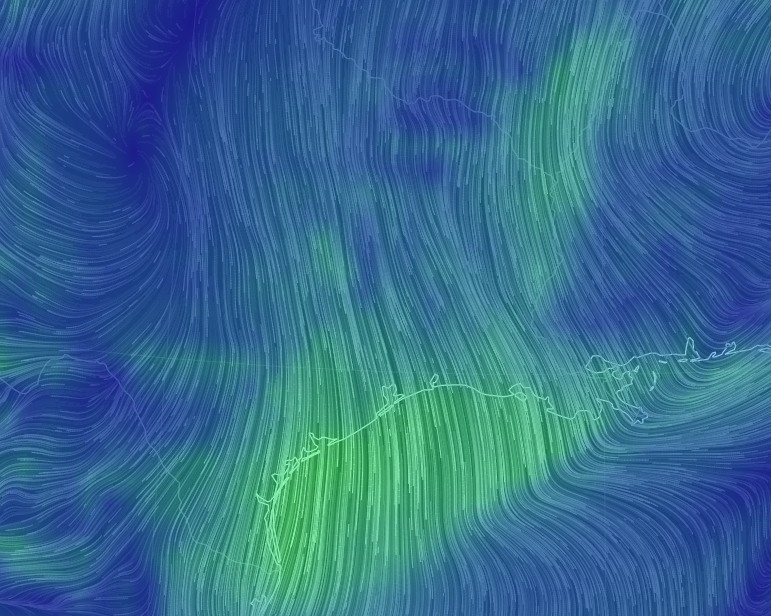
Jet stream was strong up north https://www.ventusky.com/?p=32.8;-94.4;4&l=wind-300hpa&t=20170421/20