Summary: After a few days of gorgeous weather Houston’s pattern has begun to change with a more southerly flow. By late Friday night this is likely to produce some showers and thunderstorms, which will likely peak in activity on Saturday morning. Then we should see sunny and cooler weather through the middle of next week.
I also want to thank everyone for their kind words about our sponsorship agreement with Reliant, and the slight tweaks in our site design. Essentially we’ve changed the font for headlines, and updated the header image at the top of the page. For those who don’t know, I essentially created Space City Weather on a Friday night in October 2015, in a few hours, ahead of some storms. So the (now dated) header image was rushed. I grabbed a NASA image of the Space Shuttle carrier aircraft flying over the Houston skyline, cropped it, added some text, and called it done. The new design looks more professional and updates the “space” iconography to the International Space Station. I loved the Shuttle, but it did retire 12 years ago. Our friends and neighbors are flying on the station at this very moment, so it embodies Space City.
Thursday
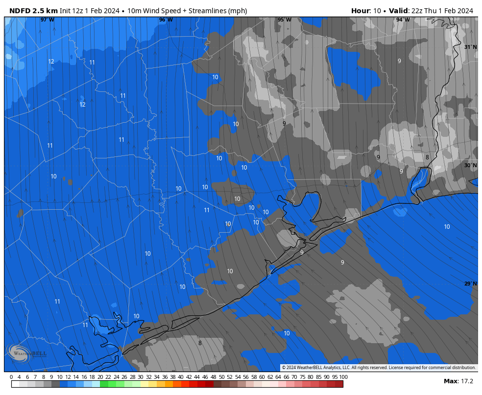
After some patchy fog lifts this morning we’re going to see a partly sunny day. Temperatures will again be mild, reaching about 70 degrees. As mentioned above, the winds will be from the south at 5 to 10 mph, and this will start to raise humidity levels a bit. But with dewpoints in the 50s it will still feel reasonably dry. Lows tonight will drop into the mid-50s.
Friday
Temperatures will again rise to around 70 degrees, or just above. Skies will be partly sunny. It will be a little more humid than Thursday, and a little more breezy. But still nice. While I can’t entirely rule out some light showers on Friday evening, I think the rain will hold off for the most part until after midnight. So any Friday evening activities you have look good to go at this point.
Saturday
An upper level disturbance, along with the next cold front, will begin affecting our weather early on Saturday. While we’re not fully in the realm of high resolution modeling yet, my sense is that we’ll see on-and off showers and thunderstorms overnight, with a line of storms pushing through some time on Saturday morning. After this line of storms we may see a few lingering showers into the afternoon hours.
How strong will the storms be? As there will be a fair amount of shear, I can see the potential for some damaging winds. The other concern is heavy rainfall. It still looks like most of the area will see 1 to 3 inches of rainfall, but the good news is that the storms are likely to be fairly progressive in moving from west to east. So I don’t see a whole lot of training. The potential for heavy rainfall is generally greater to the east of Houston.

Drier air will start to filter into Houston on Saturday afternoon, so we should see at least some partly sunny skies later in the day. Temperatures will likely be in the upper 60s. Lows on Saturday night will drop to around 50 degrees in Houston, with cooler conditions for outlying areas.
Sunday
Sunday looks sunny and pleasant, with highs in the upper 60s—but there’s a catch. We’re going to see an additional push of cooler and drier air, and this will result in a windy day, with gusts up to about 30 mph from the north. These winds will persist overnight, when temperatures drop into the 40s, and Monday morning.
Next week
We’ll see sunny and cooler conditions, with nights in the 40s, through the middle of the week. After that daytime temperatures will warm into the low 70s, probably, into the weekend. Conditions look mild throughout, with a slight chance of rain returning by next Saturday or Sunday.

Guys, love the n ew look and especially appreciate your consistent, accurate and FUN weather information! Thanks for all you do to keep us informed and safe!
Eric, I’ve been following since you were at the chronicle. I have been evangelical in spreading the worth of SCW since you created it. Keep up the good work. I do miss the shuttle image.
I’ve run across a rather good article on weather mis-information, today, in the NY Times. https://www.nytimes.com/2024/02/01/us/storm-misinformation-viral-social.html
Thanks again for being here SCW.
Well we finally had a winter month average below normal again. January 2024 was the first winter month to average below normal since February 2022. If the pattern doesn’t drastically change later this February, than it will likely average above normal just like most other months do nowdays.
On a positive note, the new drought report just came out and SE Texas is now out of the drought that has terrorized us since June of last year.
Let’s keep it that way.
January was 3 degrees spot on below average, and so far every day has cooled to 65 degrees or lower. An actual winter!!!
Last full day above 65 was November 8, 2023 for anyone wondering.