Good morning. Temperatures have reached the 60s for some inland locations, with much of the rest of Houston in the low- to mid-70s. With lower dew points it feels, dare I say, almost sort of pleasant outside? Thanks to a front that pushed offshore earlier this week we’ll continue to see drier air through about Friday morning. But because dry air warms quickly, we’re still going to see hot days, with highs in the upper 90s to 100 degrees. Evenings will cool off more quickly, however.
Due to the lower humidity, and somewhat breezy conditions, a “red flag” warning is in effect for pretty much the entire region. This combination of winds, low relative humidity, and warm temperatures will create the potential for explosive fire growth. Please avoid all outside burning. Do not toss lit cigarette butts outside. Report wildfires to the nearest fire department or law enforcement office.
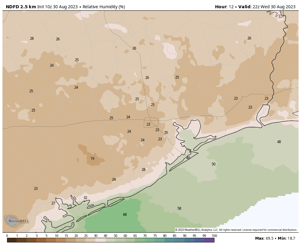
Wednesday
High temperatures today will reach about 100 degrees for much of the metro area, but with dew points this afternoon dropping into the 50s, it genuinely will be a fairly dry heat. Close your eyes, and you’ll be able to pretend you’re in Arizona. Skies will be sunny. Winds will be out of the northeast, mostly, today at 10 mph with higher gusts to about 20 mph. Lows on Wednesday night should again drop into the 70s for much of the area.
Thursday and Friday
These days will also see a fair bit of drier air, although dew points will slowly be coming back up. Skies will be sunny, with highs of about 100 degrees. Again, mornings and nights should be fairly pleasant, at least for this time of year.
Saturday and Sunday
The weekend will see more mostly sunny skies, and highs of around 100 degrees. Humidity, alas, will be back. However, along with it we’ll see some decent rain chances. Coastal areas probably have about a 30 percent chance of a shower on Saturday, and most of the region that much of a shot on Sunday.

Labor Day and beyond
Rain chances likely peak on Labor Day, with perhaps a 40 or 50 percent chance of seeing a passing shower. These are not, for the most part, likely to be drenching and long-lasting rains. But any showers are welcome, and they’ll also cool the air. Look for highs in the upper 90s on the holiday.
Most of next week should see continued highs in the vicinity of the upper 90s, with decent rain chances on the order of 30 percent daily, or so. High pressure will be far enough to our west that some sea breeze storms will be possible. There are still no signs of truly widespread rain, which is needed to break the region’s drought, alas.

Tropics
Unfortunately, but not unexpectedly, Hurricane Idalia has blown up into a Category 4 storm overnight. Idalia is about to make landfall in Taylor County, FL, with catastrophic storm surge in the Big Bend and wind, tide, and rain impacts spreading north into Georgia and the Carolinas later. We will have full and ongoing coverage of the storm today on The Eyewall. Beyond Idalia there are no areas of concern in the tropics, as far as impacts to the United States and Caribbean Islands are concerned.


Long-range GFS models hinting at a storm impacting upper Texas coast around 9/10. Fantasyland or any substance in models almost two weeks out?
Da Plane, Da Plane – GFS that far out is like picking stocks by throwing darts at the stock price tables in the paper.(do they still even print those?)
Glad our weather is becoming more tolerable, but God protect those in Florida!
The smoke from a wildfire near Sabine Pass was very visible on satellite yesterday while I was watching Hurricane Idalia.
Great coverage. The “Eye Wall” site is great. Keep up the good work, you are
My primary weather source
Feels like a blow dryer around 4pm with that Northern Breeze
“Pretend we are in Arizona”…yep! That’s been almost a mantra for us this summer.
Okay, so I’m checking NWS August 2023 monthly rainfall at Hobby and I’m coming up with a T (trace). If all holds true ( no rain in forecast) for these last 2 days, will this be our all time driest August for that location?
It was almost – repeat, almost – refreshing on the 6 AM walk this morning. Keep it up, guys!
For those of you manning the lemonade stand for BHF’s moving fees, can I get in on that action or do I need a separate stand?
“Do not toss lit cigarette butts outside.”
Don’t toss unlit ones either, as the rest of us don’t want your filthy litter all around.
I didn’t immediately hate my existence as soon as I stepped out of my house this morning! Thank you low humidity for making life that much sweeter!
I’m with 100% lol
It felt sweet ealier this morning, with a low of 68 degrees with a light crisp breeze. It was borderline open the windows weather for me. It’s nice to see an early hint of fall like this already.
It was very nice this morning, 71 degrees in my neighborhood. Soon it will be jacket weather!
I almost felt a “chill” this morning when walking the dog. Put an immediate smile on my face
“Life starts all over again when it gets crisp in the fall.” – F. Scott Fitzgerald
This morning was just the trailer, the full fledged epic movie previews in about 3 weeks give or take…
Thank you the cigarette warning. Last week, I watched a service truck pull over across the street while the driver took a phone call and he flicked a lit cigarette onto the street before he drove off. I was livid and raced outside to get water on it bu stopped short of yelling at him that we’re under a fire warning.