Summary: Under the influence of high pressure, the Houston region will see calm weather this week. We’re going to see some seriously nice conditions before the onshore flow returns by Thursday or so. Unfortunately the weekend will be marred by increasing rain chances. Saturday looks especially wet at this point.
Monday
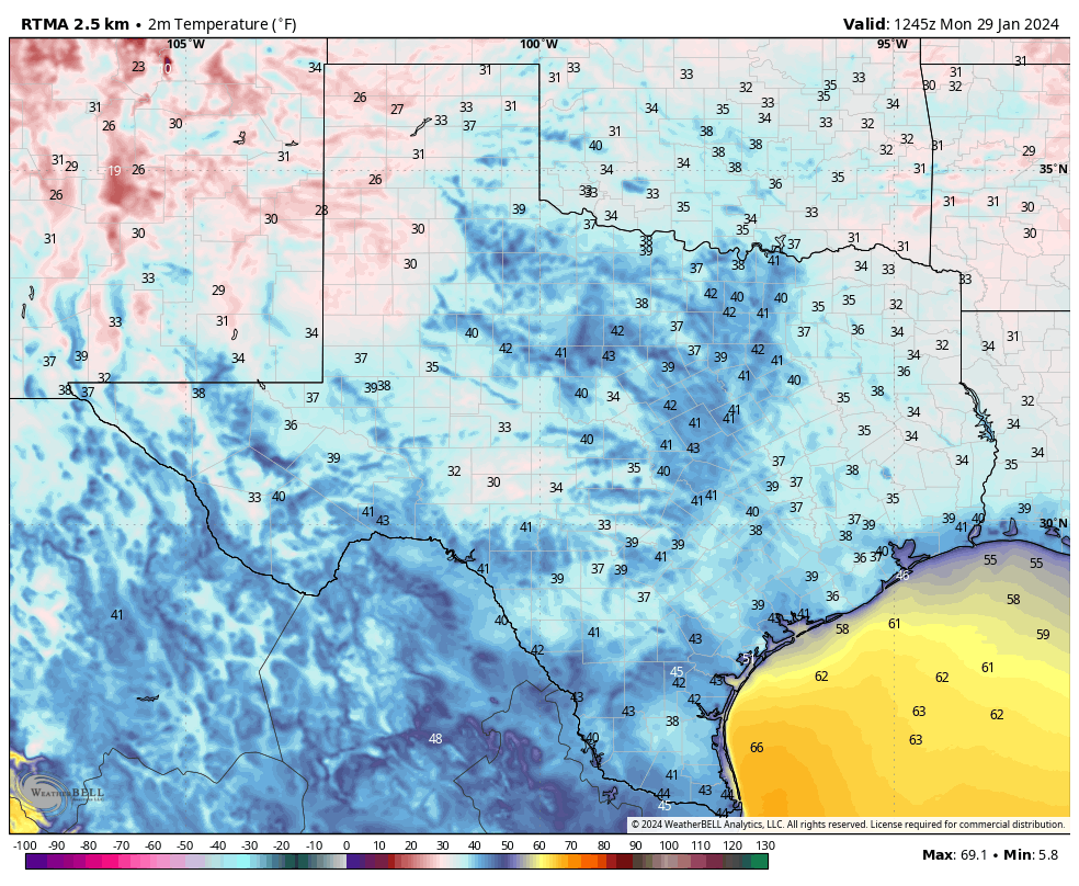
It’s chilly outside, with lows dropping in the upper 30s to around 40 degrees in Houston this morning. These will be the coldest temperatures of the week, as we’ll see a gradual warming trend heading into the weekend. Skies today will be mostly sunny, with light winds from the northwest, and then the west. Low temperatures tonight will be a bit warmer, generally in the mid-40s in Houston.
Tuesday and Wednesday
These will be a pair of partly sunny days, with highs near 70 degrees, and plenty of dry air. Winds will be light. Lows will drop into the upper 40s for most locations. This will be seriously nice winter weather for Houston.
Thursday and Friday
The pattern will begin to change, slowly, with the return of a more pronounced onshore flow by Thursday. We’ll start to see humidity levels rise some, and winds will be a little more noticeable from the south at about 10 mph. Highs both days will be around 70 degrees, give or take, with partly sunny skies. By Friday night we may only see lows drop into the upper 50s, with a slight chance of rain in response to rising moisture levels.
Saturday and Sunday
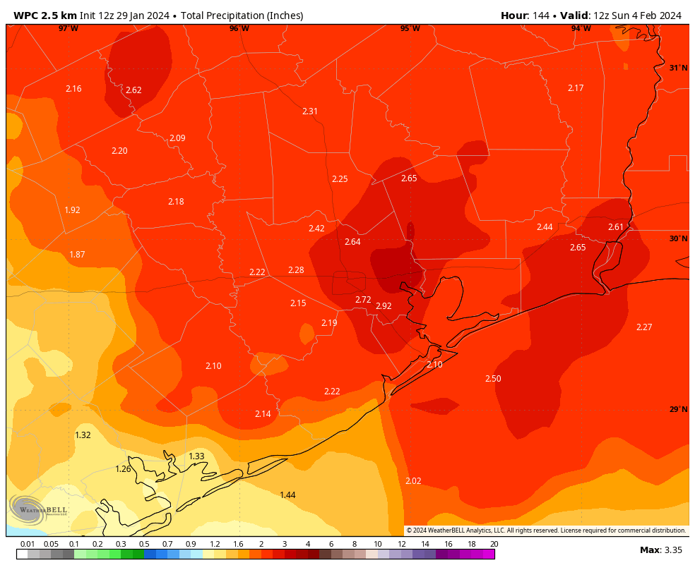
In response to an upper-level disturbance we are going to see increasing rain chances from Saturday morning into Sunday morning. The precise contours of this rain are yet unclear, but it’s likely that we’ll see 1 to 3 inches with the best chances during the daytime on Saturday. Highs will be in the upper 60s on Saturday, and then cooler on Sunday in the wake of the cool front, perhaps only 60 degrees. Sunday, probably, will be mostly sunny. Lows on Sunday night will drop to around 40 degrees.
Next week
The start of next week should see the continuation of sunny skies, with days in the 60s and nights in the 40s. All in all, things look fairly mild and dry.


After the heat and drought experienced during the “Summer From Hell” the December 31st – January 28th time has been the second wettest in our 132 years of data. Officially pulling most of the Houston area out of the extreme drought we were in.
And statistically speaking the chance of this summer being as miserable as the one we just endured seems refreshing as well.
Things are looking up!
Yes! The clover has sprouted green everywhere instead of just dead grass from the Summer from Hell. Lol And a rainy Saturday in February is always good for sleeping in.
Having a triplefecta is horrifying to be sure.
Im reasoning that if the wet pattern carries deep into spring, perhaps that prevents the death ridge from forming over Tx and gives us a garden variety summer around here.
Will there be rain next weekend February 10th?
Too early to get an accurate weather forecast for that date, better to wait the end of this week for an answer
Unless you are a professional with a rep to maintain, a model based guess is always available under 2 weeks out. The next Pacific storm after this coming weekend is offshore of California on Feb 8 per GFS so it seems unlikely such storm is here Feb 10. But that’s a guess.
What I want to know from this gallery is: are we done with PV outbreaks of the arctic? What do the sleuths say. I know I thought so near the end of January 2021….
What are the odds that we are done with winter precipitation?
Historically speaking, I would say that the odds of us not seeing winter precipitation again are pretty high but not zero. Usually cold snaps with winter precip like the one we just had only happens once in a winter season. However sometimes we can get slapped with more than one arctic cold front with sleet, snow, or freezing rain during the same winter. It happened in December 2017 and January of 2018. But most of the time it is pretty uncommon to get more than one winter precipitation event during the same winter especially with temperatures dropping into the teens.
Btw I meant to say the odds are pretty high that we won’t see winter precipitation again but not a 100% chance that we won’t.
Are we just going to keep flirting with warmer weather the rest of this winter? Almost seems like were heading into spring already.