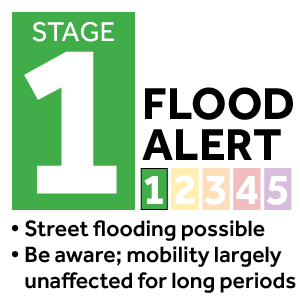
In brief: We interrupt your Labor Day weekend just to reinforce our messaging that widespread rainfall is likely today and Monday, and there is a risk of excessive rainfall particularly on Sunday. We are calling for a Stage 1 flood alert on our scale out of an abundance of caution.

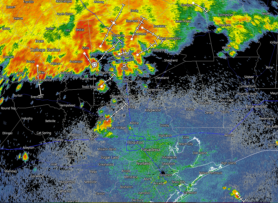
If we check the radar as of late morning on Sunday there is a large mass of showers and thunderstorms to the north of the Houston metro area, pretty much along and north of Highway 105, which runs through Conroe. These storms are slowly moving south and will have some impact on the Houston region today, although we still have some questions about how much.

The background factors are a slow-moving, or essentially stalled front that should sag down into the Houston region today. The atmosphere is already laden with moisture, and the front will provide a spark to generate precipitation. For these reasons we face the potential for heavy rainfall in our region today, and we are instituting a Stage 1 flood alert through Monday. This means there should be mostly minor flooding impacts, with the potential for frontage roads and low-lying streets to back up. Not everyone will see rain, and fewer still heavy rainfall.
My general sense is that the mass of storms to our north should mostly remain to the north. But there is certainly a risk of re-development over central or coastal parts of the region later today. The environment for Monday also should be favorable for additional showers and thunderstorms, although the potential for flooding appears to be slightly less. The bottom line is that, as you enjoy the Labor Day holiday weekend in Houston, please be weather aware, and keep an eye on the radar as you venture out and about.
