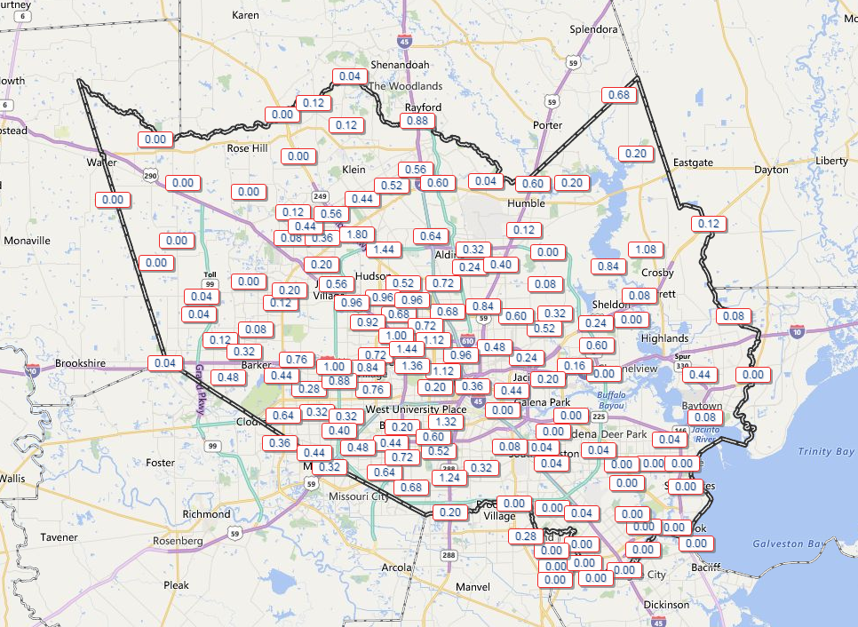
Houston’s weather has been a bit noisy this week. After another busy day Tuesday (a bit surprising to me admittedly), today should see the volume turn down a bit. Showers and storms moving through the region dumped 1-2″ on some folks, while others, again, saw nothing but some clouds. Again, welcome to Houston in summer.

Speaking of, this evening, Braniff is going to have more on some of the “why” behind our summertime storms!
TODAY
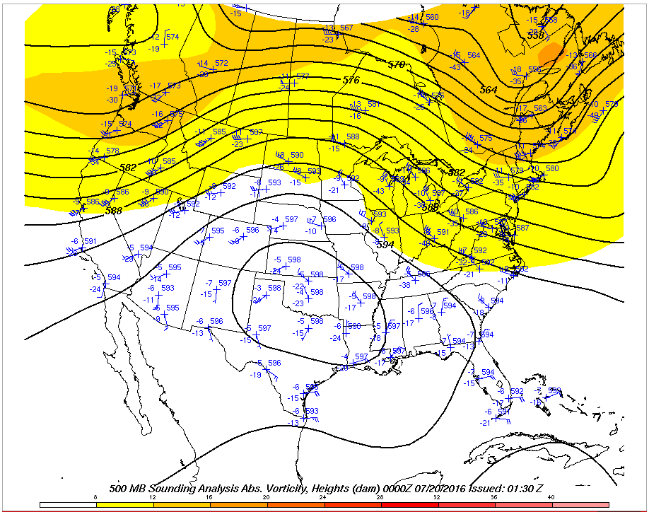
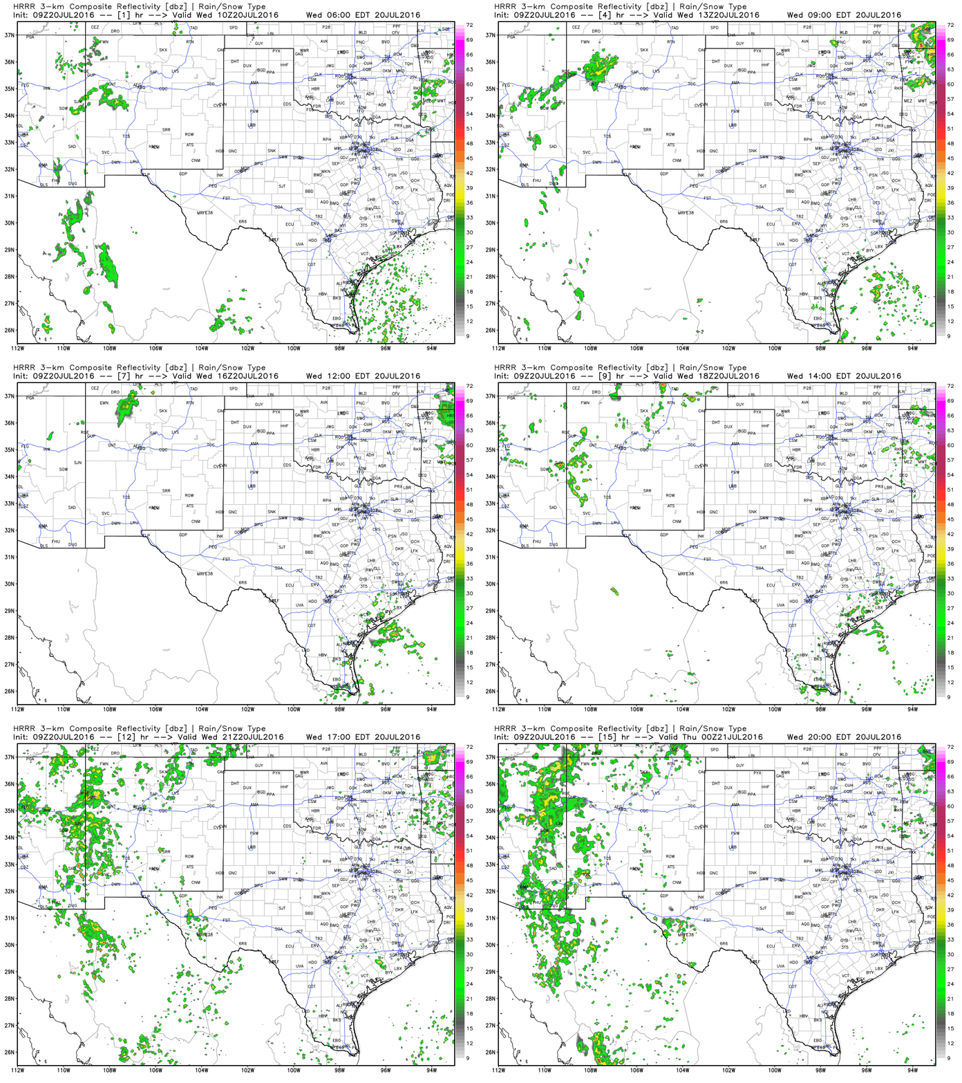
Given the action of the last few days, I feel obligated to at least include a chance of showers and a thunderstorm today. That said, weather radar is much less active this morning than it has been the last couple days. The weather models also insist that activity will be less than yesterday. This does have merit, as the heat dome over the Plains has expanded in the last 24 hours, meaning slightly drier air should be taking hold.

Still, it would be wise to be cautious with the forecast today. We’ll say, “Probably not many showers, but there should still be a few around.”

Temperatures begin their upward march though: Back into the solid mid 90s today.
TOMORROW-WEEKEND
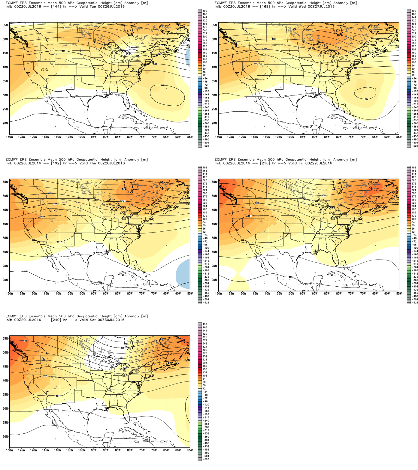
Persistence is the rule. High pressure flexes into Texas and peaks on Friday. As we go into the weekend, the heat dome breaks down and begins to split, with the bulk going into the West, and a second high pressure area off the East Coast. That means we end up in the middle. It should still be hot and mostly dry through Sunday, but I do expect at least a few storms in the region again by this weekend.
Houston’s high temperatures will be mid to upper 90s through Sunday, with AM lows in the upper 70s (hotter inland, a touch cooler at the coast).
NEXT WEEK
Peering into the longer range…
Texas is going to remain under the influence of upper atmospheric high pressure through much of next week. This should mean hotter than normal weather persists. It should also mean that rain chances will remain lower than usual for this time of year. But we’re sort of in a tight spot.

Notice, high pressure isn’t too far away, but it also isn’t that close either. This puts us on the edge between flat out hot and dry versus hot with at least a few storms around. The takeaway here: Don’t expect too much relief from heat over the next 10 days, but I guess that’s normal in late July in Houston. But as far as rain goes, I’d bet on below normal rainfall. It will be a close call. If you live near Beaumont, you probably have a better shot at storms than if you live in, say, Katy. But it’s something we’ll watch. Either way, summer marches on…
Is there a specific map parameter (and corresponding height) that best indicates subsidence?
My uninformed guess would be vorticity (negative = sinking air?), but the Tropical Tidbits model page only shows positive vorticity. The Pivotal model page shows negative values, but I’m curious why TT would only show positive.
What height is most important for subsidence?
There’s not so much a height level or specific map to look at to gauge subsidence. Basically, you want as strong an area of high pressure centered over you or amplified over you as possible. Once you start getting heights of 594+, you start getting into a strong upper atmospheric high pressure scenario. I’m not sure vorticity will be much help in that situation. Here’s a good read on vorticity: http://www.theweatherprediction.com/charts/500/vorticity/ (Actually, this entire site is awesome if you want to learn more about weather things).
We may have a problem in the Gulf next week if the GFS continues to shunt a projected TC westward. Stay tuned!
The GFS has shown at least 2-3 strong tropical systems in the Gulf this season that have not verified. The Euro isn’t as excited with the African wave that emerges next week, so for now I’m not really worried. In fact, I have read that the upgraded version of the GFS (the one we’re using now) tends to overamplify tropical waves in the Eastern Atlantic. So…wouldn’t sweat it right now at all.
Yeah, they always muck up a good thing, don’t they?