Good morning. It’s Thursday. So we’re edging closer to the weekend, Houston!
TODAY
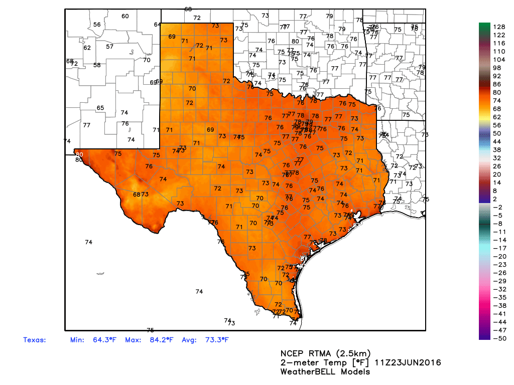
Houston’s not directly under a ridge of high pressure today, but we’re close enough that any rain showers that do develop should be fairly isolated. For the most part we’re going to be hot, humid and sunny with highs in the low- to mid-90s. Heat index values may climb into the low 100s.
FRIDAY through SUNDAY
The high pressure system north of Texas should move off to the east by Friday, putting us into a typical summer-time pattern for the Houston region. This means we’ll enter a pattern that favors a bit more rain coverage. We’ll still see highs in the low- to mid-90s, but chances of late morning and afternoon showers and thunderstorms will be a little bit higher. These may briefly disrupt outdoor plans, but I do not think they will cause any major flooding problems or other concerns. They will pop up, briefly cool an area, and then should move on. If that changes, we’ll certainly let you know.
MONDAY through WEDNESDAY
I don’t see the pattern changing too much, although early next week could be a little warmer, with highs in the mid-90s to go along with our scattered showers and thunderstorms. At this point it looks like rain coverage may be a little higher on Wednesday, but we’re still not talking washouts.
TROPICS
The GFS model continues to show development of a tropical system in the Gulf of Mexico during the first week of July. Various runs on Monday showed a moderate tropical storm or even a hurricane hitting the New Orleans area. However the system never showed up in any of the 51 ensemble members of the European model, so while its certainly viable to have tropical weather in early July, I’d have a healthy skepticism you see for any reports about the likelihood of storms just yet.
It’s like time to sweat, Eric. Latest GFS run (18Z) points a 995 MB storm (Cat 2) hurricane right at Houston/Galveston. Hope the Euro doesn’t pick up on that.
Eric, I have a possible explanation for what you’ve just said in your blog.
I think that the ECMWF/CMC isn’t developing the GFS system is because it believe that the energy to be stolen by a potential EPAC system, which the GFS fails to show. The GFS may not be taking that under consideration.
What do you think? Let me know, ASAP.