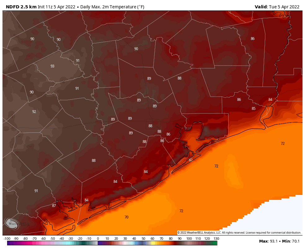
Good morning. Houston is “enjoying” its warmest morning so far of 2022, with lows only falling into the low 70s for much of the region. We’ll have one more warm day before a front arrives on Wednesday to set the stage for a much more seasonal rest of the week, and weekend.
Tuesday
There is some patchy fog across the metro area this morning, but it should lift by mid-morning as temperatures warm. How much sunshine breaks through this afternoon, and how quickly it does, will determine how high our temperatures go. But I feel pretty confident that at least some parts of the metro area will reach 90 degrees for the first time this year, especially areas west of Interstate 45. Winds will generally be light, out of the southwest. Some fog will be possible tonight as temperatures drop to around 70 degrees.

Wednesday
If you’re not quite ready for the heat, relief arrives on Wednesday in the form of a front that likely will reach areas north and west of Houston by late morning, the city itself by around noon, and clear the coast during the afternoon. Northwesterly winds will quickly bring drier and cooler air into the region, with afternoon temperatures around 80 degrees, and overnight lows in the 50s.
Thursday and Friday
The end of the work week should bring a pair of sunny days, with highs somewhere in the upper 70s, and lows dropping to around 50 degrees in Houston, with 40s likely for areas further inland. Both of these days will be fairly breezy, with sustained winds of 10 to 15 mph, and gusts up to 25 mph or so. Even so, these winds mean drier air, with dewpoints dropping to around 30 degrees. That won’t happen too many more times this spring, y’all. If at all.

Saturday and Sunday
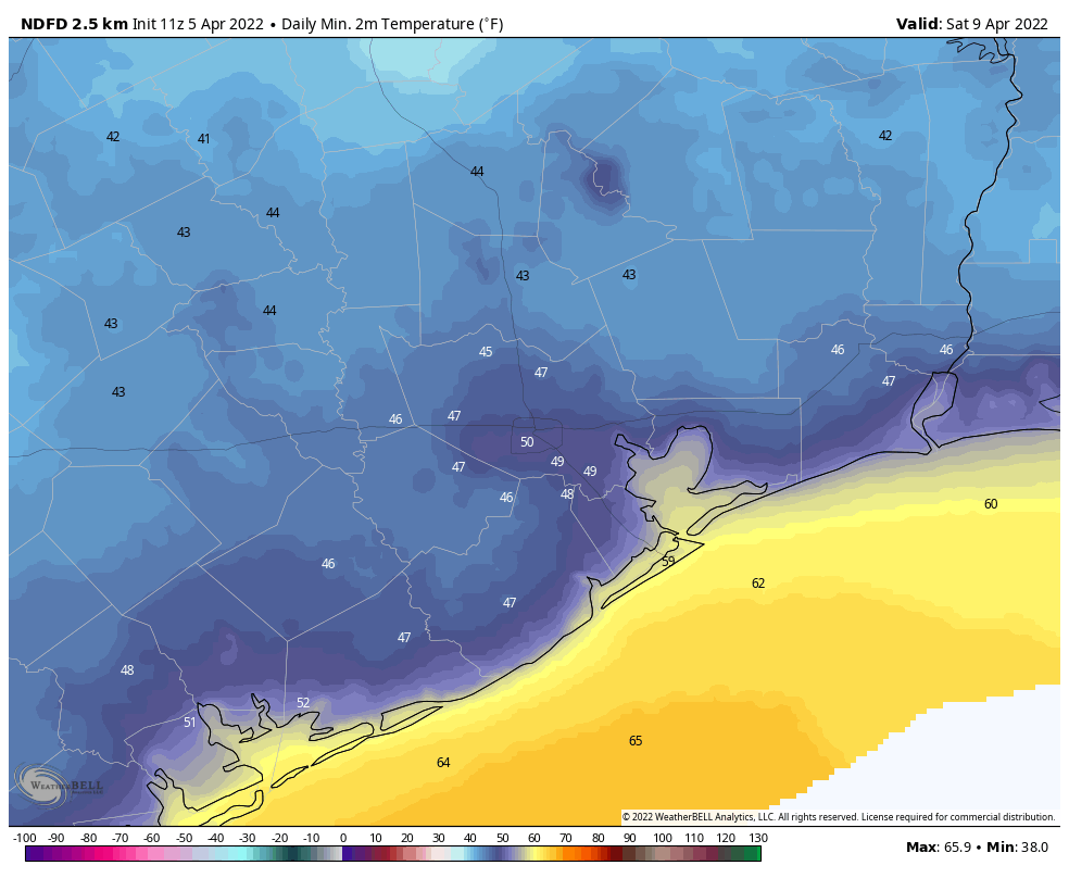
After a cold start on Saturday morning, the onshore flow returns this weekend. Both days should see partly to mostly sunny skies, with highs in the low 80s. The southerly flow will be a bit stronger on Sunday, so we’ll likely see winds become a bit more gusty. Lows by Sunday night will only drop into the upper 60s, probably.
Next week
Most of next week looks to be in the 80s, with warmish nights. Some rain chances return by the early part of next week, but they’re nothing to write home about. Another (weak?) front may arrive by Wednesday or Thursday to bring some drier air back into the region. We’ll see.
Summers in Houston are THE WORST!
Horses for courses… I can’t WAIT for summer!
Today is a temporary leap into summer. I still prefer it over cold weather, though
I really love getting your email and hearing your weather.
It is down to earth with no hype!
Thank you and continue your good work.
Summer is only 9 months of the year here in Houston. But, it is still too early. For those who are cold: put a jacket on.
Is the front bringing rain with it?
Bring on our summer! Love the monsoons at 5 pm, balmy nights, and the tropical summer flair in Htown!