Good morning. Houston experienced its first 90-degree day of the year on Tuesday. But while it was undoubtedly hot outside, dewpoints were reasonably low—in the mid-60s—so for Houston it was a somewhat dry heat. A front moving through the region today will sweep the heat and moisture away for a bit. But not forever, of course, as we’re now mere weeks away from the onset of summer-like conditions. In today’s post I’ll also take an early look at an Easter forecast.
Wednesday
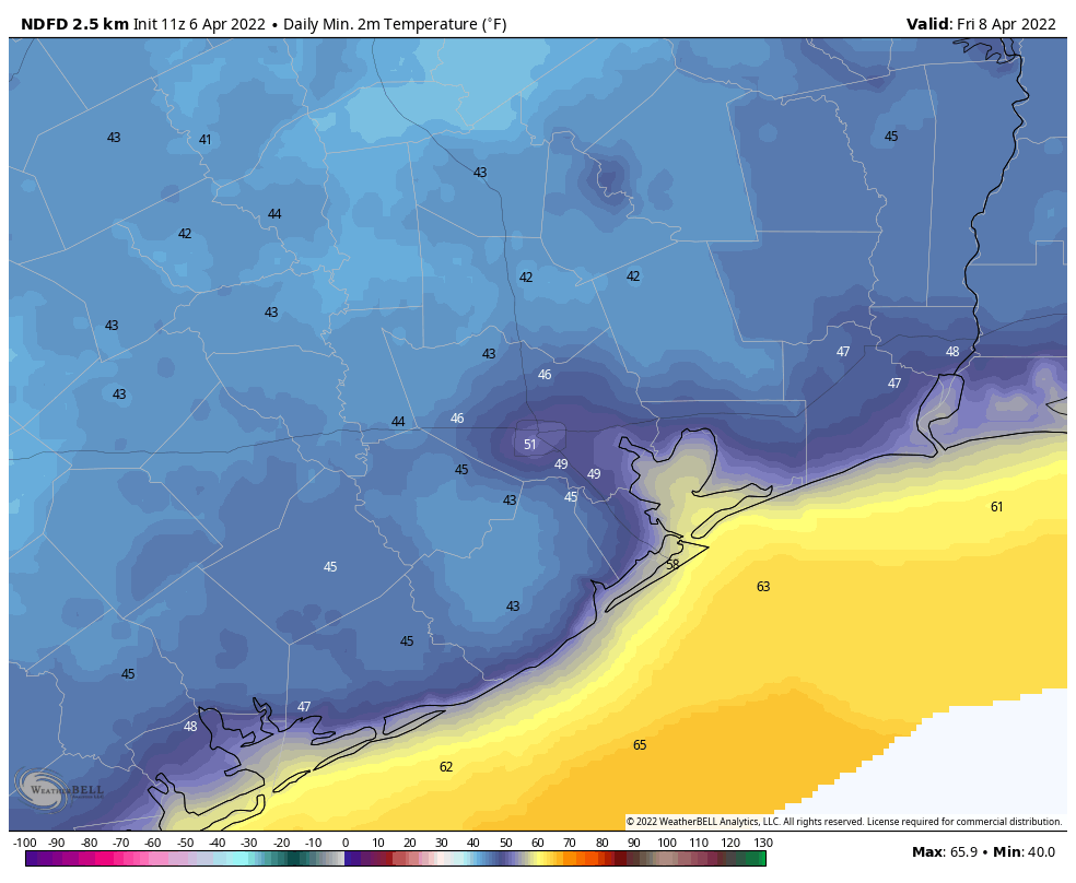
Temperatures are generally in the low 70s this morning, with some patchy fog. This will lift as temperatures rise. There should be no rain with the front, but the wind shift should be noticeable along with a rapid influx of drier air. The front will will likely reach areas such as Katy and The Woodlands by around 11 am, central Houston around noon, and push off the coast by early afternoon. In the wake of the front, this afternoon, expect temperatures to settle at about 80 degrees with winds gusting to 25 or possibly even 30 mph in some locations. Lows tonight will drop into the mid-50s.

Thursday and Friday
These will be a pair of sunny days, with highs in the upper 70s, and lows of about 50 degrees. The air will also be quite dry, with dewpoints dropping to about 30 degrees. This is probably the driest air we will see until at least October, if I had to guess. Both Thursday and Friday will be breezy, with gusts out of the north up to 25 mph, to support this influx of drier air.
Saturday, Sunday, and early next week
Saturday looks pretty great. Winds will shift to come from the southeast, but they should drop back some to 10 or 15 mph. Highs will reach about 80 degrees beneath mostly sunny skies. As this onshore flow progresses, winds will probably pick up, perhaps gusting to 25 or even higher from the south by Sunday. As a result, Sunday looks to be more humid, with highs around 80 degrees, and the development of some clouds due to increasing moisture levels. Still I don’t anticipate any rainfall.
With more moisture in the atmosphere, we may start to see some scattered showers on Monday or Tuesday of next week. Whether it actually rains, and how much, will depend on the evolution of atmospheric disturbances. We shall see. Highs for most of next week should slot somewhere in the 80s, with the possibility of a weak front arriving on Wednesday to cool things down a little bit.
Easter Sunday
So what does all this mean for April 17, Easter Sunday? Right now there’s no clear signal, but the majority of the model guidance suggests the region will be warming up late next week. My best guess is a high somewhere between 80 and 85 degrees, with partly sunny skies. It’s far too early to say anything definitive about rainfall, but at least there’s no indication right now of particularly heavy rainfall or something crazy like that.
Where I live, Sienna, I monitor two personal weather stations near to my house. One about 1/4 mile east of me and one about 1/2 mile west of me. Both had the high yesterday hit 90 to 91. And that is the third time this year that they have reported that kind of temperature. But the bigger this was the dewpoints. Both reported dewpoints in the low 70s overnight and around 75 during the day. Nasty and sticky around here.
Why is it always so freaking windy?
Short answer in my book is climate change. I have lived down here for 24 years now and things are definitely different now. Winds and cold with wind from the north are almost as bad or worse than the hurricanes……
A week or two ago you guys had a post on allergies. Tree pollen count seems to be off the charts (10,742 today). When will the misery end!?!?