This is one of those days that meteorologists dislike. Why? Because we’re going to be wrong. Let me explain.
Tuesday
Atmospheric moisture levels are pretty high, nowhere near record high, but certainly healthy. High pressure hasn’t established itself, so there’s nothing precluding rainfall today. At the same time, there’s no great forcing mechanism in the atmosphere to really drive rain showers. So what does that leave us? Probably about half of the metro area will see some rain. For most areas, this will probably be a quick shower. However, conditions are such that a few very strong, slow-moving thunderstorms may form, so some small areas could see rain bullseyes of 3 inches or so.
What a forecast, eh? You’re either going to get no rain, or three inches, or something in between.
And that’s before the temperatures. For areas that see mostly sunny skies, highs probably will reach the mid-90s. Areas that see rain—probably around 90 degrees. See our dilemma?

Wednesday and Thursday
These days will probably be similar to Tuesday, although pressures may rise a little, and this will probably lead to fewer showers and thunderstorms. There still will be the possibility of some downpours, but nothing sustained enough to cause flooding issues. Highs again will range from 90 to 95 degrees depending upon where skies are mostly sunny during the afternoon hours.
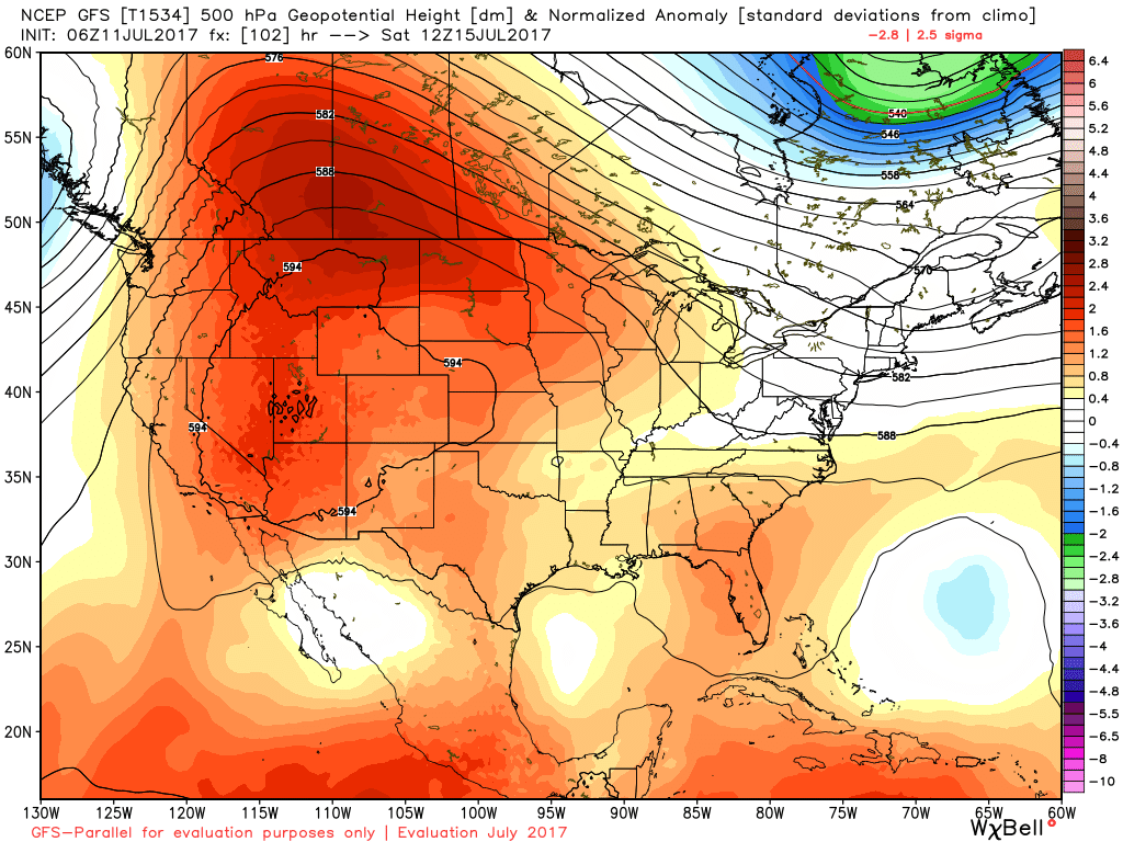
Friday, Saturday, and Sunday
Some high pressure will build beginning Friday, but it does not appear as though this high will be stifling. What this means is that, with moisture levels remaining fairly high, there will still be the potential for at least some scattered showers and thunderstorms during the afternoon and evening hours, especially by Sunday. Most outdoor activities should be fine, but if these storms move in, you should be prepared for some rainfall. Highs will probably be in the low- to mid-90s for most areas.
Next week
With the absence of high pressure, look for this unsettled pattern to continue through Tuesday or Wednesday of next week, with the possibility of rain perhaps a tick or two higher than during the weekend. Higher rain chances mean lower temperatures—and highs in the low 90s in mid-July is nothing to sneeze at. Overall I don’t think accumulations over the next week will be too onerous, perhaps 1 to 3 inches for most areas over several days.
Posted at 7:40am CT on Tuesday by Eric
It’s true – low 90s in mid-June is nothing to sneeze at. The same could be said of mid-July. 😉 But seriously, thank you for your posts! It’s fascinating and refreshing to see meteorlogists be transparent and how and why there are uncertainties in a forecast. I learn a lot from you guys!
Aww man, that’s bad. Fixing now.
I assume you mean mid-July in the Next Week paragraph….
Yes, had to fix that.
I am loving our green, green lawn. 🙂