Summer continues, with a high temperature of 96 degrees on Monday, and more heat ahead. According to the National Weather Service, through Sunday, Houston Intercontinental’s average temperature of 84.1 degrees is 2.8 degrees above normal, and tied for the 3rd warmest such period on record (1st place is 84.8 degrees in 1995). Houston’s Hobby Airport has had its second warmest start to September ever.
But wait, there’s more.
Today
Another hot one. While we can’t rule out some isolated rain showers this afternoon, like we saw on Monday, most of the area will see mostly sunny skies. Temperatures should again rise into the August-like mid-90s. Brutal.
Wednesday
Some drier air will move into the state from the northeast later on Tuesday. While this is technically a “front,” we’re not going to see much of a cool down. But at least there will be a little less humidity for a day or so. Under sunny skies we should see highs in the low 90s, and lows in the lower 70s. Rain chances are near zero.
Thursday and Friday
As high pressure continues to retreat we’ll see a break from the really excessive heat, and should fall back into a late summertime pattern. That means highs around 90 degrees, lows in the mid-70s, and a chance of sea breeze-driven showers during the late morning and afternoon hours. Shouldn’t be too bad.
Saturday and Sunday
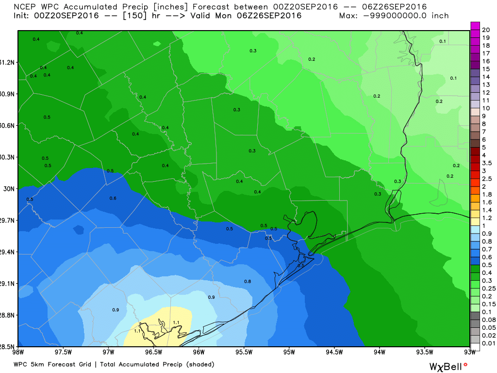
The weekend is still in flux. It appears as though we’re going to see a healthy amount of moisture flowing in from the Gulf of Mexico, but there’s some question as to how much of a forcing there will be to drive that moist air upward, and produce some rain showers and thunderstorms. I think it’s reasonable to expect a good 30 to 50 percent chance of rain, with highs around 90 degrees.

This should not deluge the area, but it has a chance to at least temporarily put a damper on outdoor activities. Highs around 90 degrees. We’ll be closely watching the forecast for this weekend for some clarity.
Beyond Sunday
We’re all anxiously awaiting that first strong cold front, right? Alas the GFS doesn’t bring one through at all during the next two weeks. Meanwhile the European model brings one into Houston in about a week or so. The model has been vacillating back and forth about where next week’s front (a healthy one) stalls out. For example, in Monday’s 12z run it stalled across central Texas, whereas on Tuesday at 00z (the most recent one) the model brought a front all the way through Texas and into the Gulf of Mexico. Bottom line? I’m not ruling out a cold front next Monday or Tuesday, but I’m very far from saying one is likely.
Posted at 6:50am CT on Tuesday
… “EmoGeo” working overtime…
UGH is all I have to say. (Not at you directly, Eric … just the situation.)