In brief: A weak front tonight will bring some slightly drier air into the region, but for the most part this week will be characterized by days in the 80s with plenty of sunshine. Rainfall will remain scarce until the weekend, but a pattern change next week could improve our chances for wet stuff.
A dry spring
It has not rained much this spring. Although some coastal areas have soils characterized as “abnormally dry,” the Houston region is not in a drought. However, I have noticed a few of my neighbors putting out sprinklers of late. I had to double check my calendar to make sure we’re still in April, not June. And sure enough we are. Over the last 30 days, much of the Houston region has received only 25 to 50 percent of their normal rainfall for the year. While everything is still green, for now, the underlying soils in most areas are pretty dry.
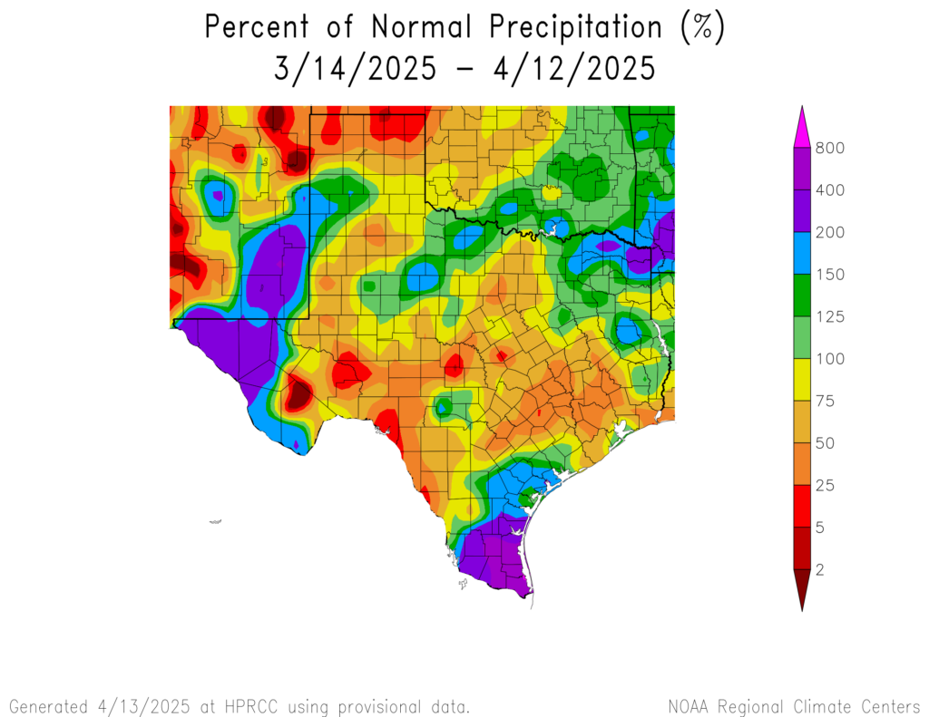
When temperatures are in the 70s it takes a long time for dry soils to turn to parched soils. However, we are now seeing days in the 80s, with the sunshine reaching a higher angle in the sky. Accordingly to stave off drought we are going to need some precipitation. That’s not going to happen for much of this week, but if we look at the longer term forecast, there are some hits of a pattern change this weekend, and next week.
Monday
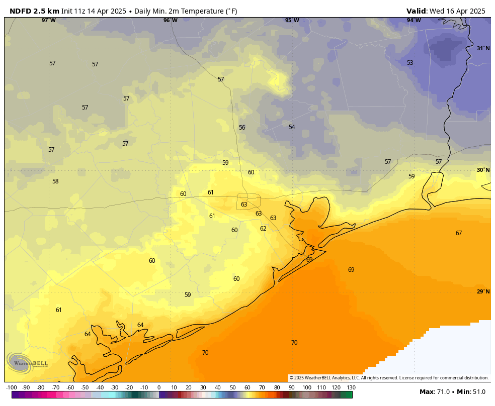
It is a warm morning, with much of the area near 70 degrees. Despite a few low-lying clouds this morning, I still expect mostly sunny skies this afternoon, with high temperatures reaching the mid- to upper-80s. With dewpoints in the lower 60s it will feel moderately humid. Winds will be out of the south at 5 to 10 mph. Expect another mild night, with lows in the 60s. Some time after a midnight, and it likely won’t be perceptible, a weak front will push into the Houston area.
Tuesday and Wednesday
The main effect of this front will be to bring some moderately drier air into the region. So Tuesday, and to some extent Wednesday, will feel a bit less humid. Tuesday may start out mostly cloudy as a result of the front, but I don’t expect much, if any rain with its passage. Expect high temperatures in the mid-80s, with lows on Tuesday night dropping into the low 60s for most of the region (it will be even cooler to the northeast of the city). Wednesday will bring highs in the low- to mid-80s but already winds will be turning to come from the southeast. So by the afternoon on Wednesday I expect humidity levels to be on the rise with fairly robust southeasterly winds.
Thursday and Friday
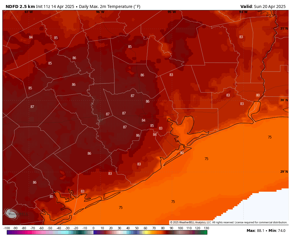
As a result, I expect the end of the week to be partly to mostly sunny, with high temperatures in the upper 80s. Some inland locations may reach 90 degrees. So all in all, pretty warm and humid for April. Lows will only fall to around 70 degrees. There will he the slightest chance of some showers by Friday or so, but most of us should remain dry.
Saturday and Easter Sunday
Saturday should bring more of the same: partly sunny, warm, and humid. Perhaps we’ll see a few stray showers. However at some point this weekend high pressure should shift away, and this will open us up to somewhat better rain chances. For now, I’ll say we have about a one-in-three chance of some showers on Easter Sunday, to go along with warm and humid conditions. It’s difficult to say much more than this with any precision but it’s something we’re watching.
Next week
Most of next weeks looks to remain fairly warm and somewhat humid. Think days in the mid- to upper-80s with nights around 70 degrees, give or take. The big thing I’m watching for is rain chances, especially in the absence of high pressure. The “bear” case is perhaps 1 inch of rain next week, but the “bull” case is several inches. Some of the AI-based weather models are on the bullish side, showing several inches of total rainfall next week. We’ll see. By that point, our soils will be happy for what we can get.

I have slight weather anxiety from the derecho, (its gotten better) but if someone can put my mind at ease not every single weather event that comes thru Houston is going to be severe right? Also how do I stop thinking that every single storm is gonna be all doom and gloom?
Fortunately, most storms that cross the Houston area are not going to be that severe, so you can rest easy on that. However, with a warming climate, the necessary ingredients for severe storms are going to spring up more often. So the odds for severe derecho causing storms will go up a little more in the future, but it is still going to remain a fairly uncommon event for the same specific locations.
It is good to always be in a prepared mindset with an increasingly volatile climate, but there is still no need to panic with every thunderstorm that develops.
Thank you. 🙂
I’ve been dreading it too. Last April was really bad, we had a lot of storm damage, more than once. I’m trying to moderate the nervousness but the body remembers and reacts when you’ve been hit. Biological reaction.
⚘
Hi @Shadow … understood.
Lived in outlying Houston areas for 65+ years, so have dealt with almost all major storms. Harvey dumped 5+ feet of water on our Cypress acreage property (NE Cypress), pretty much lost everything. Harris County bought that property and assisted in recommendations for higher ground.
So we’ve now been in Magnolia (acreage, high and away from possible flood events) and dealt with the Dericho and Beryl. And yea, even though fealt no real threat, there’s still that nervous side effect. It’s natural, so not something unique.
Always have a backup plan and route. We know the less traveled and reliable roads to B/CS, and will stay there, to reduce stress, for any big storms approaching 👍
The one wet year and dry the next pattern continues to prevail in our region. There is no such thing as a happy medium in this climate.
Waiting for a decent downpour here is like a sub 5 guy waiting for a match on Tinder. It isn’t going to happen.
Why do these high pressure systems PARK on top of Texas? They seems to like our part of the country and that usually results in lack of rain and high heat. Is that a pattern issue such as El Nino or La Nina? Or is that just Texas in general? I’m having anxiety when it comes to 2011 months of no rain and 2023 dry spell.
I agree, a dry year is no fun, but I’ll take a high pressure system if it throws off the derechos, tornadoes & hurricanes.