In brief: In today’s post we discuss the region’s slide into summer starting this weekend. However, we are hopeful that Houston will spend an extended period in “early” summer rather than jumping directly into really hot conditions this year. Take the win, y’all!
Phases of summer
If we’re being real, all of summer in Houston is fairly hot and fairly humid. There is no escaping that in a city (located at 29.7 degrees north) that lies not all that far from the tropics and near a large body of warm water. But longtime residents will appreciate that there are different gradations of summer in Houston, which range from somewhat tolerable to utterly miserable. Understanding these different phases may help readers endure the long slog of summer in Houston, which typically runs from late May into mid-October, or nearly five months.
Here are the four phases:
- Early summer: When we first start to see 90-degree temperatures with some regularity, but some nights in the 60s are still possible, and there’s still the thinnest hope of a weak front.
- Mid summer: When highs run from 90 to 95 degrees, and nights are sultry, but you know it could still get worse.
- High summer: Somewhere between late July and early September there’s a period where temperatures reach the upper 90s to low 100s and you realize, “Ok, this really is the worst.”
- Late summer: This is the period in September and early October when days grow shorter and we usually see the first front or two of the season. But most of the time it’s still hot.
The longer Houston can remain in “Early summer” the better. For example, last year Houston hopped right into Mid-summer in the first week of June, with highs in the low- to mid-90s, and even one day with a high of 97 degrees. This year I’m happy to report that we appear likely to ease into summer with a sustained phase of “Early summer.” At this time year, friends, you have to take the small wins in Houston weather where you can. Because in June, July, and August there are very, very few big wins.
Thursday
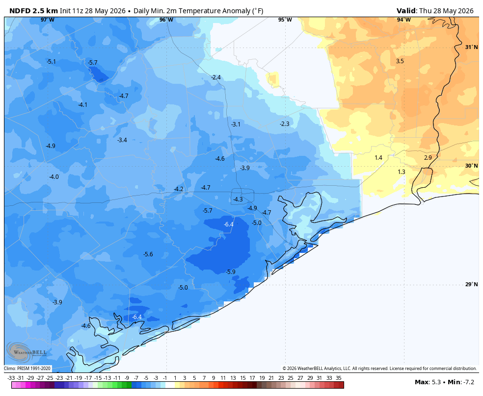
Conditions are reasonably cool this morning for late May, with lows in the upper 60s across most of the region. We are now going to begin a warming trend, however. Highs today will climb into the upper 80s with mostly sunny skies. Winds, also, will be fairly light, from the northwest at about 5 mph. Lows tonight will be a few degrees warmer, likely in the lower 70s for most of the region.
Friday, Saturday, and Sunday
The onshore flow will return with a little more oomph this weekend, and with Houston on the edge of a high pressure system we are likely to see mostly sunny skies. We can probably expect daily highs around 90 degrees, perhaps a shade warmer for inland areas, and a bit cooler near the coast. Dewpoints in the lower 70s are by no means ‘comfortable,’ but they’re still notably lower than we’re likely to see later this summer. This weekend really is the definition of “Early summer,” so as we slide into June take it for what it is. Rain chances are near zero this weekend—we could see a stray shower here or there, but probably not.
Next week
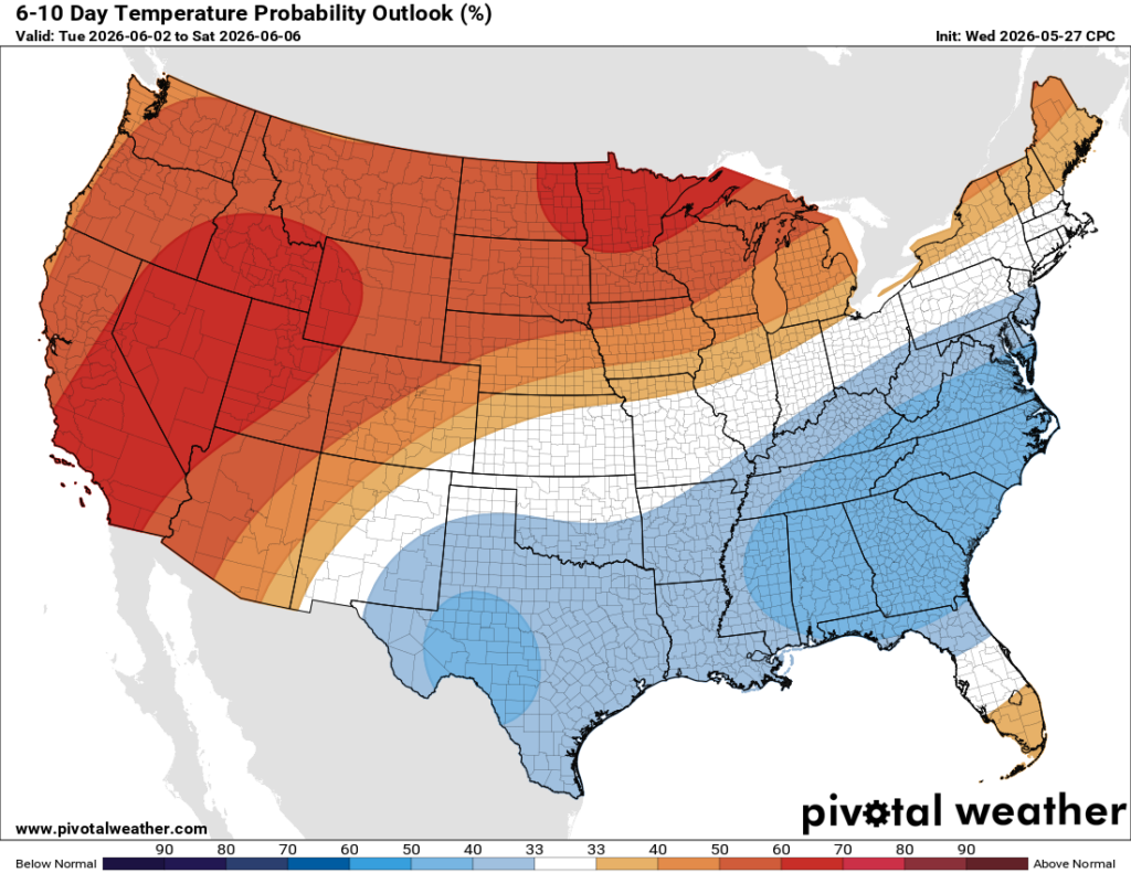
Our temperatures will remain in the vicinity of 90 degrees for most of next week. By Tuesday or Wednesday we start to see a few more clouds and there will be a daily chance for some showers. Said chances won’t be too high, nor do rain accumulations look too serious. But showers could take a degree or two off daily highs. Houston’s weather, dare we say it, looks mild as we get into the first week of June?
