Keep doing whatever it is you’re doing because it’s working. We keep getting extended nice stretches of weather. We are in the midst of one now, and it appears we will have another nice stretch coming to Southeast Texas next week.
Today
This morning is starting off quiet. Watch for perhaps a couple pockets of fog mainly west of the Brazos River. Otherwise, look for decreasing clouds through the morning. The sun will be back out virtually in full by afternoon, and it will be delightful. High temperatures will top off in the 70s, though a bit cooler at the coast.
Weekend
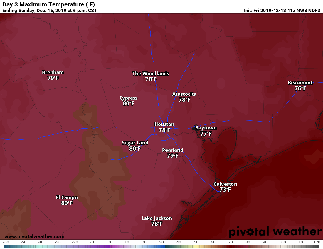
Saturday should be sunny. Sunday should see fair skies but probably a few more clouds. High temperatures will be in the low- to mid-70s on Saturday. Sunday will see onshore flow kick in ahead of our next front, so look for daytime highs to perk up some, possibly approaching 80° in some spots, especially west of Houston.

Morning lows will be in the 40s Saturday morning and mid-50s Sunday morning.
Early next week
Our next cold front (it never gets old saying this) is on the way Monday. While the timing can change, it looks like it will hit Houston in the mid-to-late afternoon. The front will come with scattered showers and thunderstorms but perhaps not the widespread soaking rain we could use. I would anticipate perhaps a quarter-inch of rain, with a few places seeing up to a half-inch or so. We will update you on Monday.
Behind the front, it will turn sharply cooler once more. Look for Monday’s temperatures to start very warm (near 70°), warm into the mid-70s, then crash into the 40s Monday night behind the front.
After the front
Look for another multi-day stretch of cool but sunny weather to follow Monday’s front. Tuesday clears out for sunshine, and that should be with us Wednesday and probably Thursday too. There may be another, weaker front later in the week. Tuesday and Wednesday should see highs in the 50s, while Wednesday and Thursday mornings could very well carry lows in the 30s.
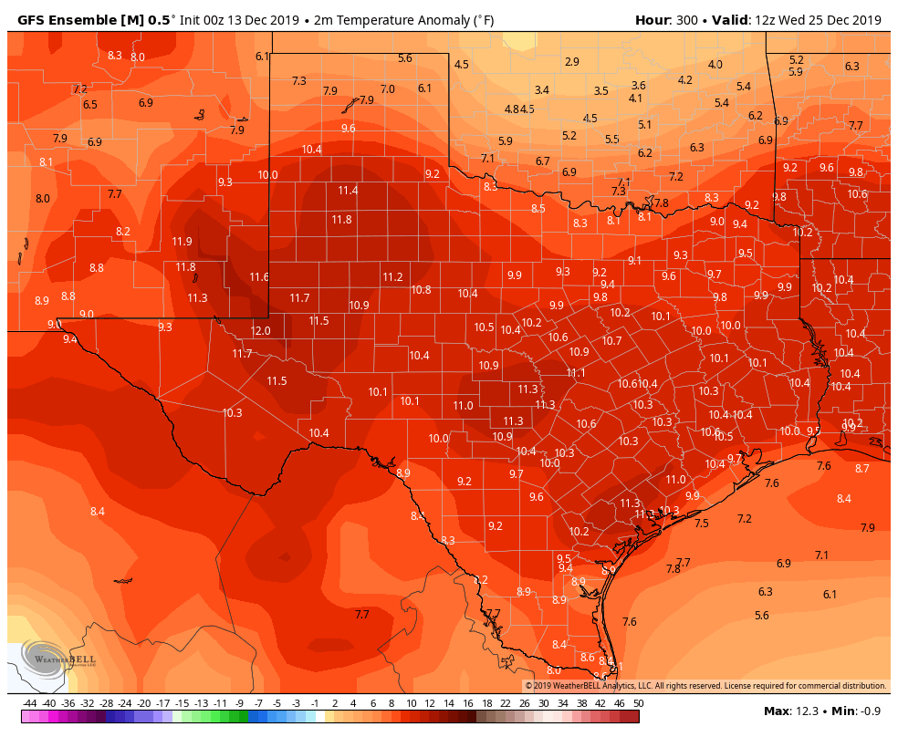
As Eric touched on yesterday, the forecast heading toward Christmas continues to look downright balmy. The last several runs of the European ensemble mean (so the Euro model run 51 times with different initializations) shows high temperatures <squints eyes> 15 to 20 degrees warmer than normal on both Christmas Eve and Christmas Day right now. Even the GFS ensemble mean, which typically runs a bit of a bias that makes it too cool shows temperatures over 10 degrees above normal on Christmas right now.

That implies at least low-70s, if not warmer. We are 12 days from Christmas, and if we’re being true to the science, we will advise you that things can and will change. But sitting here today, I probably couldn’t forecast anything cooler than 70° on Christmas Eve or Christmas Day. We will keep you posted along the way next week.
SCW on social media
I just wanted to offer a reminder that you can also follow Space City Weather on social media. For those of you on Instagram, we are going to be expanding our content. In addition to our daily post with a map or forecast synopsis, we are going to begin doing a daily story with a quick, simple forecast synopsis. So be on the lookout for that!
Facebook
Twitter (@SpaceCityWx, primarily run by Eric)
Twitter (@mattlanza, for weather, generally bad sports takes, and dad jokes)
Instagram

Just cancel Christmas already – sounds like we will be sweating and swatting mosquitoes again on Christmas morning. How utterly disappointing.
Yeaaaaaaa!!!!! We will be able to play outside on Christmas day without being buried in clothes!!!!
“Buried in clothes!!!” I’ve worn nothing more than a very light jacket in the mornings so far. I’m still wearing shorts and t-shirts on the weekends. Heatophiles act like they’re in upstate New York as soon as the cold fronts hit.
What will the weatger be in austin texas
It hasn’t been too bad but it does get tiresome having these days that drop from 70 to 40 degrees.
Hoo-ray! One of the best things about living in Houston is wearing shorts Christmas morning. Ya’ll want cold? Might I suggest Pittsburgh, PA.