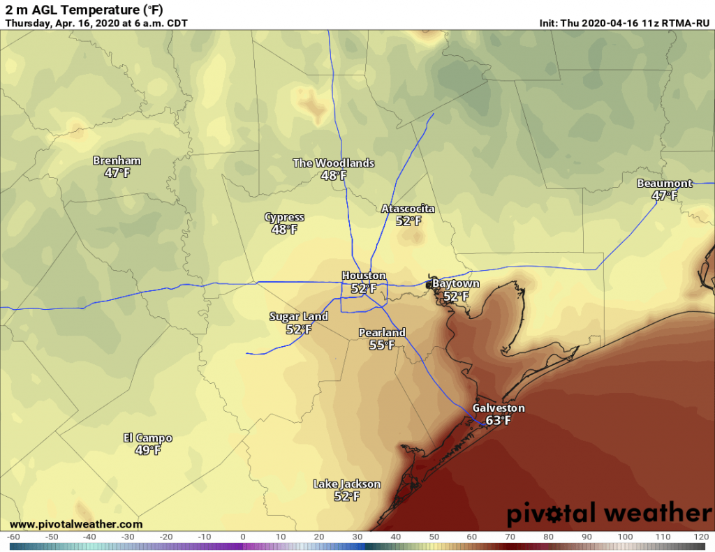
Our last really cool morning of the week—of the spring?—has brought a range of temperatures from the mid-40s up north in Montgomery County down to around 60 degrees right along the coast. The air is pleasant, dry, and cool. Alas, it will not last, with a warming trend heading into the weekend, and then the likelihood of showers for both Saturday and Sunday.

Thursday
Today will be mostly sunny, with high temperatures warming into the mid-70s. However, as light winds slide from the northeast to the southeast, we should see a slow and gradual rise in humidity heading into the evening. This should also begin to generate a few clouds later this afternoon, and more over night. Lows tonight should be about 10 degrees warmer than Wednesday night.
Friday
Skies should be mostly cloudy on Friday, with high temperatures pushing up to around 80 degrees, or a little warmer. Some light rain showers will be possible during the afternoon and evening hours as a weak front limps toward the region, and dies out over the city. Lows Friday night will vary widely across the region. It’s likely that College Station will see lows drop into the 50s, behind the front, whereas central and southern parts of Houston are in the 60s or possibly even low 70s.
Saturday
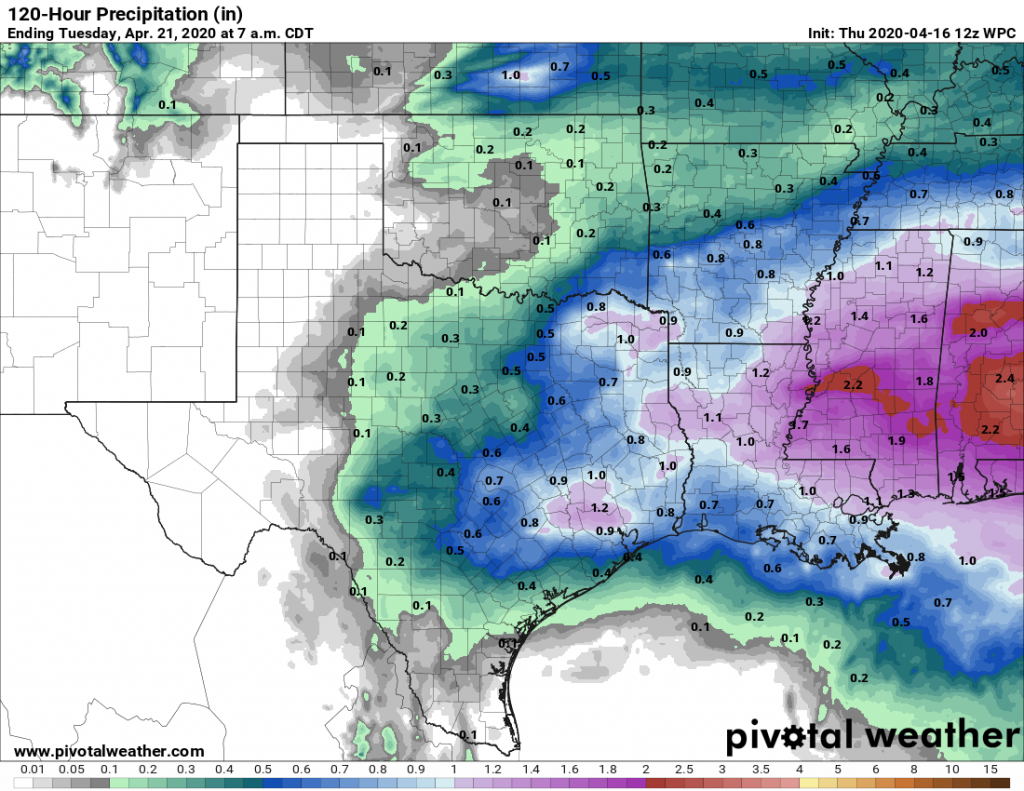
Saturday will see high temperatures somewhere in the upper 70s, and while the “front” pulls back north an upper-level storm system will push in from the southwest. This system will have the potential to produce some thunderstorms, and some areas will probably see 1 inch or more of rainfall. But the majority of Houston will likely receive 0.5 inch or less, primarily during the daytime. Rain chances will slacken, but not entirely diminish overnight.

Sunday
This will be another wet day. The focus for rainfall on Sunday will likely be over central and northern regions of Houston, away from the coast. Again we’ll have to watch for the potential of some severe thunderstorms, but conditions are not ideal for stronger storms to form. Highs will likely get into the 80s under mostly cloudy skies.
Next week
A moderate cool front, originating from the Pacific rather than Canada, will push through later on Sunday, clearing our skies and bringing some drier air. This should make for a couple of days with highs just above 80 degrees, and lows in the 60s, and lower humidity. Another round of rainfall and storms are possible next Wednesday, although it’s hard to have any confidence in details at this point.

It was sad to see our week of Spring come and go so fast…
Sh#$%$t
Yesterday was very nice, today seems nice too. From my reading of the forecast the weekend doesn’t sound “wet,” more like scattered showers, with the amounts of rain variable.