In brief: Those gray skies are running out of time, Houston. We expect showers or light rain at times today with brightening skies on Saturday. The sun should return in all its glory on Sunday, with warmer temps, followed by a brief cooldown early next week. We return to 70 or so by mid to late next week.
Sorry for the delayed post this morning; I had a donuts morning with one of my kids, and while I love our audience, I also love donuts. Because, warm Shipley donuts. So, apologies, but surely you’ll understand.
It’s been a bit of dreary week, starting off on a cold, damp note, followed by a chilly Tuesday, a graying Wednesday, a damp Thursday, and now a cold, damp Friday. Thankfully, if you need a dose of sun in your life, you’ll be getting one soon.
Today
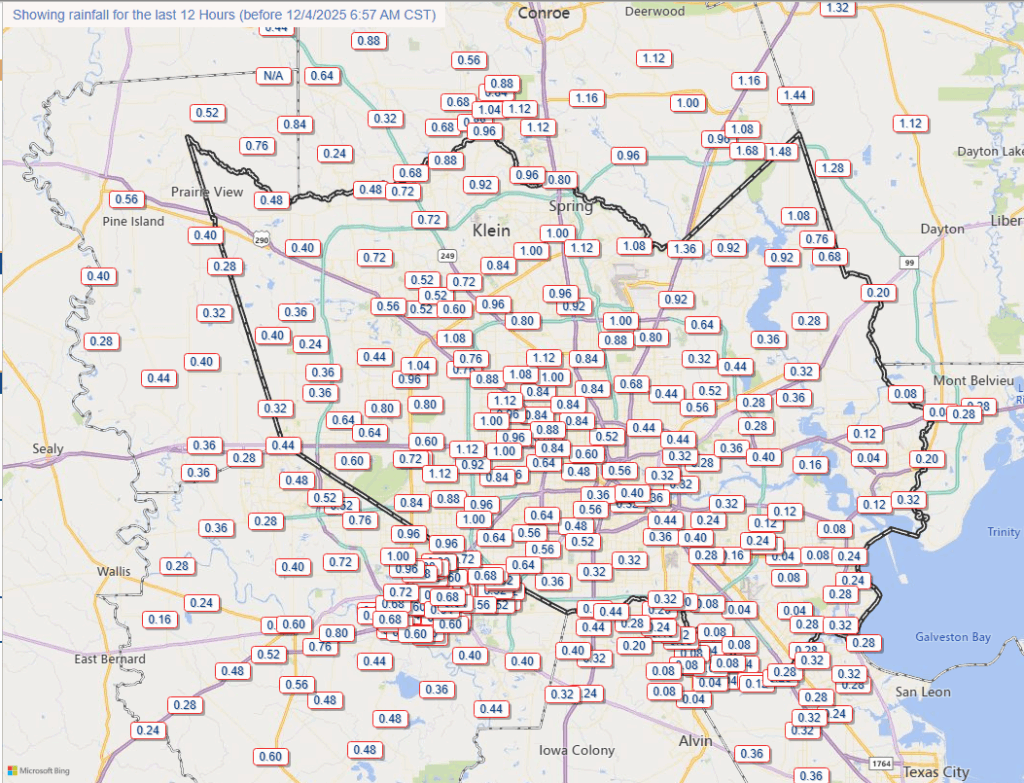
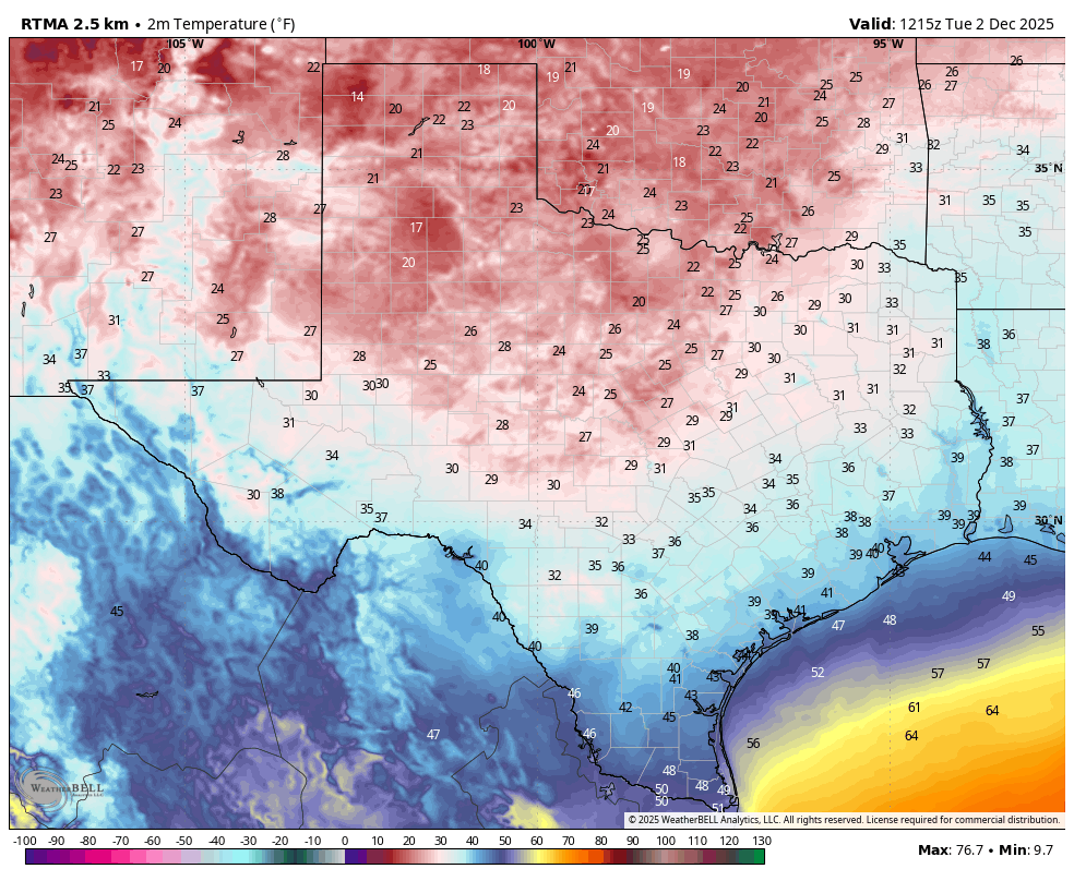
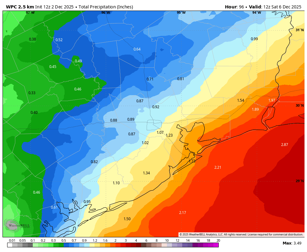
Dreary is the operative word. Though, I will say I saw blue sky poking through the overcast earlier. I’m not optimistic today though. Look for occasional light rain, drizzle, or passing showers in most of the area. Coastal areas today may see a steadier rain at times. Temps don’t budge a whole lot. We’re starting in the 40s and perhaps we’ll push 50 degrees in spots, especially south of Houston this afternoon. Generally, rain totals will be a tenth of an inch or less in most spots.
Saturday
Showers may linger through the overnight hours and into early Saturday morning. Most of the rain will end. We should see some brightening skies Saturday afternoon as well. If we get sunshine, we may push into the mid-60s. If we stay cloudy, we’ll maybe sneak above 60 degrees or so.
Sunday
We finally unstick this pattern Sunday. I would expect decreasing clouds, increasing sunshine, highs a bit warmer, in the upper-60s to low-70s (after morning lows in the 40s and 50s), and just an overall nicer day. Winds could become a bit gusty at times later Sunday or Sunday evening as a reinforcing dry cold front pushes in.
Monday & Tuesday
Back to cooler weather but with sunshine!

Morning lows will be in the 40s on Monday and 30s and 40s on Tuesday, followed by highs in the 50s to near 60 Monday and perhaps a bit warmer Tuesday.
Later next week
A warmer pattern establishes after Tuesday, with highs probably in the 70s on Wednesday and staying around 70 or so through next weekend.

Morning lows should creep back into the 50s and eventually the 60s. I would not be shocked to see some sea fog emerge at some point by next weekend. At this point, rain chances are mostly absent after this weekend, with the next hint in models holding off until at least next Sunday or Monday. Milder weather is probably going to linger a bit longer with the brunt of any cold directed into the Eastern U.S. over the next 10 days or so. We’ll see if that can change late in the week of the 15th.