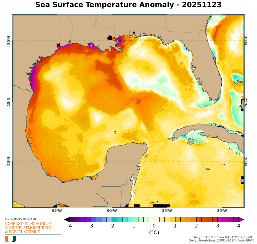
In brief: In today’s post we look ahead to resplendent weather for the holiday, to be followed by brief warm-up this weekend before widespread showers and couple of shots of colder air. Parts of Houston may hit the 30s later next week.
Happy Thanksgiving!
Good morning, everyone. Just a relatively short post this morning due to the holiday—the Berger household has been up since 5:30 am working on smoking turkeys—but I wanted to share the latest on a fairly dynamic forecast. Fortunately we’re not looking at any serious storms, but there is a healthy chance of rain this weekend, and then conditions turn quite a bit colder next weekend. So with this post we are going to hit the high notes.
Thanksgiving Day
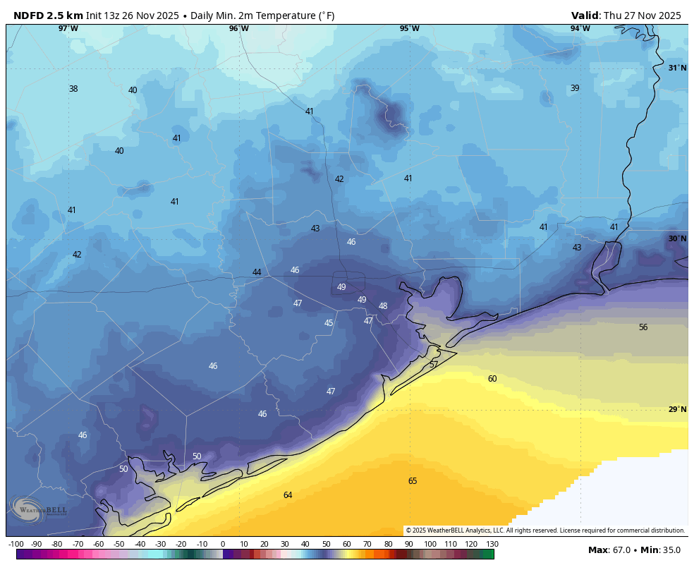
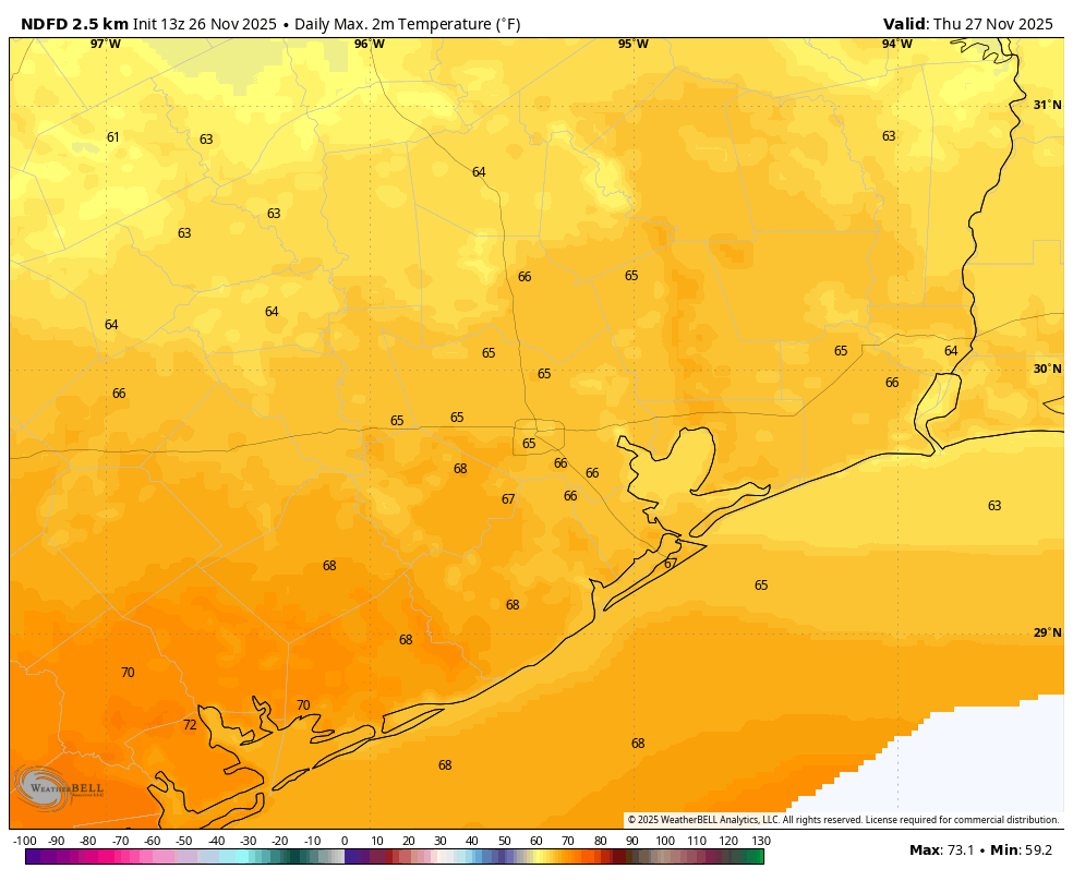
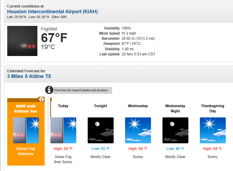
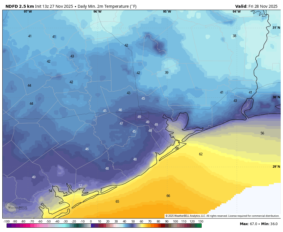
As we’ve been saying for awhile now, weather today will be ideal for the holiday. This morning’s low temperature of 48 degrees at Bush Intercontinental Airport was bang-on for the normal temperature for this time of year and today’s highs in the mid- to upper-60s will be typical for this time in November (normal high, 69 degrees). When you add in sunny skies, low humidity, and light winds, we have just exceptionally fine weather for a holiday. Lows tonight will probably be a couple of degrees cooler than Wednesday night. Think low-40s north of Houston, and upper 40s in Houston and further south.
Friday
This will be a transition day, with partly sunny skies and highs in the upper 60s. Winds will shift to come from the east-southeast, gusting up to 20 mph, or perhaps a bit higher. Lows Friday night will only drop to around 60 degrees.
Saturday
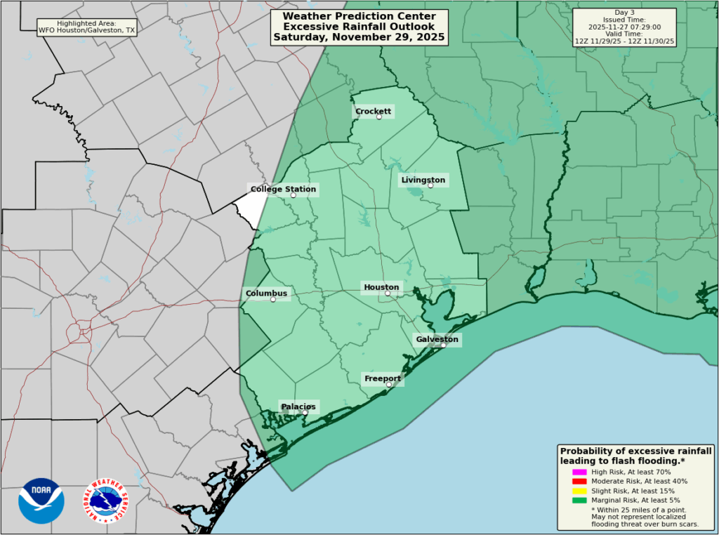
The first half of the weekend will see rising temperatures, into the mid-70s, along with much more humid air. I think Saturday morning will be mostly rain-free, with only some light showers as an exception. However, later in the day rain chances increase with the advance of a cold front. The best chances will occur later on Saturday evening and overnight when the front pushes through. I’m hesitant to predict accumulations, but at this time I expect most of the area to pick up 0.5 to 1.5 inches of rain. There is a slight risk of excessive rainfall, but given the overall dryness of our soils I’m not too concerned about flooding.
Sunday
This will be a chilly day, with leaden skies. Highs probably will not rise out of the upper 50s. Some rain chances will linger, but for the most part I just expect gray skies. Lows on Sunday night will probably drop into the 40s.
Next week
Monday should bring another shot of rainfall as what looks to be a reinforcing front moves in. As a result the first day of December looks to be a dreary affair, with highs perhaps topping out in the low 50s. We’ll see our lowest temperatures next week, possibly in the 30s for parts of Houston, on Tuesday, Wednesday, and/or Thursday mornings. At this point most of our available evidence points toward temperatures remaining above freezing in the metro area, but we’re going to keep an eye on things.
Have a great holiday, everyone!
Fundraiser
We have come to the final days of our annual fundraiser, but the curtain has not dropped yet. There is still time to support our efforts for the coming year, and you can do so by purchasing merchandise or making a donation here. Thank you so very, very much.