In brief: Today’s update discusses the increasingly busy Atlantic tropics, but also explains why the threat of a hurricane striking Texas this year is falling rapidly. We also detail a weak front moving into the region today, and how that will bring us fine, dry weather for awhile after this morning.
Hurricane season heats up, but what of Texas?
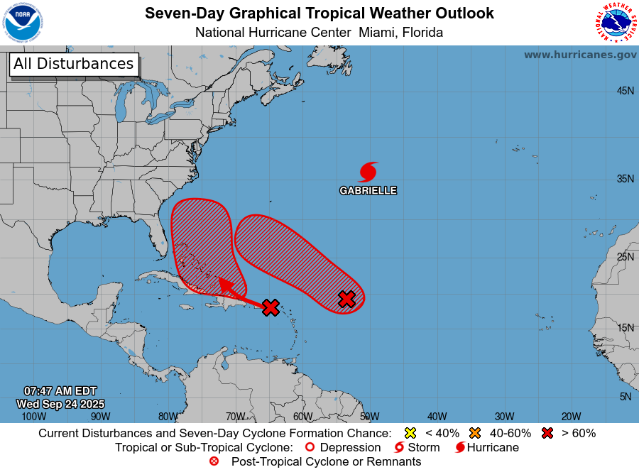
After a quiescent period in late August and for much of September, the Atlantic tropics have woken up. We have seen Hurricane Gabrielle blow up into a major hurricane (far from land), we have newly formed Tropical Storm Humberto (which could threaten Bermuda early next week as a large hurricane), and Invest 94L, which is likely to develop near the Bahamas during the next couple of days. The latter storm will be worth watching for the United States, from Florida up the East Coast, although there remains a lot of uncertainty. We will have comprehensive, ongoing coverage on The Eyewall.
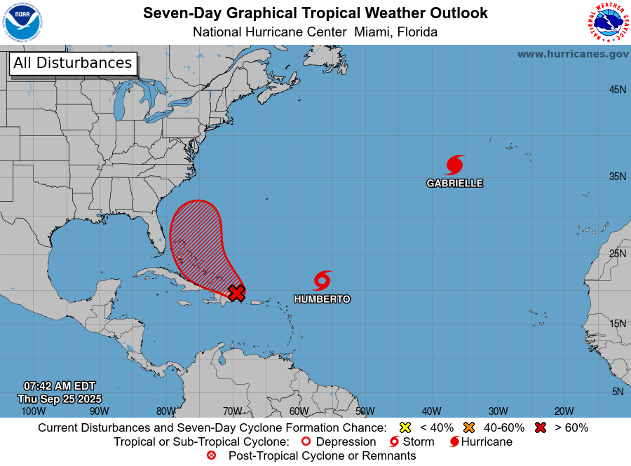
But what of the Gulf, and Texas? It has been an exceptionally quiet season for the state in terms of direct impacts from tropical storms and hurricanes. And looking ahead over the next 10 days, although there may be some tropical mischief in the Bay of Campeche, it is difficult to see anything too organized forming and moving north into Texas. We have reached the time of year when it becomes incredibly rare—although to be clear, not impossible—for a hurricane to strike the state during the remainder of the Atlantic hurricane season. Therefore we can say, with some confidence, that the 2025 hurricane season is probably over for Texas.
So what does this mean? It means that the odds of a hurricane striking the state are now less than 1-in-50 for the remainder of the year. It means that we still might see rains or moderate winds from a tropical disturbance or storm. The tropics don’t immediately shut off. But overall, the prevailing pattern will be one that steers storms away from Texas.
Thursday
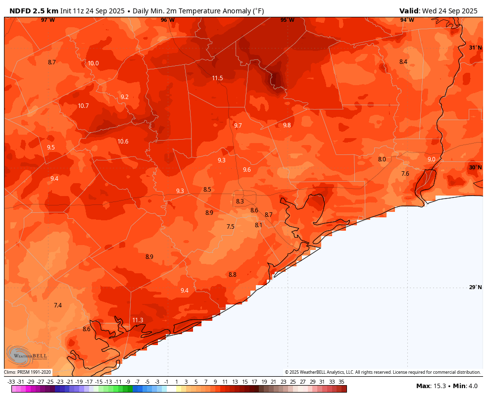
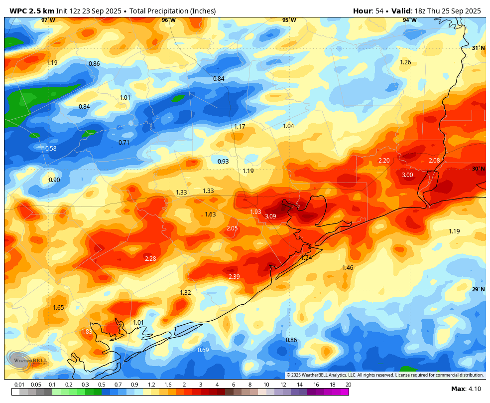
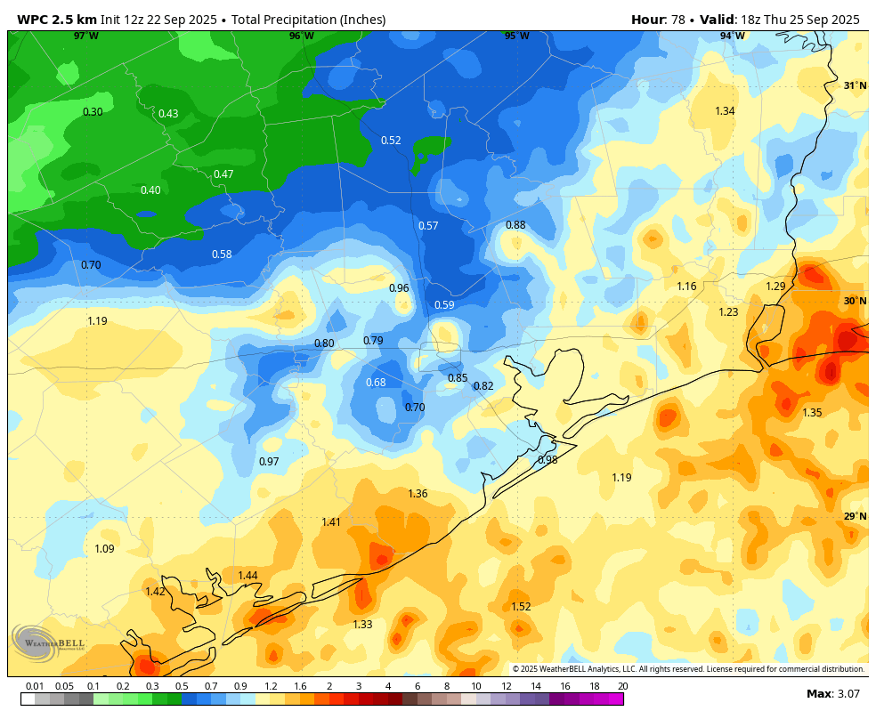
Mother Nature is presently authoring a tale of two cities right now. For northern areas of our region, drier air is already filtering in, with some locations in Montgomery County enjoying dewpoints in the 60s. For areas closer to the coast, in places such as League City and Santa Fe, there are ongoing showers as the rains work their way slowly to the southeast.
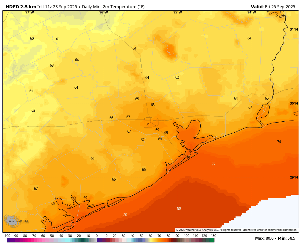
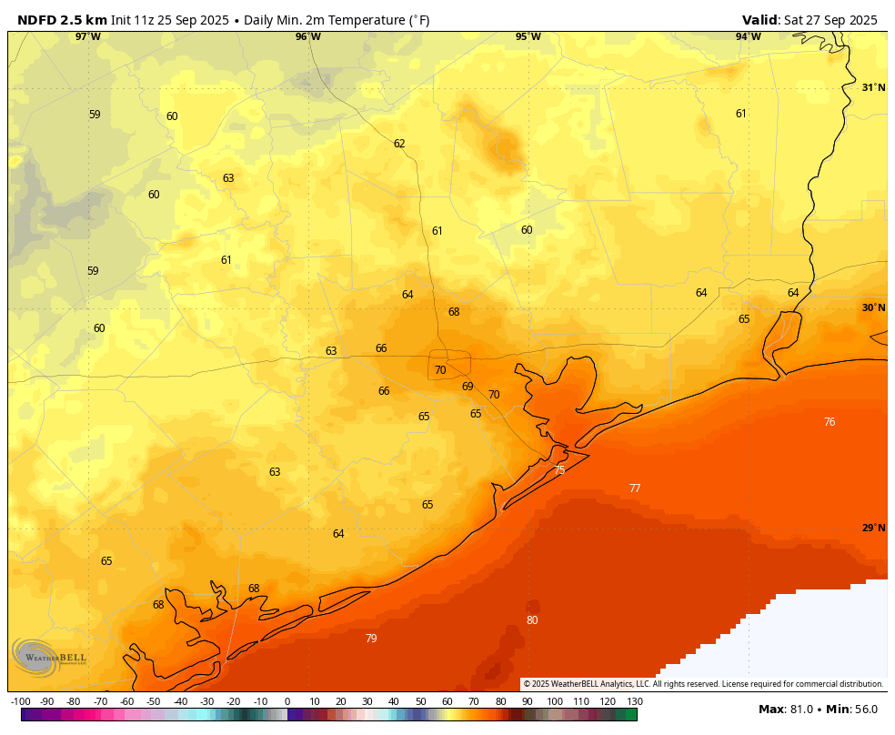
Overall the pattern today will be one in which drier air slowly moves in from the north, pushing the warmer, more humid airmass and its rains offshore. As a result most of the region should see mostly sunny skies later today, with highs in the mid- to upper-80s. Winds will be generally light, from the northwest at 5 to 10 mph. Low temperatures tonight will fall into the upper 60s for much of Houston, with cooler lows further inland, and the coast remaining in the lower 70s.
Friday, Saturday, and Sunday
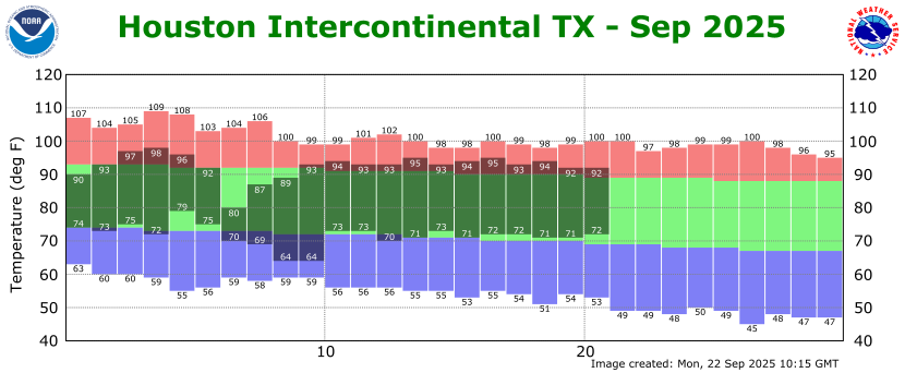
Our forecast for the weekend is one of high confidence. We will see three sunny days with high temperatures generally in the upper 80s, with nights falling into the upper 60s for most of Houston, with cooler conditions further inland and warmer ones closer to the coast. With dewpoints in the 50s and 60s the air will feel fairly dry, and mornings and evenings should feel especially fine. It’s not exactly fall like, but after a long hot summer, it’s going to feel great.
Next week
In all likelihood not much is going to change next week. We are going to see highs around 90 degrees, lows around 70, with slightly higher humidity levels by Wednesday or so. Overall rain chances, after this morning, appear to be quite low until at least next weekend.