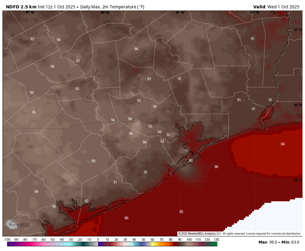
In brief: Today’s post discusses the subtle change in our weather pattern that will control our region’s conditions over the next week or so. Houston is still going to be warm, but not sizzling hot. Rain chances return to the forecast, but overall they remain fairly low. And when are we getting the next front?
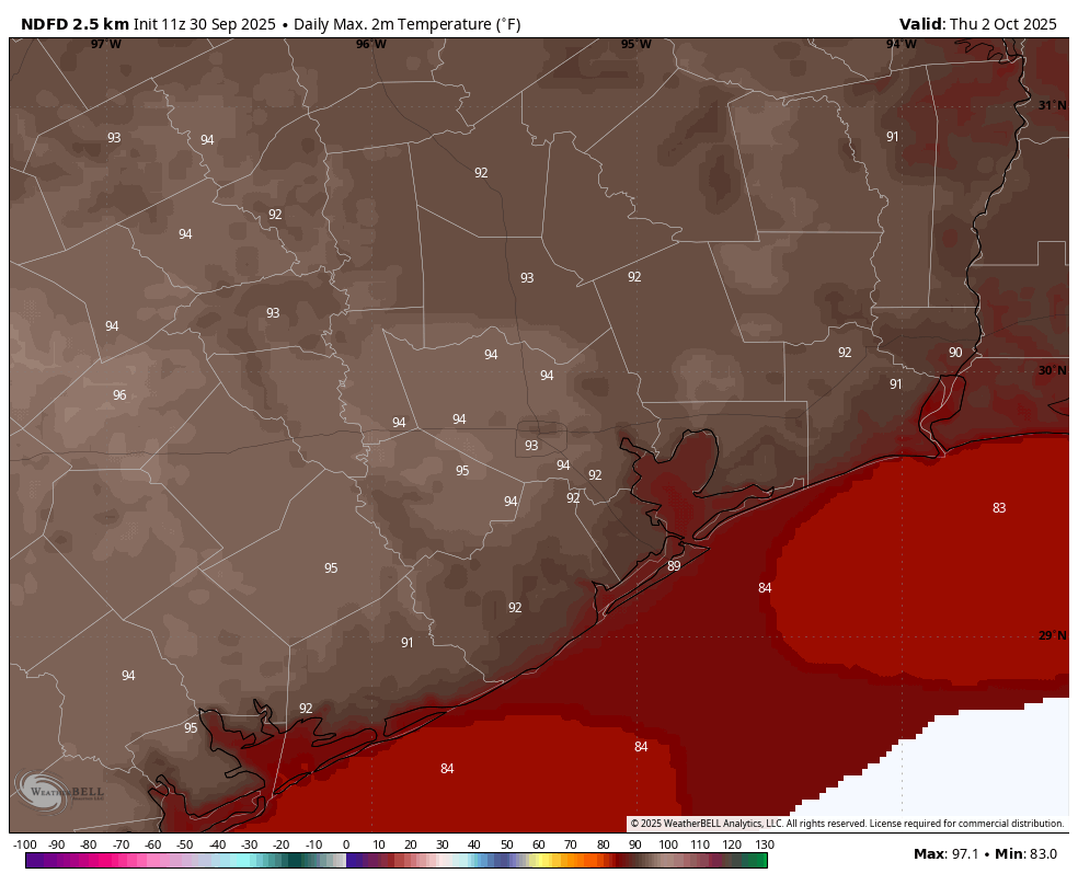
A little cooler, a little more humid
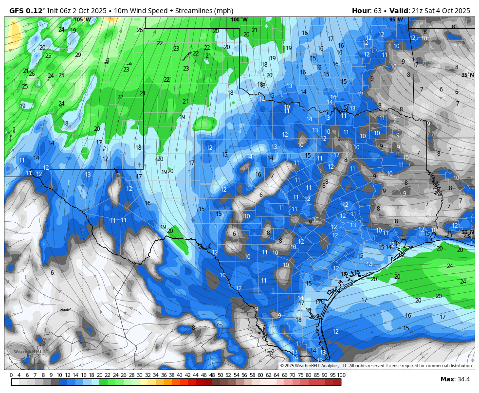
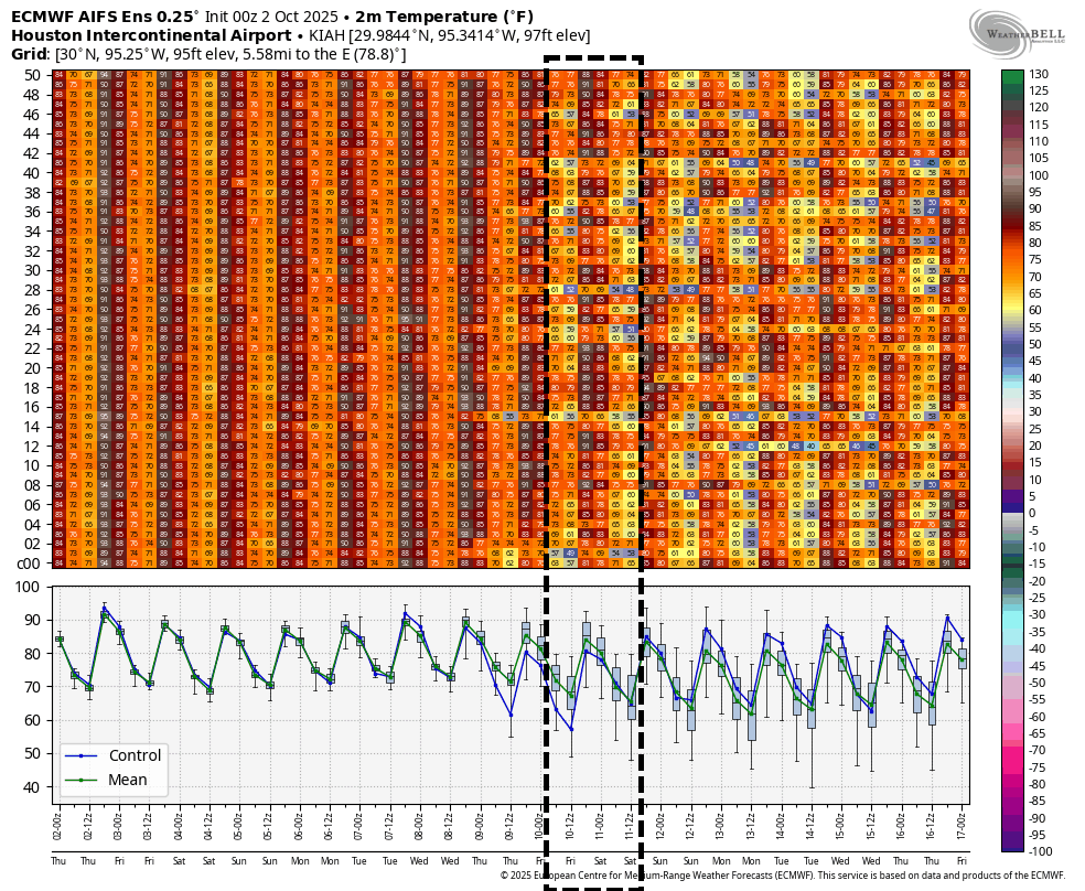
After today, Houston’s flow will become more easterly in response to a trough of low pressure offshore. This will mean an increase in winds, perhaps gusting up to 20 mph or higher during the afternoon. In recent weeks the daily winds have been quite a bit less than this for the most part. We are also going to see dewpoints rise from about 60 degrees during the afternoon to the upper 60s (at least) by this weekend, and this will make afternoon temperatures feel more humid.
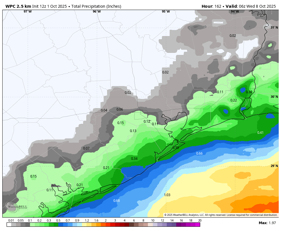
However this increase in atmospheric moisture will cause daily highs to be a few degrees cooler, and produce a few more clouds. By Friday we should see the possibility of some light showers returning to the forecast, but overall chances will still only be on the order of 20 percent. We will remain in this new pattern for about a week, at least, before the chance of a front to shake things up.
Thursday
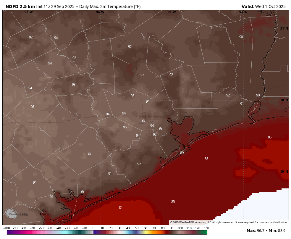
As mentioned today will be a little bit hotter, with sunny skies, modestly drier air, and northeast winds. Highs will be in the lower 90s in Houston, with mid-90s possible to the west (and possibly north) of the city. Rain chances are near zero. Lows tonight will drop into the low- to mid-70s.
Friday, Saturday, and Sunday
With a more easterly flow in place, these will be more humid days, with highs in the upper 80s to lower 90s. There will be a few clouds, and a slight chance of some afternoon showers. Winds may also turn a bit gusty from the east-southeast, up to 20 or 25 mph.
Next week
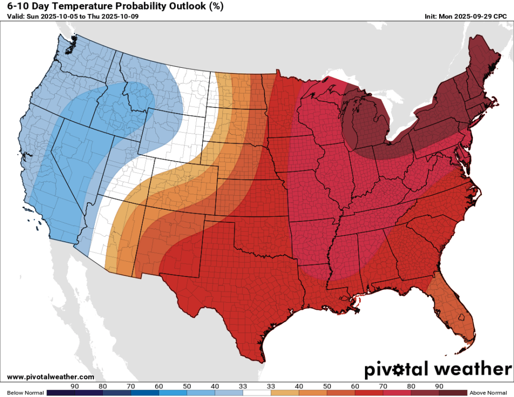
The pattern for this weekend more or less remains the same for the remainder of the coming work week. If you squint at the ensemble models there appears to be a decent chance for some kind of front by Thursday or Friday of next week, with the AI version of the European model among the more bullish solutions. At this point I’d lay odds of 30 to 50 percent of seeing a cooler and significantly less humid turn in our weather by next weekend. So at this point it is something to hope for, rather than bank on.