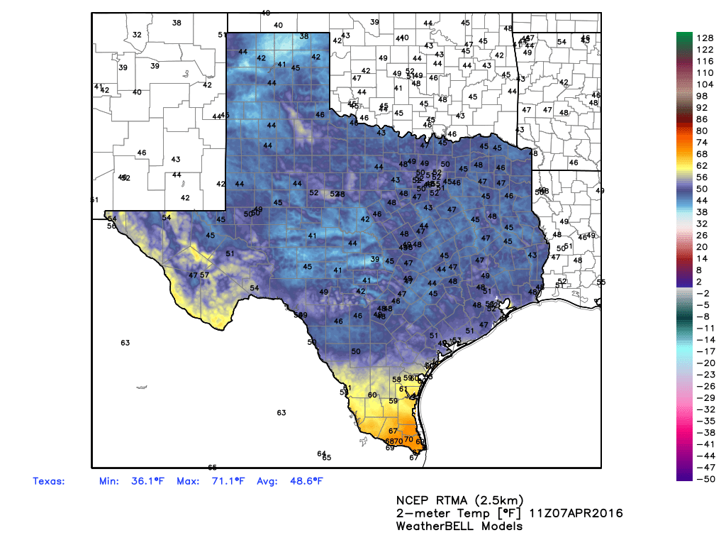
Good morning, it’s pleasantly cool out this morning, with low temperatures falling to around 50 degrees for most of the area in the wake of a cool front that moved into Houston on Wednesday.
TODAY
We’re now set up for three really nice days of spring-like weather. Today, with ample dry air and clear skies,we could see temperatures climb all the way into the low-80s, but we’ll still see a cool nights in the mid- to upper-50s as temperatures fall with the sunset.

FRIDAY and SATURDAY
A reinforcing shot of drier and moderately cooler air should arrive Thursday night, keeping highs on Friday and Saturday in the upper 70s under partly to mostly sunny skies. Lows on both mornings should fall into the upper 50s. The only concern is the potential for gusting southerly winds on Saturday afternoon.
SUNDAY
This will be a transition day. As southerly winds continue, perhaps gusting above 25 mph, we’ll see the return of moisture, making for warmer overnight temperatures and bringing back a slight chance of rain on Sunday afternoon and evening.
MONDAY and TUESDAY
With moisture returning to the area we’ll see better rain chances on Monday and Tuesday ahead of a cold front, which should reach Houston sometime during the middle of the day on Tuesday.
WEDNESDAY
An atmospheric model disturbance crossing the area on Wednesday and Wednesday night appears to offer the region its best chance of heavy rain in awhile. Although it’s a long way out, I’d say 1 to 2 inches of rain might be possible from this system. I’ll be watching it closely because we do need the rain.
MS-150
The long-range outlook continues to show fairly mild conditions for the bike ride, but it’s a little too early to hazard a guess as far as winds. Right now I’d bet against a head wind, however.