Well, that was quite a morning. Not everyone saw severe weather in addition to a line of strong storms that moved through Houston, but there were at least three parts of the Houston metro area that sustained damage from winds and tornadoes. The National Weather Service says it is sending survey teams to look at the following areas for tornado damage:
- Richmond/Rosenberg/Stafford: Structural damage to homes and offices
- Wharton/El Campo: Damage to roofs and some fences
- Van Vleck/Sweeney: Major home damage
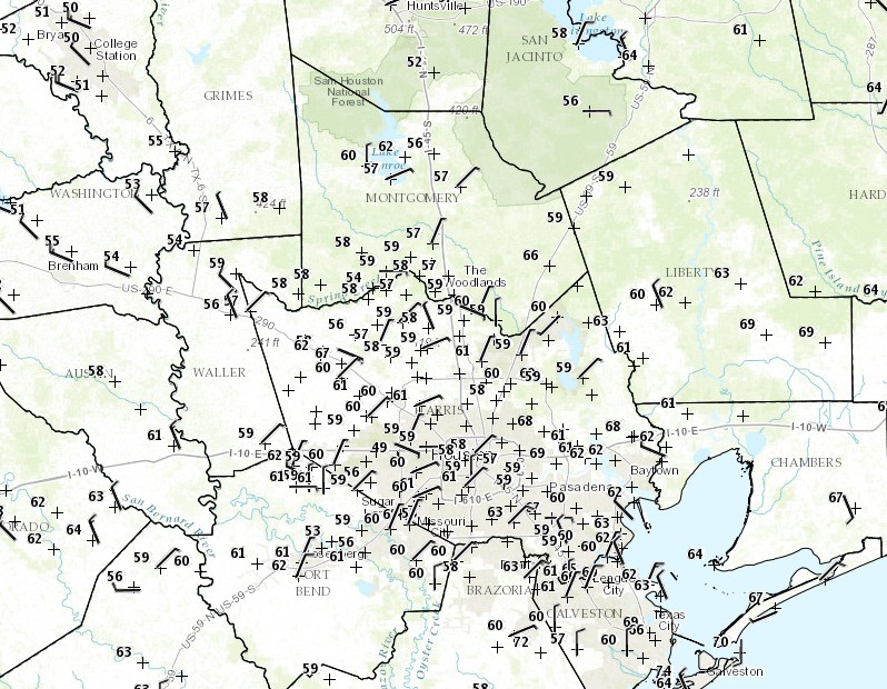
As of 11:30am CT the storms had moved well to the east of Houston, skies were clearing, and temperatures were falling with the passage of a cold front that precipitated this morning’s storms. Temperatures near College Station were falling into the low 50s and the entire Houston area had sunk down to around 60 degrees.
This is the beginning of a cooler period that will last through about Friday morning. For much of the Houston area this will probably be one our last chances for nighttime temperatures in the 40s this season, so savor the cooler weather while it lasts.
(Space City Weather is sponsored this month by Darrell Lee’s The Gravitational Leap)
Posted at 11:55am CT on Tuesday by Eric
It certainly didn’t turn out to be the apocalyptic event the morning TV weather guys made it out to be.
Eric, you may want to take a look at the 18Z GFS model run. If it verifies, we could be in for a significant flooding event—up to 16 inches of rain (Gulp). Better blog on that soon.
…question for you guys…I get this alert on my cell phone, “Extreme Threat Alert”…the alert says, “Tornado Warning in this area til 9:15 AM CST. Take shelter now. Check local media. NWS” The “Take shelter now” kinda got my attention…so I did check TV…after “riding” for 15 or so minutes with this reporter in a vehicle driving on a rainy freeway watching windshield wiper an tail lights and listening to his useless commentary, and then even channel surfing a bit I was glad I didn’t spend that time in our hall closet…the “hype” at least made me check the closet to see if we would fit…wonder what the NWS really means when they say “take shelter now in this area”
It means there is a tornado warning in effect for a general area, say a box about 10 miles by 20 miles. There is actually a tornado about 50 percent of the time in a warned area, and even then it is likely to affect only a small part of the warned area. Unfortunately forecasting cannot be any more precise at this time, so for most residents it is a “false positive.”
Where is the alert coming from? They just upgraded my phone at work and now I am getting the same thing. IMHO too general to be useful. Our lightning detector at work is more specific, but I certainly can’t afford an industrial one for home.