Yesterday I was driving down Interstate 45 near Clear Lake. Within the span of two exits I went from full sunshine, to light rain, to some of the biggest rain drops I have ever seen. It was as if five of these raindrops hit my windshield, and it was covered with rain. And you know what? This is how summer goes in Houston when there’s not smothering high pressure to keep the tropical rain showers away.
Thursday and Friday
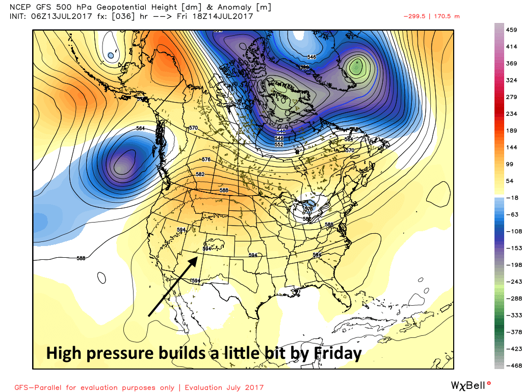
Houston will lie near the edge of a high pressure system to end the work week, so we’re likely to see some decrease in shower activity. However, I still expect some isolated to scattered activity, with the potential for some localized heavy rain. With mostly sunny skies, expect high temperatures in the mid-90s.

Saturday and Sunday
Lower pressure will seep in from the Gulf of Mexico by this weekend, and this should increase rain chances. This pattern will be more or less like what the region saw a few days ago—partly to mostly sunny skies for part of Houston, while other areas see dark threatening skies, and still other parts see moderate to heavy rainfall. All told, I’d expect most of Houston to pick up around 1 inch of rain this weekend, but there will be some areas that pick up quite a bit more than that (nothing too threatening, however), and some regions that stay dry. Temperatures will depend upon the extent of cloud cover.
Monday through Wednesday
Right now, I’m anticipating conditions a lot like the weekend to start next week, but because most of the region should see mostly cloudy skies during the daytime, I’m anticipating slightly lower high temperatures around 90 degrees.
Thursday and beyond
High pressure will probably finally begin to assert some control during the second half of next week, and mostly sunny skies should drive temperatures into the mid-90s, and significantly lower rain chances.
Posted at 7:20am CT on Thursday by Eric
