Did you miss the heat?
Houston has had a long, slow slide into summer this year, only reaching the 90s this week, and with wet soils helping to keep a lid on temperatures. That all changes. Now.
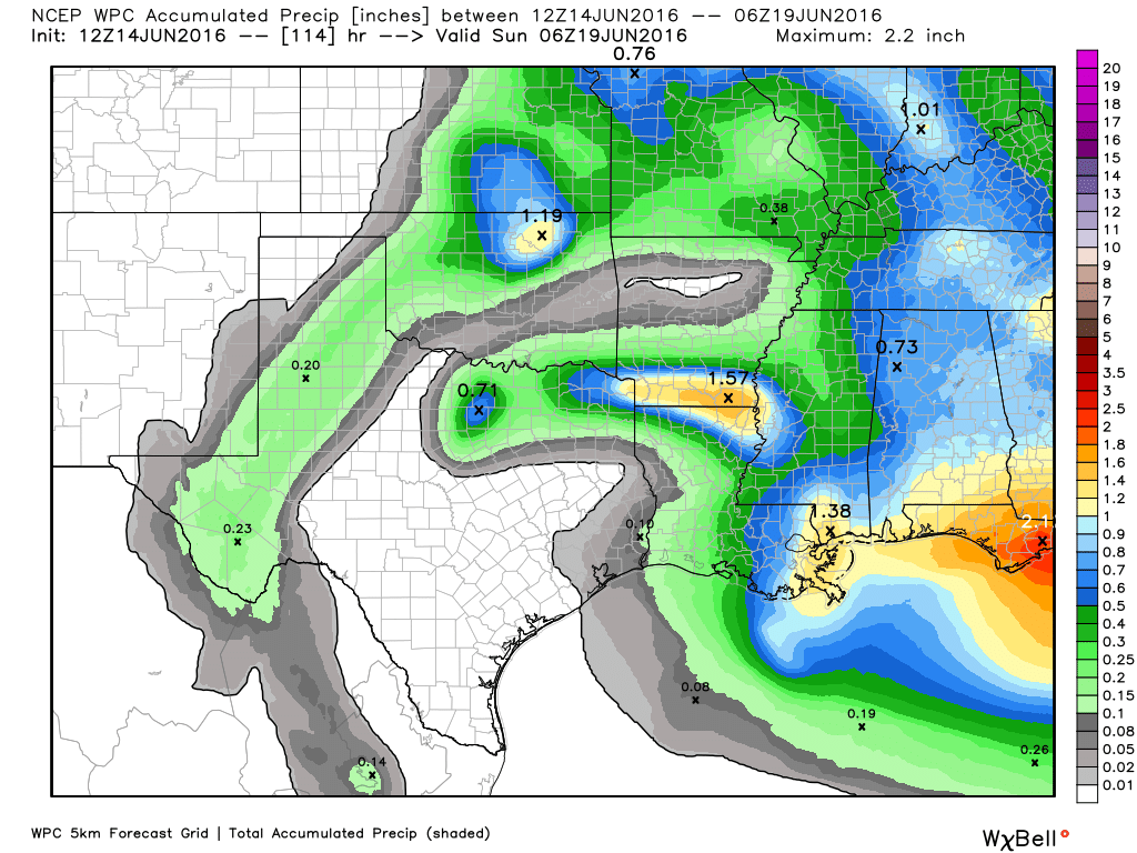
High pressure will begin building over the region today, and while we can’t entirely rule out a few isolated thunderstorms, I wouldn’t expect to see much rain over the metro area. Instead we’re going to see partly to mostly sunny skies and lots of heat. With highs likely climbing into the mid-90s today through Saturday, the National Weather Service has issued a special statement warning of elevated heat indices, from 100 to 107 degrees when factoring in humidity. Lows will only fall into the upper 70s to around 80 degrees. This is absolutely typical summertime weather in Houston.

This pattern will more or less hold until around Sunday, when forecast models indicate the high pressure will move off a bit, allowing for at least some slight to moderate rain chances and possibly pushing temperatures back into the low 90s. Bottom line: We’re here, folks. Welcome to the dog days of summer.
Could you do a short piece on the meaning of the heat index? It seems to me the whole purpose of such a reference is that we don’t know what a particular temperature feels like unless we factor in the humidity, yet it’s presented as degrees Fahrenheit without any reference to humidity. Like. ” it’s 97 degrees but the humidity makes it feel like 107 degrees.” 107 at what humidity? They don’t say, and that defeats the whole purpose. The idea is that we don’t know what 107 feels like, but they leave out an important part of the equation, and nobody seems to notice.
Great suggestion, thanks!
Finally, some heat, and the reason I moved here.
Dear Outdoors,
It was fun while it lasted. See you again next Autumn.
Eric, et.al. Comment about yesterday’s “1889 – Present” rain chart…first thanks to Brian for the data…not surprising to see a nearly repetitive cyclic pattern over that period…about 47-years between the 1st and 2nd huge spikes; about 43-years to the next huge spike…I know it’s not much data, but after the 1990 timeframe spike one might have thought back then that it could be around 2030, not 2016, before we experience this again…Mother Nature is still in charge…ya think?!
In terms of climate it’s hard to say with a single data set for a single city. Development has definitely exacerbated the problems in this area due to flooding. One could also make the case that a warmer climate has tended to make extreme rainfall events a little more extreme.
Please make it cool again….please, please, please, please!!!