Good morning. A capping inversion has largely held over Houston during the overnight hours, and as Matt indicated yesterday afternoon this helped to weaken a storm system as it moved into the region from the west. As a result the metro area is waking up to light, or no rain at all.
TODAY
This light rain will come to an end later this morning, but what happens this afternoon is anyone’s guess. With a stalled front and some daytime heating we could see development of showers and thunderstorms this afternoon and evening, or maybe not much activity at all. I’m not too concerned. Highs in the mid-80s.
THURSDAY and FRIDAY
We’re going to see a surge in atmospheric moisture levels on Thursday into Friday, which should increase the region’s rain chances for most of the area. Fortunately this is not looking like a washout, with most of the area probably receiving 2 inches of rain, or less, during this period.
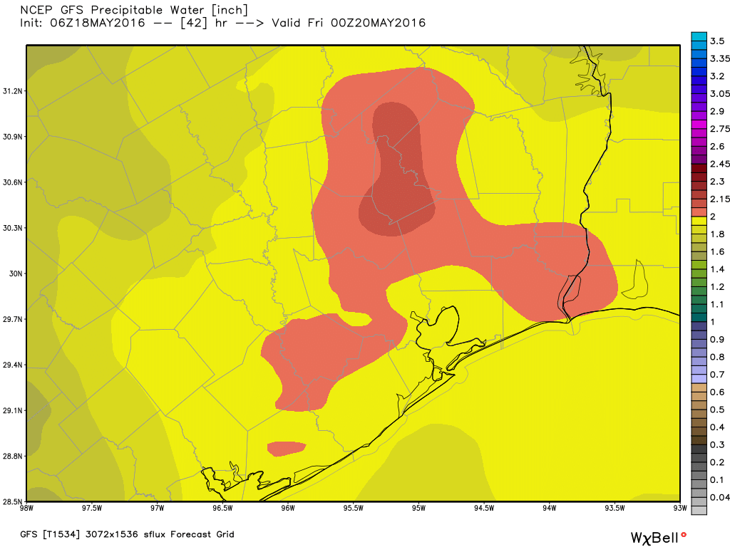
We’ll have to watch for isolated areas getting more than this, but for the most part I don’t think we’re looking at widespread flooding concerns. Just more rain. It’s not clear entirely when, but I would expect any lingering rains to end sometime on Friday morning. After this skies should clear out during the afternoon hours on Friday.
THE WEEKEND and BEYOND
With some high pressure building over the area the weekend looks fairly nice for late May, with partly to mostly sunny skies and highs in the mid- to upper-80s. We should see partly sunny days continue through the early part of next week, with only a moderate chance of afternoon showers and thunderstorms with daytime heating.
Maybe I am mistaken, but it lately it seems that more often than not when there is a cap in place it has been difficult to break. I wish I had a dollar for every time over the past couple of months that I have read “the cap held”. Do you think there is a reason this has continued to be the case in this area, or do you think we are missing a full understanding of the conditions due to not having a sounding for this area?
Do you expect any significant wind and lightning damage in the area, Thursday. Or will this mostly be a rainmaker?
Eric, since the flood threat has lessened slightly, I think we should concentrate on the severe weather threat. SPC says supercells are likely. Bottom line: what this storm system lacks in flood potential, it may well make up for in wind and hail damage across the Houston area.
Are we in agreement?
I have a better question than SkyGuy’s for you, Eric.
Is this storm system similar to the one that ignited the severe thunderstorms which caused catastrophic hail damage across parts of the Plains and Southeast from April 10 – 13, killing at least one person and injuring dozens more?
As you recall, the Dallas-Fort Worth and San Antonio metro regions in Texas were the hardest hit by those storms, where softball and baseball-sized hail caused significant damage.
Surely, Houston’s not in for the same thing!