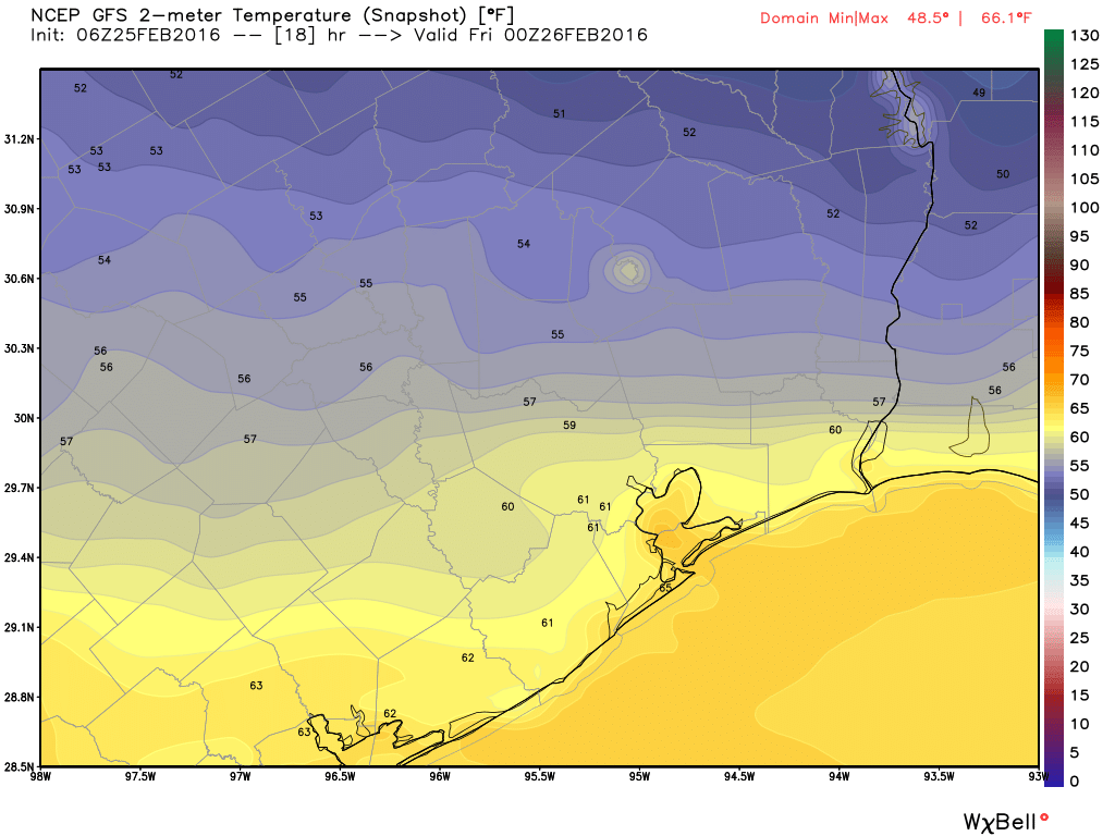
On the last day of February it seems like we’re about to enter a transition period from winter to more consistently spring-like weather. In other words, we’re not going to see cold weather any time soon.
TODAY
Some areas are seeing fog that should burn off later this morning. Otherwise, as moisture returns from the Gulf of Mexico, we’ll see a warm, cloudy day with highs in the mid- to upper-70s. There’s a slight chance of rain. Lows tonight won’t fall far — only into the 60s.
TUESDAY
After another cloudy and warm day a cold front will arrive later on Tuesday. We’ll have another slight chance of rain, but a capping inversion should prevent widespread activity. Rain chances appear to be best well to the northeast of Houston. Lows should fall to around 50 degrees during the night.