The onshore flow has kept temperatures generally in the 50s across the Houston area this morning, and as a result we’re seeing the development of some fog across the area, although visibilities for the most part remain OK.
Thursday
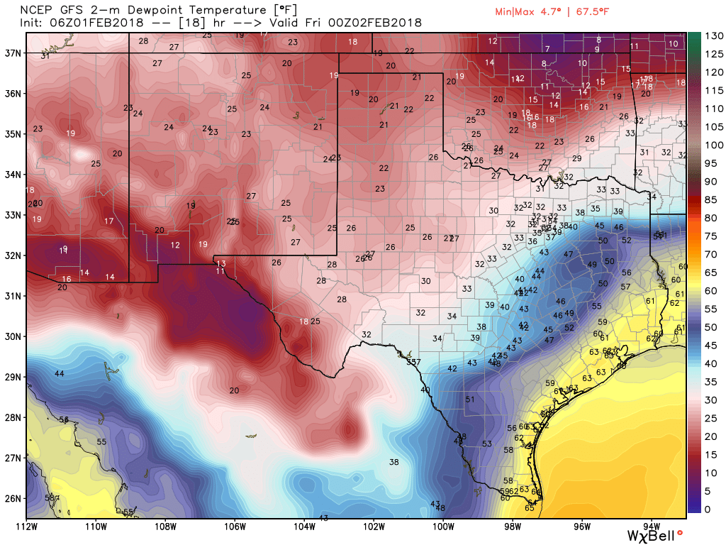
We should see partly sunny skies later this morning, and this will allow high temperatures to climb into the mid- to upper 70s, with Houston possibly seeing its warmest day of the year. As moisture levels rise and a front drops out of the north, we may see a some scattered, light rain showers this afternoon, evening, and during the overnight hours. However anything that forms should not be threatening. The front itself could reach the northern part of the metro area by or before sunset today, and move through the region during the overnight hours.
Friday
Any rain should end after the front moves through, and we’ll be left with a chilly day Friday as northerly winds blow in, and highs struggle to climb above the mid-50s. Mostly cloudy skies will add to the winter-like ambiance.
