Roller coaster ride of temperatures today through tomorrow

Buckle up! It’s going to be a bit of a ride from the perspective of comfort over the next 24 hours. But that will setup what should be a decent weekend.

Today

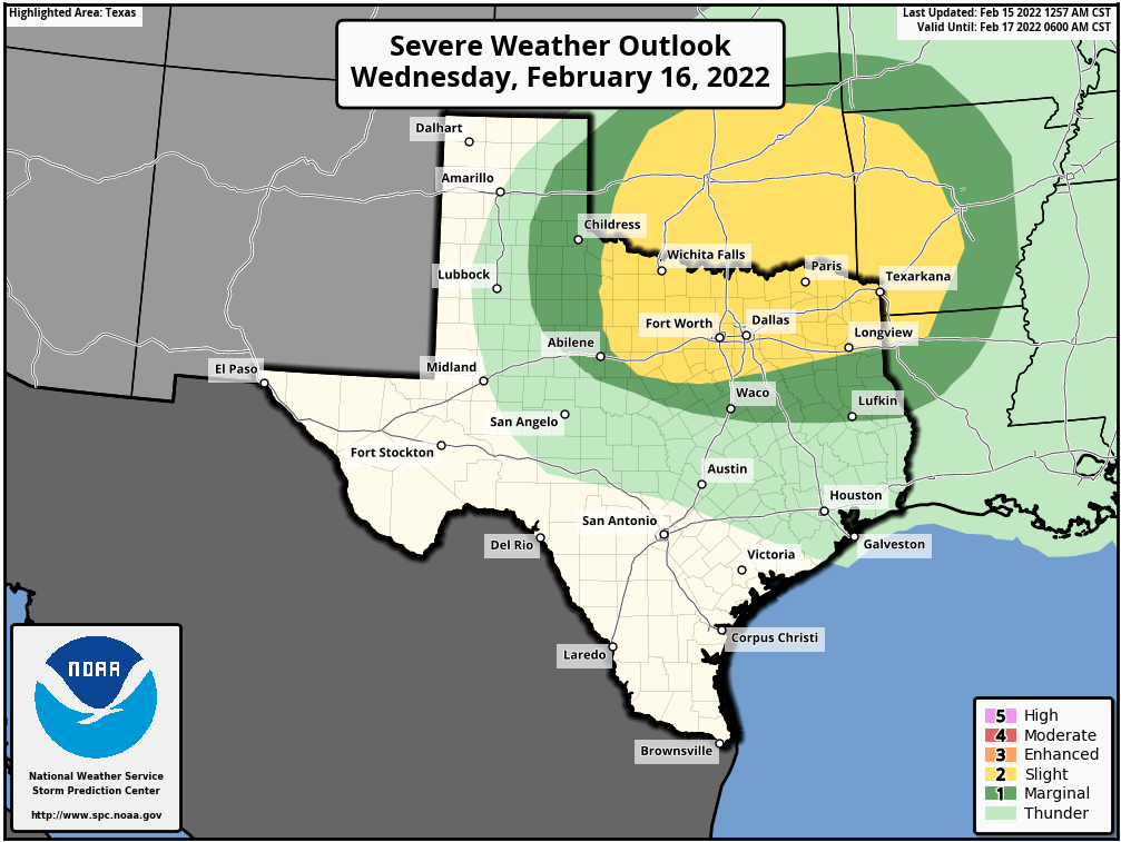
This morning has a bunch of mostly light to moderate showers showing up across the region as the first piece of today’s change works through. This is not the cold front but rather what we call a pre-frontal trough, or a dryline. It will deliver scattered showers, light rain, or drizzle, mainly north of I-10. A couple heavier showers or a storm can’t be entirely ruled out to the north of Houston, but no severe weather is expected.

The sun should come out more aggressively by late morning across the majority of the area once this pre-frontal trough nudges through.

Temperatures should easily exceed 70-75 degrees in before the front sets us back about 40 degrees tonight.

With gusty northwest winds and much lower humidity this afternoon, temperatures will jump up until the actual cold front arrives. Look for that front to get to College Station before 2 PM, the northern & western suburbs of Houston by 4 PM, downtown by 5 PM, and the coast before 7 PM. Give or take an hour or two.

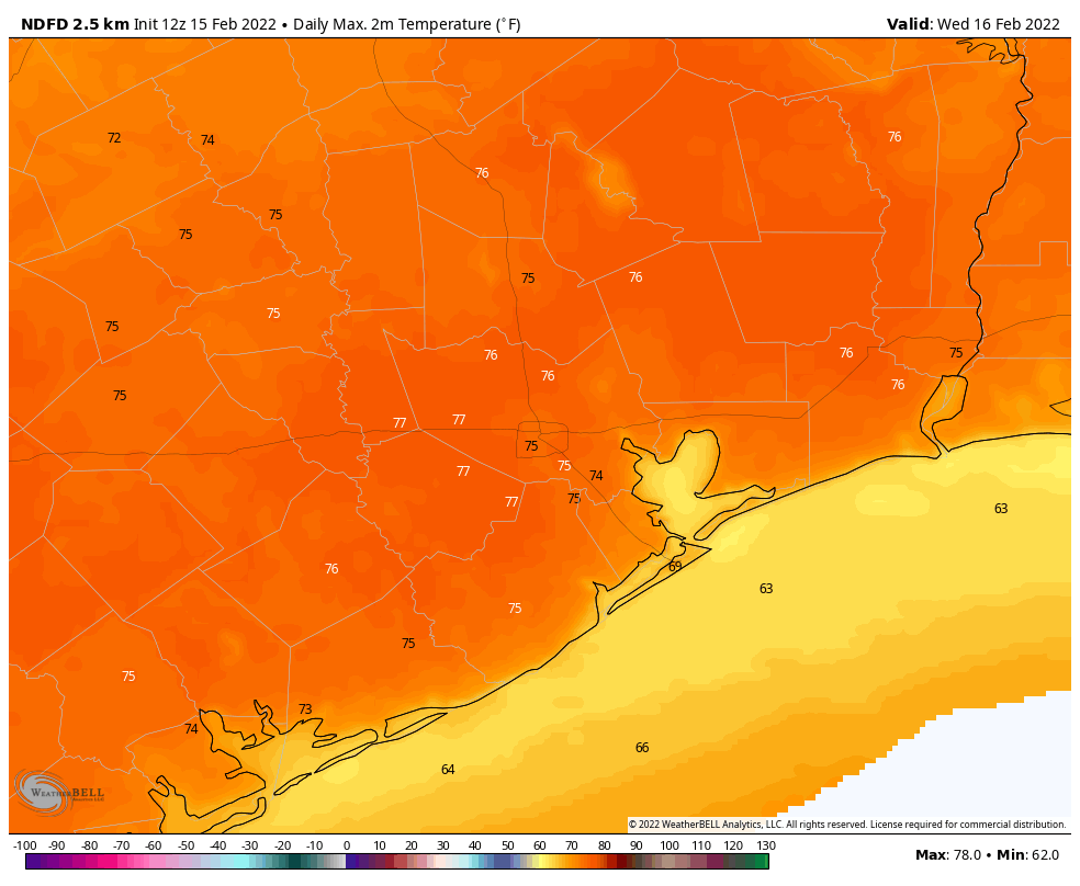
When the front arrives, temperatures should drop 10 to 15 degrees over an hour or two and winds will shift from the west to the north. Before that, we’ll likely see highs into the 70s in most spots, with a chance for upper-70s in the city and south and east of Houston.

Tonight

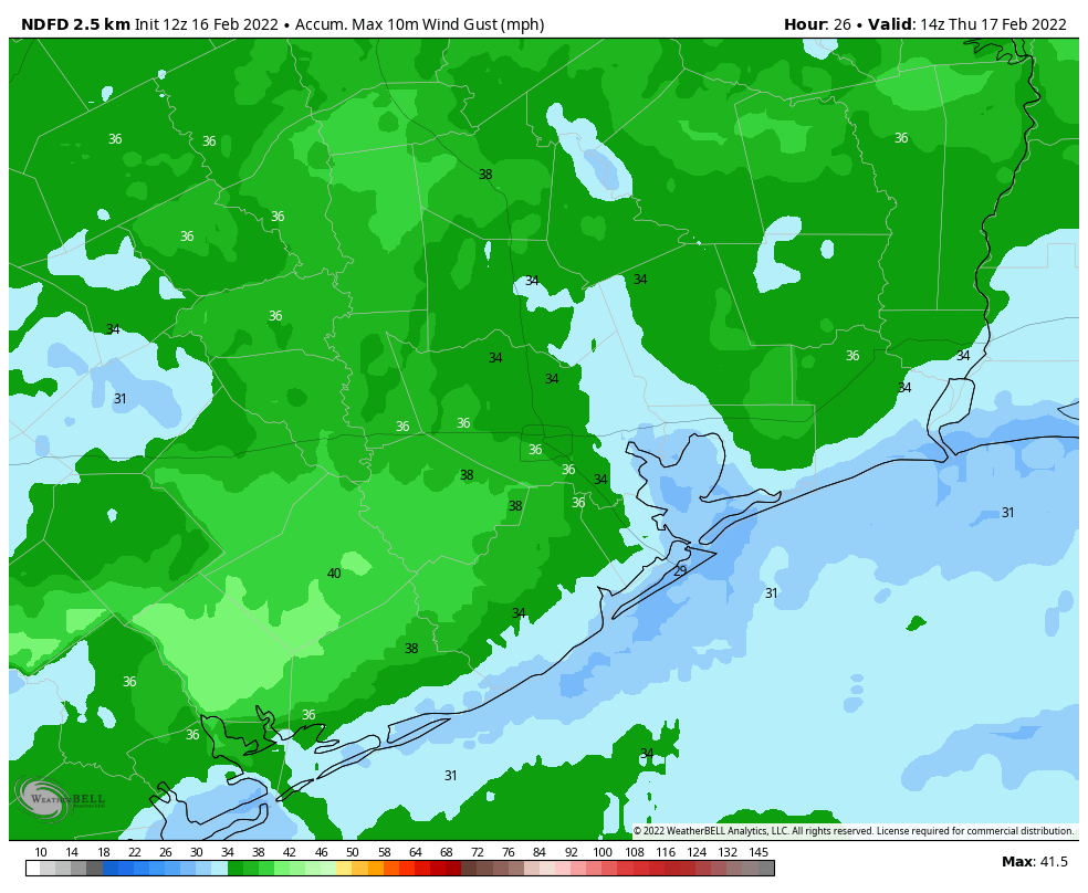
Once the front pushes offshore, we’ll see a few clouds and continued gusty north winds of 15 to 25 mph. Temperatures will continue to steadily march down, until Friday morning, when most of the region will be in the 30s.

Maximum wind gusts today and tonight should peak in the 30 to 35 mph range in most spots, potentially higher along the coast or to our east. (Pivotal Weather)

Temperatures could bottom out near freezing in the typical spots well north or west of Houston (Conroe or southwest of Katy/Fulshear). Passing high clouds and the wind will likely limit just how cold most areas can get, so 35 degrees seems to be the cutoff for most places south and 30 degrees north.

Friday & Saturday

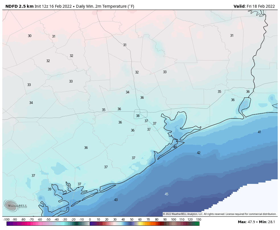
After that chilly start on Friday morning, look for high clouds through the day. This will keep temperatures in check a little further, and while mid to upper-50s is the current forecast, we may need to shave a couple degrees off that number if clouds are a little more widespread or thicker. We’ll get another dose of chilly temperatures on Friday night, but it should remain in the upper-30s to low-40s in most spots.

Saturday looks great. Expect sunshine and slightly warmer weather. We’ll march to about 60 degrees or a little warmer with a light wind. Some clouds may attempt to linger south of I-10 at times, but short of that, there should be little to trouble you on Saturday.

Sunday

Clouds will start to push back into the region as winds flip onshore Sunday. Temperatures should still be able to get well into the 60s despite the clouds. A stray shower is possible in the afternoon, especially close to the coast.

Monday and Tuesday

Look for warm, humid weather to settle in for both Monday and Tuesday. Shower chances will push across the area Monday and stay mostly north of the Houston area Tuesday. Temperatures should have no trouble getting well into the 70s, if not back to 80 degrees, especially by Tuesday. Morning lows will be mostly in the 60s.

Beyond Tuesday

A cold front is going to try and push through Houston on Tuesday night, but models disagree about how far it will get. This will have significant impacts on our temperature forecast (the difference between 50s and 70s), and also on our rain forecast. So the forecast on Wednesday and Thursday is kind of a coin flip right now. Look for a more decisive cold front to push through either later Thursday or Friday, and that should usher in somewhat colder air for next weekend.

Southerly winds start to blow today in response to an advancing front

Good morning. Houston will experience warm, windy, and mostly cloudy weather before a strong-ish cold front arrives during the middle of the day Thursday to cool things off. Temperatures could bottom out in the upper 30s on Friday and Saturday morning in Houston, with somewhat chilly weather lasting through most of the weekend.

Wednesday

This morning’s highlight was the setting of a very nearly full Moon, but skies will now cloud over for much of the area. A persistent and warm southerly flow will allow temperatures to reach the mid-70s today. In response to low pressure over the central United States, these winds may at times gust to 25 or 30 mph this afternoon. As atmospheric moisture levels rise, a few isolated, light rain showers will be possible today, but the majority of us should stay dry. Low temperatures tonight may only drop into the upper 60s for most, with an ongoing, slight chance of showers. Winds will remain blowy, from the south.

Forecast for maximum wind gusts from now through Wednesday night. (Weather Bell)

Thursday

After a muggy start, the aforementioned front should move into areas northwest of Houston during the morning hours, the central part of the city around noon, and reach the coast an hour or two later. Some scattered showers are possible with the front, but a capping inversion should limit the threat of any serious thunderstorms. Daytime temperatures will be in the 70s, but the mercury will pretty quickly start to drop as sunset approaches. Overnight lows will drop into the upper 30s, with the usual suspects far inland possibly seeing a light freeze.

Friday morning should be the coldest of the week. (Weather Bell)

Friday

This will be a cooler, mostly sunny day with highs in the mid- to upper 50s. Winds will come from the north, but at a mild 5 to 10 mph clip. Lows Friday night will probably be a degree or two warmer than Thursday night.

Saturday and Sunday

Saturday should see mostly sunny skies, with high temperatures pushing into the low- to mid-60s. However, as high pressure moves off the onshore flow will resume, and this will allow for a warmer night in the 40s on Saturday, and highs perhaps around 70 degrees on Sunday. This onshore flow will probably lead to more clouds on Sunday as well, although any rain is unlikely before at least Sunday night or Monday.

Next week

You know the drill, temperature next week will continue to rise until the next front. In this case, I think highs may reach about 80 degrees by Tuesday, and perhaps Wednesday depending on the timing of the front. I’d pencil the next front in for Wednesday-ish, but not with a whole lot of confidence.

Houston to warm up before another front on Thursday

Good morning. For much of the region, temperatures this morning have only dropped to 50 degrees, and the next two nights will be even warmer. However, by Thursday another front will reach the area, bringing sunnier and chilly weather for the weekend. Also, if you’re interested in an update on our app, see the bottom of this post.

Tuesday

Winds are light out of the southeast this morning, but they’ll pick up today as the onshore flow really gets pumping. Expect gusts to reach about 20 mph. This influx of moisture will lead to partly to mostly cloudy skies today, with highs reaching about 70 degrees. Lows tonight will only drop into the upper 50s to 60 degrees, with even warmer conditions right along the coast. Some light rain is possible near the coast late tonight.

Highs Wednesday will be quite warm for Houston. (Weather Bell)

Wednesday

The potential for light, scattered showers will continue on Wednesday morning, with the possible additional development of some fog near the coast. The day itself will be windy, with southerly gusts as high as 25 to 30 mph really amping up moisture levels. Highs on Wednesday will reach the mid-70s for much of the area, and with dewpoints in the 60s you will start to feel some humidity. Skies will be mostly cloudy, with a continue chance of light rain. Low temperatures on Wednesday night will only drop into the upper 60s, with a chance of scattered showers and perhaps a few thunderstorms.

Severe weather outlook for Wednesday and Wednesday night. (NOAA)

Thursday

This day will start out muggy, ahead of the front. There is a chance of thunderstorms on Thursday morning. However, my sense is that the atmosphere will be capped enough that for most of us there will just be some fairly brief showers before the front reaches our northwest areas during the morning hours, the city around noon, and the coast during the afternoon hours. Highs ahead of the front will be in the 70s, with dewpoints and temperatures dropping after its passage. Skies will clear during the afternoon hours, allowing temperatures to drop into the upper 30s on Thursday night for all areas but the coast.

Friday, Saturday, and Sunday

We’ll see mostly sunny skies on Friday and Saturday in the wake of the front, with highs in the upper 50s for most areas on Friday, and lowers 60s on Saturday, probably. Sunday is a bit warmer, slotting somewhere in the 60s with rising dewpoints. The first half of next week should see highs in the 70s before the likely arrival of the next front.

App Update

We’re starting to work on the next update of our app, which will feature several frequently requested changes, including the addition of more regions in the drop-down menu of cities, a much improved radar, an option for metric units, and more in addition to bug fixes. What I’d like your feedback on is which cities to include for the 7-day forecast and current conditions. The following map shows the current options in the drop-down menu (red) and proposed additions (in purple). If there’s somewhere where we’re missing, please let me know in the comments below. Thank you!

Map of existing locations in the Space City Weather app (red) and proposed locations (purple).

One year after the historic Texas freeze, our weather this week looks mostly pleasant

Good morning. One year ago today temperatures plunged across the region as an Arctic front moved into the Houston region. This marked the beginning of our coldest weather in decades, as ice covered roads, temperatures dropped into the low teens, and millions lost power and shivered inside their homes. It was an absolute disaster. Fortunately, we’re not going to see its like again this winter. Instead, this week, we’ll see a mix of weather, with a little bit of something for everyone.

Have a warm heart on this cold start to Valentine’s Day. (Weather Bell)

Monday

Winds are calm this morning, but will pick up from the south-southwest as high pressure shifts eastward from Houston. This will help lead to a warming trend across the region, with highs generally reaching the upper 60s this afternoon beneath mostly sunny skies. Southerly winds will be light tonight, with low temperatures dropping into the upper 40s.

Tuesday

As atmospheric moisture levels begin to rise along with the southerly flow, some patchy fog is possible on Tuesday morning. Skies will see a mix of sunshine and clouds, with highs likely reaching about 70 degrees. Winds from the south will start to become more vigorous, with some gusts up to 20 to 25 mph possible, during the afternoon hours. Overnight lows will only drop to around 60 degrees.

Wednesday

As dewpoints continue to rise in response to the warm, southerly flow, expect a decent chance of fog. An upper level system with an associated front will be stirring up the atmosphere on Wednesday. This should make for another day with a breezy southerly wind, and partly to mostly cloudy skies. Some rain is possible too, although the better chances will probably come Wednesday night as the front draws near. Storms are possible to the north of the city, with better chances near Dallas. Lows Wednesday night should only drop into the low 60s.

Storm outlook for Wednesday and Wednesday night. (NOAA)

Thursday

The rains, which will generally be light and and result in a tenth of an inch or two of accumulations, should end Thursday morning before a front blows through. This front should reach areas northwest of Houston before noon, the city itself around noon, and the coast during the afternoon. Winds will be gusty in the wake of the front, out of the north, with clearing skies. Temperatures on Thursday afternoon will drop into the 50s for most locations, and into the upper 30s by Friday morning.

Friday, Saturday, and Sunday

The weekend will be cooler, with calmer winds, and mostly sunny skies. Expect highs to reach the upper 50s on Friday, with another night of lows in the upper 30s to 40 degrees in Houston. Saturday and Sunday should both see highs in the 60s. Overall it should be a rather pleasant winter weekend. Expect a fairly robust warming trend as we get into next week, with highs reaching the upper 70s by mid-week, probably.