Good morning. One year ago today temperatures plunged across the region as an Arctic front moved into the Houston region. This marked the beginning of our coldest weather in decades, as ice covered roads, temperatures dropped into the low teens, and millions lost power and shivered inside their homes. It was an absolute disaster. Fortunately, we’re not going to see its like again this winter. Instead, this week, we’ll see a mix of weather, with a little bit of something for everyone.
Monday
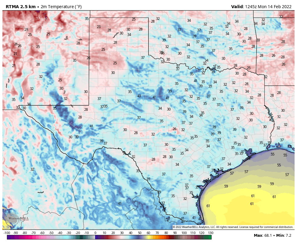
Winds are calm this morning, but will pick up from the south-southwest as high pressure shifts eastward from Houston. This will help lead to a warming trend across the region, with highs generally reaching the upper 60s this afternoon beneath mostly sunny skies. Southerly winds will be light tonight, with low temperatures dropping into the upper 40s.
Tuesday
As atmospheric moisture levels begin to rise along with the southerly flow, some patchy fog is possible on Tuesday morning. Skies will see a mix of sunshine and clouds, with highs likely reaching about 70 degrees. Winds from the south will start to become more vigorous, with some gusts up to 20 to 25 mph possible, during the afternoon hours. Overnight lows will only drop to around 60 degrees.
Wednesday
As dewpoints continue to rise in response to the warm, southerly flow, expect a decent chance of fog. An upper level system with an associated front will be stirring up the atmosphere on Wednesday. This should make for another day with a breezy southerly wind, and partly to mostly cloudy skies. Some rain is possible too, although the better chances will probably come Wednesday night as the front draws near. Storms are possible to the north of the city, with better chances near Dallas. Lows Wednesday night should only drop into the low 60s.

Thursday
The rains, which will generally be light and and result in a tenth of an inch or two of accumulations, should end Thursday morning before a front blows through. This front should reach areas northwest of Houston before noon, the city itself around noon, and the coast during the afternoon. Winds will be gusty in the wake of the front, out of the north, with clearing skies. Temperatures on Thursday afternoon will drop into the 50s for most locations, and into the upper 30s by Friday morning.
Friday, Saturday, and Sunday
The weekend will be cooler, with calmer winds, and mostly sunny skies. Expect highs to reach the upper 50s on Friday, with another night of lows in the upper 30s to 40 degrees in Houston. Saturday and Sunday should both see highs in the 60s. Overall it should be a rather pleasant winter weekend. Expect a fairly robust warming trend as we get into next week, with highs reaching the upper 70s by mid-week, probably.
Do you think we’ve seen the last of the freezing temperatures for the winter?
I’ve learned to never bet against Mother Nature. I’d wait on sounding the all-clear until March 31. Then, we can start worrying about hurricane season. Ha ha!
Saturday was miserable, the winds destroying everything, knocking down everything, and blowing trash everywhere. It is always windy here. Looks like Thursday is another day of clouds of dropping temperature. Only 34 more days until spring.
Ted “Texas Groundhog” Cruz not running away to Cancun this week means no disaster in Texas this week. More reliable than the yankee’s groundhog.