A mild week on tap for Houston this week, with a chance of showers Tuesday

Good morning. The overall forecast for this week will see generally mild conditions, with a healthy chance of light showers on Tuesday, and a slow warming trend before some sort of front arrives this weekend. This is definitely fall in Houston, so get outside and enjoy the weather.

Monday

There will be few tricks for our weather today, or during trick-or-treating hours this evening. Skies will be partly sunny, with highs in the upper 70s and light winds from the northeast. Temperatures will likely fall into the upper 60s after sunset, which is fairly typical for this time of year. Late tonight we may see some rain showers moving into the area from the southwest, but they should hold off until at least midnight, if not later. Lows will drop into the low 60s.

HRRR model forecast for radar reflectivity at 8 pm CT on Monday evening, about 1 hour into Game 3 of the World Series. An arrow denotes the location of Citizens Bank Park in Philadelphia. (Weather Bell)

Astros forecast

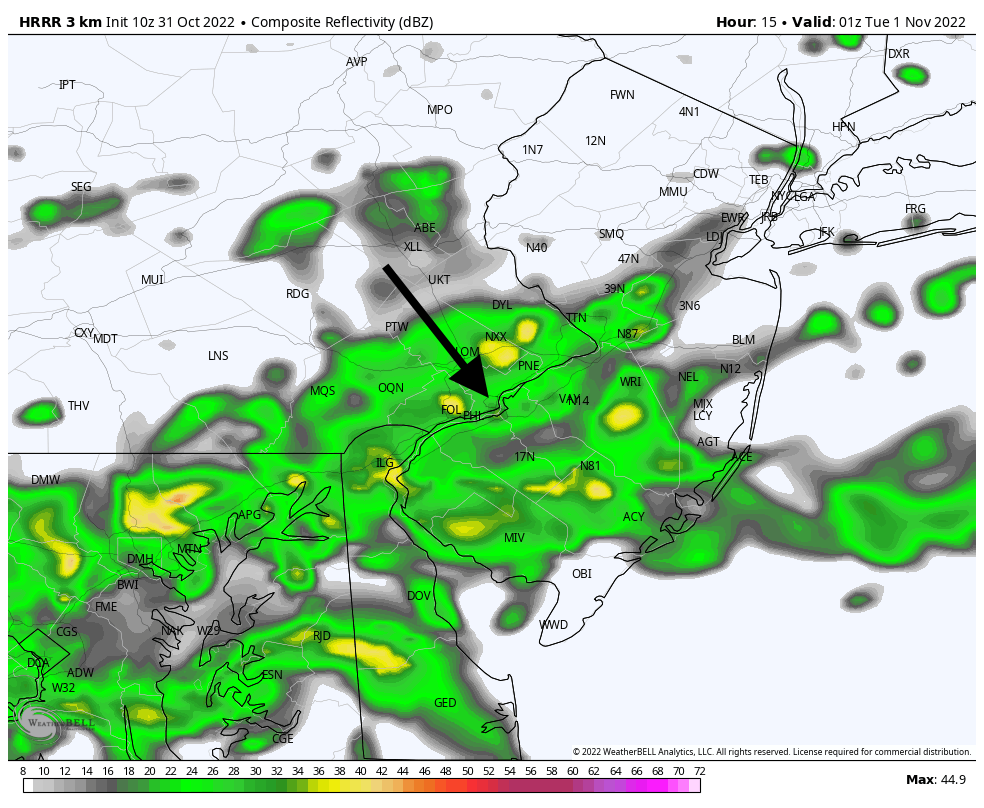
We predict an Astros win tonight. Oh, you meant a weather forecast. Game time temperatures at Citizens Bank Park in Philadelphia this evening for Game 3 of the World Series, which starts at 7:03 pm CT, will be about 60 degrees, with light southerly winds. They won’t drop much throughout the game.

Our major concern is rainfall, with about a 50 percent chance during the evening hours. However, any rain that does fall before midnight looks to be fairly light, so it probably will be something the game can be played through. Nevertheless, forecasters will be watching closely for any stray thunderstorms.

Tuesday

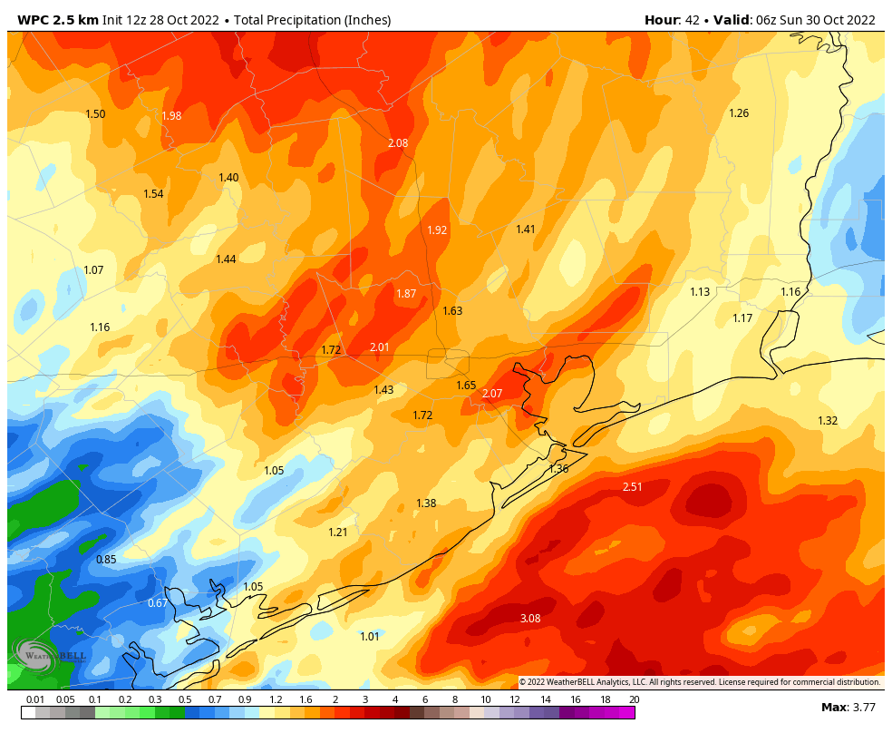
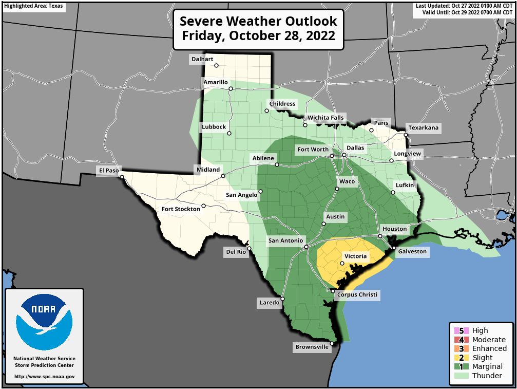
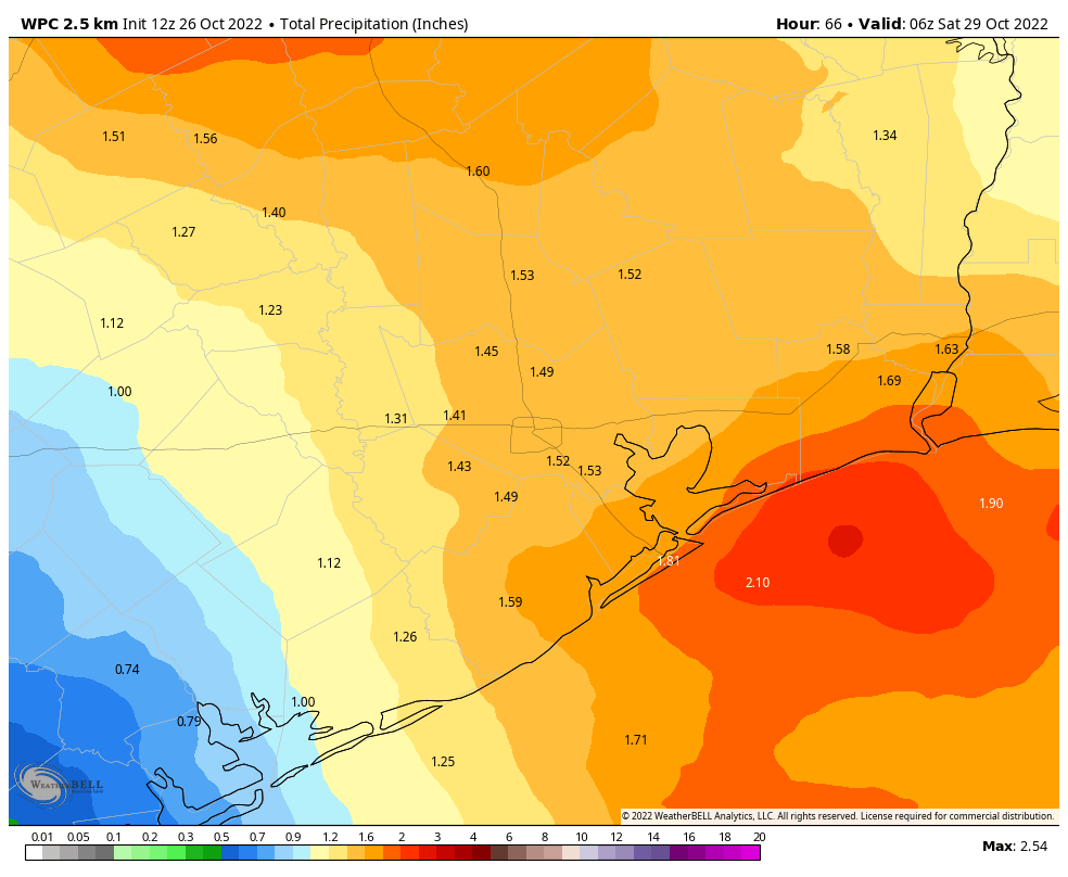
Ok, back to Houston weather. An atmospheric disturbance will pass over much of Texas on Tuesday, and it will combine with increasing moisture levels to produce a healthy chance of showers over our region. Chances are best along and south of Interstate 10, where moisture levels are highest. Those areas probably have a 50 percent, or greater, chance of rain, whereas the odds are lower for inland areas. Most locations will see a tenth of an inch of rain, or two, so we’re not anticipating any serious issues. With mostly cloudy skies in place, look for highs around 70 degrees, with easterly winds. Rain chances start to fade during the late afternoon and evening hours.

NOAA rain accumulation forecast for Houston through Tuesday. (Weather Bell)

Wednesday, Thursday, and Friday

The second half of the work week will see partly to mostly sunny skies, with highs warming from the upper 70s on Wednesday into the low-80s by Friday. Lows will generally be in the 60s. Rain chances are essentially zero until Friday evening or overnight, when the next front approaches the region.

Saturday and Sunday

The weather to start the weekend will be determined the timing of the front, so for now the forecast is written in pencil. I’d anticipate a healthy chance of showers on Friday night and into Saturday morning, with winds becoming fairly breezy out of the northwest as the front hits. After the front moves through skies should clear out fairly quickly, so my expectation for conditions by Saturday afternoon, as of now, is partly sunny skies and highs in the mid-70s. We’ll see. Confidence in Sunday’s forecast is higher, with temperatures in the 70s, drier air, and sunny skies. I think we’ll warm up fairly quickly after this front, but there’s probably another one on the way by the middle of next week.

Storms, some of which may be strong, are possible this afternoon as a front approaches

Good morning. If you live in the southern half of the Houston region, roughly along or south of Interstate 10, you already picked up about one-half inch of rain overnight. A storm system will bring a few additional waves of rain today, with the main belt of showers moving through this afternoon and early evening. The ensuing front will set the stage for several cooler and drier days. In short, after getting some much needed rainfall, fall-like weather will prevail for a while. Hard to complain about that!

Friday

This morning most (but not all) of the storm activity is offshore, and based on radar trends it looks as though these showers will remain so for now. However, the main driver of storm activity, a low pressure system in the atmosphere, is still moving toward the area so I don’t expect the largest chunk of showers and thunderstorms, some possibly severe, until late this morning and into the afternoon hours.

These storms will move from west to east across the area, with the heaviest rains likely exiting to the east by around sunset if not before. What should your expectations be? I still think most of the area will see 1 to 2 inches of rainfall, but there is still some uncertainty in that. Within stronger thunderstorms, there will be the potential for damaging winds, and a lesser chance of hail or possibly a tornado. High temperatures today are unlikely to rise above the mid-70s, with mostly cloudy skies.

If you’re traveling to the Astros game this evening, you should anticipate the possibility of some slowdowns due to weather on the way to the game, but afterward the weather should be fine except for the possibility of some lingering, light showers.

NOAA rain accumulation forecast for now through Saturday. (Weather Bell)

Saturday

While the showers should end on Saturday, it now looks like we’ll see cloud cover linger over the area for much of the day. This should help to limit high temperatures to about 70 degrees to go along with northwesterly winds gusting up to 20 mph. Lows on Saturday night should drop into the 50s, with partly cloudy skies.

Sunday

This will be a fine, fall weekend day with highs in the mid-70s and partly to mostly sunny skies. Winds will be light, generally from the northeast. Temperatures on Sunday night should be a degree or cooler than Saturday night.

Low temperatures on Monday will get Halloween off to a crisp start. (Weather Bell)

Monday

Halloween will definitely bring treats rather than tricks this year. Look for highs in the mid- to upper-70s with partly sunny skies. Expect mild conditions on Monday evening. While the potential for some rain will return during the early part of next week, at this point I think it holds off until Tuesday morning.

Next week

The rest of the week should see a warming trend, with highs getting to about 80 degrees by Friday or so. As mentioned, some light showers are possible on Tuesday and Wednesday. Some sort of front is likely to arrive by, or during the weekend, but the details of this are yet to be determined.

What to expect from storms on Friday, a mostly sunny weekend, and a splendid Halloween

Good morning. After a chilly start this morning, Houston will see increasing temperatures and humidity today, which will set up a day with widespread showers on Friday, and a chance of stronger storms. After a front moves through, expect clearing skies this weekend with pleasant highs in the low 70s.

Thursday

Temperatures have fallen to around 50 degrees this morning for much of the metro area. However, with sunny skies and light winds shifting from the northeast to southeast today, we’re likely to see highs climb into the upper 70s. A few areas may see 80 degrees. Low temperatures tonight will be quite a bit warmer, with most of the area falling only to the mid-60s. Humidity will also start to increase noticeably, as moisture surges in from the Gulf of Mexico.

The area in yellow is most at risk for severe weather on Friday. (NOAA)

Friday

The upper-level pattern will become much more favorable for storms on Friday, particularly for the southern half of the metro area. I expect the morning to start out mostly cloudy, with fairly scattered, probably mostly light showers. The best chance for stronger storms will come between about noon and sunset, moving from west to east. In terms of rainfall expectations, if you live north of Interstate 10 I would anticipate between 0.5 and 2 inches of rain, and if you’re south it might be on the order of 1 to 3 inches. Some areas will see less, and some more. In areas where stronger thunderstorms set up, there could be some brief street flooding.

Along with the threat of heavy rainfall, there is the potential for strong, gusty winds, and a lesser threat of hail or a few tornadoes. The potential for stronger storms is greatest to the south of Houston, particularly in the Matagorda Bay area. Otherwise, conditions will be muggy on Friday, with temperatures in the low 70s. The front will bring dry air in overnight, with rain chances lessening during the evening hours and dropping off by Saturday morning. If you’re headed to the Astros game, be prepared to dodge some showers on the way in. The roof, needless to say, will likely be closed.

Saturday

After a partly cloudy start on Saturday morning, I expect to see clearing skies. Look for highs around 70 degrees, with moderate northerly winds gusting to perhaps 20 or 25 mph during the afternoon. These winds should fade as evening comes on. Lows Saturday night will drop into the mid-50s in Houston, with cooler conditions inland.

Sunday

This should be a fine weekend day, with reasonably dry air, mostly sunny skies, and highs in the mid-70s. Lows on Sunday night drop into the low- to mid-50s. Enjoy!

Halloween will start of chilly in the Houston area. (Weather Bell)

Monday

Halloween should be another fine day, with moderately dry air and highs in the mid- to upper-70s. Look for mild trick-or-treating conditions, with temperatures in the upper 60s to 70 degrees. Far from frightful!

Rest of next week

Houston will see a gradual warming trend, with highs getting back to around 80 degrees by Wednesday or Thursday. But it’s not going to be oppressively hot or humid. Lows will rebound into the mid-60s. The next front, and the potential for some rain, may come next weekend. But that’s too far away to forecast with any confidence.

There is a pretty good chance of rain this Friday—no, really

In recent weeks the Houston area has had some decent chances for much needed rainfall after a very dry late summer and early fall. How dry? Houston’s Hobby Airport, for example, is now running a rainfall deficit this year of more than 25 inches. Those hoped-for rain storms have been hit or miss this month, however, with much of the area only picking up a smattering of rainfall.

Stop me if you’ve heard this before, but looking ahead to Friday the Houston region has another good chance of rainfall. As I’ll explain below I’m cautiously optimistic this one will deliver more widely. But hey, if you’re skeptical, I get it. Recent rain storms have definitely underperformed.

Temperature (top) and rainfall data for 2022 at Houston’s Hobby Airport. Note the rainfall deficit, shown in brownish-yellow. (National Weather Service)

Wednesday

Today will bring no rainfall, of course, with high pressure overhead. Rather we can expect extraordinary fall weather, with sunny skies, dry air, and highs in the mid-70s. Winds will be light, out of the northeast. As these winds shift to come from the east overnight, we can expect overnight temperatures to be a little warmer on Thursday morning, likely in the low-50s in Houston.

Thursday

As the onshore flow deepens on Thursday we’ll start to see humidity return, as well as some clouds later in the day and evening. Highs will be near 80 degrees, and with the warmer flow overnight temperatures are unlikely to fall below the mid-60s. This moistening of the atmosphere will set up healthy rain chances on Friday, ahead of a cold front.

Friday

The key ingredients will be in place for widespread showers, and possibly some heavier thunderstorms, on Friday: a lot of moisture in the atmosphere, a low-pressure system associated with an advancing front, and daytime heating. The extent to which all these line up will determine the amount of rainfall we see, but I think the majority of the area can probably expect about 1 inch, with the potential for more in areas where strong thunderstorms develop. Some street flooding is possible.

NOAA rainfall accumulation forecast for now through Friday. (Weather Bell)

This is not a guarantee of rainfall, and with the underperformance of precipitation in recent months I’m hesitant to go further. But suffice it to say this is our best chance for a good soaking in quite a while. Skies will otherwise be cloudy, with highs in the mid-70s. If you’re lucky enough to be going to Game 1 of the World Series, which starts at 7:03 pm CT on Friday evening, you can expect a chance of lingering showers, but the heavier rains will probably be gone. I’ll try to pin down the timing of storms in tomorrow’s post.

Saturday and Sunday

The weekend will be cooler in the wake of the front. While the chance of showers should end by Saturday morning, some clouds could linger into the daytime. Look for highs near 70 degrees, with lows Saturday night in the mid-50s in Houston, with cooler conditions further inland. Sunday will be mostly sunny and warmer, with highs in the low- to mid-70s.

Next week

Halloween’s weather on Monday will be far from frightful, with sunny skies and highs in the upper 70s. Expect very light winds and mild temperatures on Monday evening, perhaps near 70 degrees or just below.

The rest of next week looks warmer, with highs near or just above 80 degrees, and lows moving into the upper 60s. The next front may move in before next weekend, or not.