Good morning. The overall forecast for this week will see generally mild conditions, with a healthy chance of light showers on Tuesday, and a slow warming trend before some sort of front arrives this weekend. This is definitely fall in Houston, so get outside and enjoy the weather.
Monday
There will be few tricks for our weather today, or during trick-or-treating hours this evening. Skies will be partly sunny, with highs in the upper 70s and light winds from the northeast. Temperatures will likely fall into the upper 60s after sunset, which is fairly typical for this time of year. Late tonight we may see some rain showers moving into the area from the southwest, but they should hold off until at least midnight, if not later. Lows will drop into the low 60s.

Astros forecast
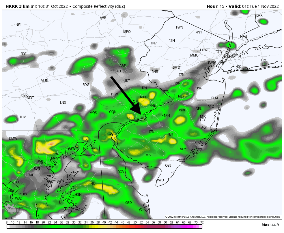
We predict an Astros win tonight. Oh, you meant a weather forecast. Game time temperatures at Citizens Bank Park in Philadelphia this evening for Game 3 of the World Series, which starts at 7:03 pm CT, will be about 60 degrees, with light southerly winds. They won’t drop much throughout the game.
Our major concern is rainfall, with about a 50 percent chance during the evening hours. However, any rain that does fall before midnight looks to be fairly light, so it probably will be something the game can be played through. Nevertheless, forecasters will be watching closely for any stray thunderstorms.
Tuesday
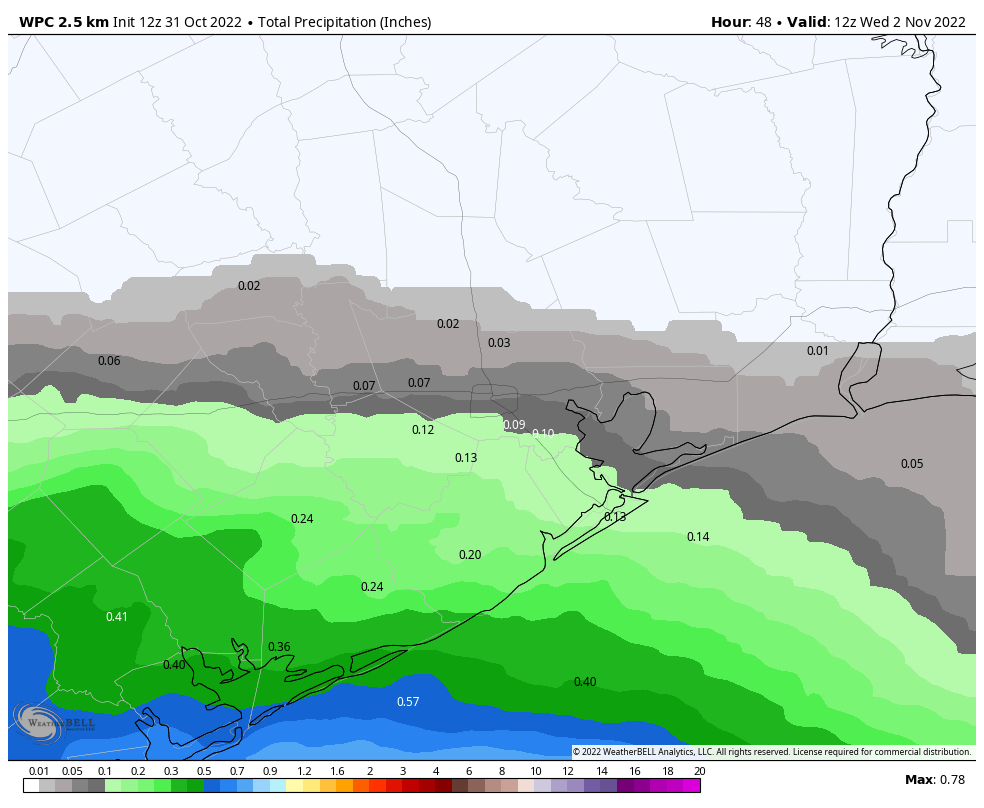
Ok, back to Houston weather. An atmospheric disturbance will pass over much of Texas on Tuesday, and it will combine with increasing moisture levels to produce a healthy chance of showers over our region. Chances are best along and south of Interstate 10, where moisture levels are highest. Those areas probably have a 50 percent, or greater, chance of rain, whereas the odds are lower for inland areas. Most locations will see a tenth of an inch of rain, or two, so we’re not anticipating any serious issues. With mostly cloudy skies in place, look for highs around 70 degrees, with easterly winds. Rain chances start to fade during the late afternoon and evening hours.

Wednesday, Thursday, and Friday
The second half of the work week will see partly to mostly sunny skies, with highs warming from the upper 70s on Wednesday into the low-80s by Friday. Lows will generally be in the 60s. Rain chances are essentially zero until Friday evening or overnight, when the next front approaches the region.
Saturday and Sunday
The weather to start the weekend will be determined the timing of the front, so for now the forecast is written in pencil. I’d anticipate a healthy chance of showers on Friday night and into Saturday morning, with winds becoming fairly breezy out of the northwest as the front hits. After the front moves through skies should clear out fairly quickly, so my expectation for conditions by Saturday afternoon, as of now, is partly sunny skies and highs in the mid-70s. We’ll see. Confidence in Sunday’s forecast is higher, with temperatures in the 70s, drier air, and sunny skies. I think we’ll warm up fairly quickly after this front, but there’s probably another one on the way by the middle of next week.

When will we start to see any arctic fronts? You know the kind that shifts the winds immediately and drops the temperature 30 degrees in 2 hours.
La Nina might damper those artic fronts like it did this time last year.
We usually don’t see those type of fronts until late November or December.
I think La Niña is supposed to last through Dec, which for us means warmer drier. Then ENSO neutral should return early next year to give us more normal or colder weather.
Happy Halloween and everyone be safe
Weather is absolutely spooktacular.