Good morning. After the rains, the thunder and lighting, the pea-sized hail and yes, even a tornado north of Houston, we finally come to some calmer weather. Skies will be sunny today, with no rain or storms in sight. But there will be plenty of wind and cold air. If you don’t like that, well, fine. Houston’s weather will be changing significantly on almost a daily basis for the next week at least. Cold today. Balmy by Thursday. Near freezing by Saturday morning. Warming up again on Sunday. Then very likely freezing by early next week with our coldest weather in more than a year.
Buckle up, y’all, because its rollercoaster time in the Bayou City.
Tuesday
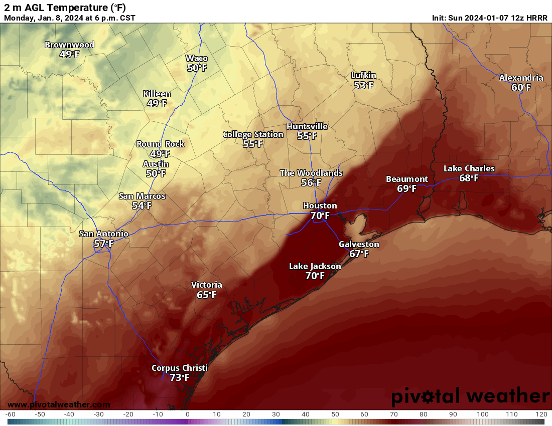
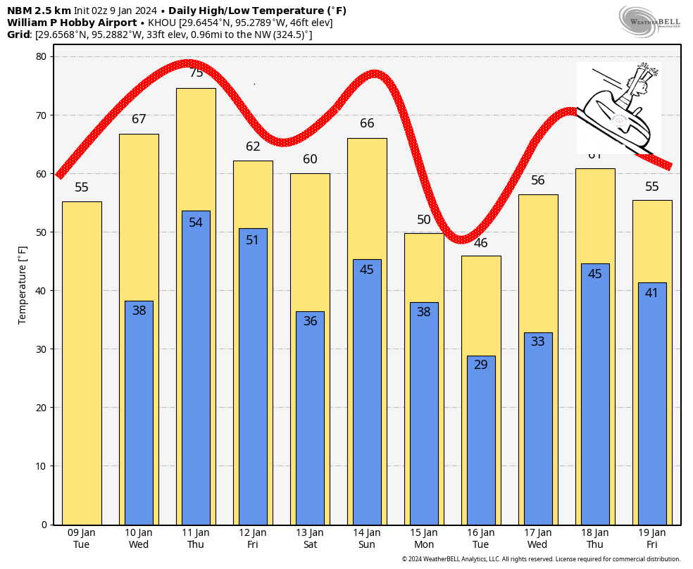
It’s a blustery, cold morning outside. Temperatures are generally in the low 40s across the metro area, and when you layer wind gusts of 25 to 30 mph on top of that, it feels like the 30s outside. Strong northerly winds will persist for much of today. Skies will be sunny, but with the colder flow highs will only reach the mid-50s. Skies will be clear tonight, with lows generally in the 30s, though above freezing for the majority of the metro area. Winds will slacken some overnight, finally.
Wednesday
Pretty quickly, the flow will reverse itself, coming from offshore. This will allow temperatures to warm into the mid-60s, with plenty of sunshine. Clouds will start to build on Wednesday night, as lows drop only into the mid-50s.
Thursday
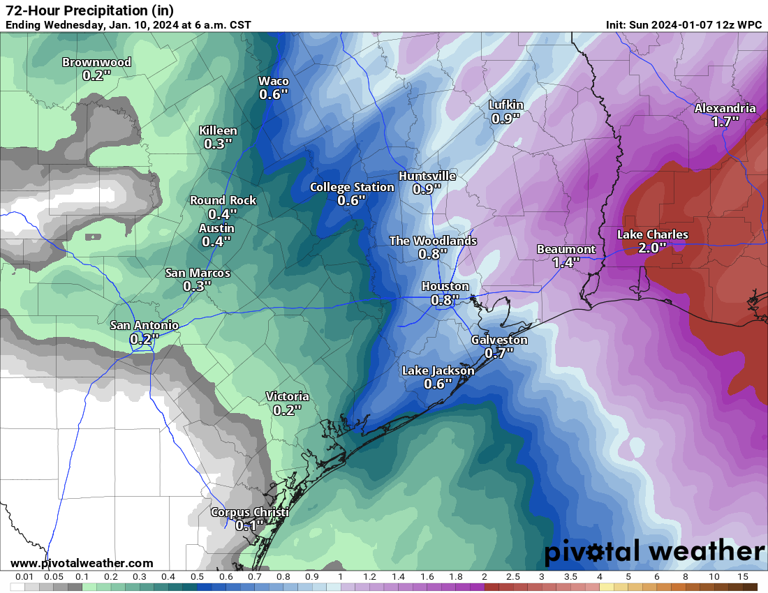
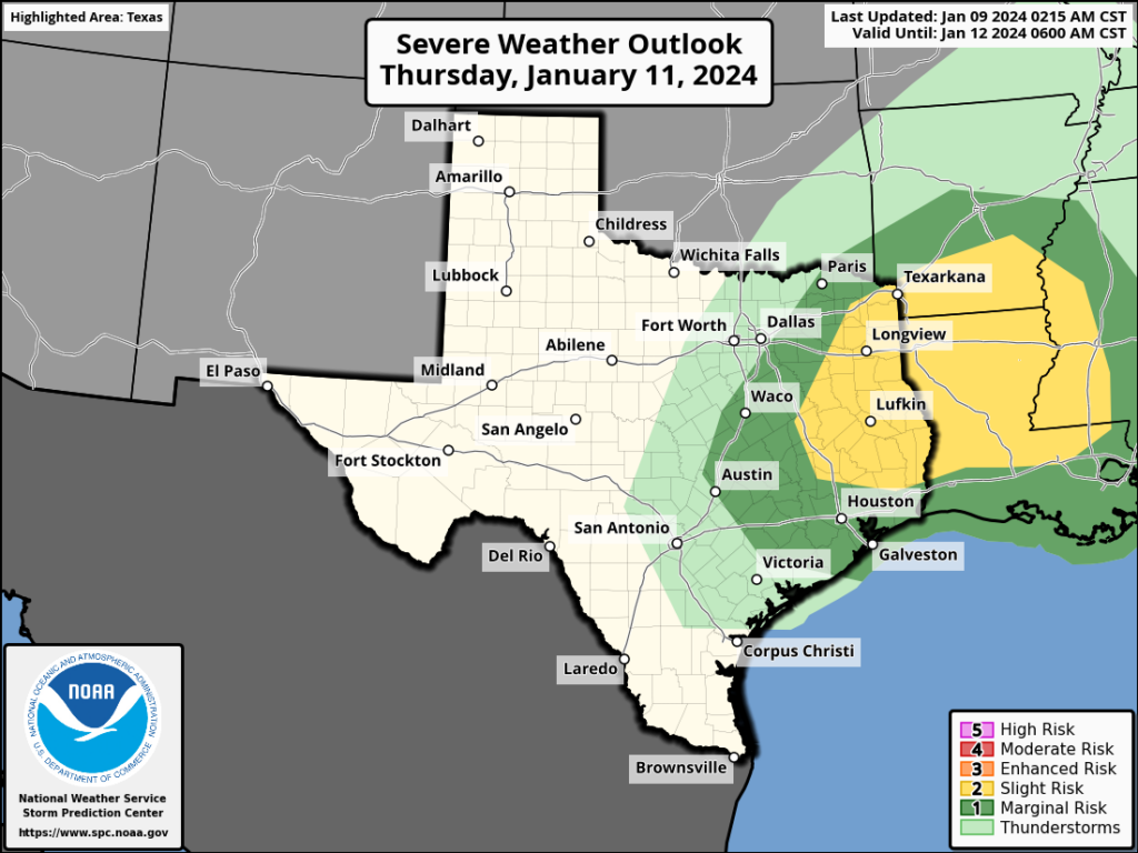
This will be a fairly warm day, with an ongoing southerly flow. Skies will be mostly cloudy, with highs pushing into the mid-70s. The region’s next front will move into the Houston region some time on Thursday night, and there could be a broken line of showers and thunderstorms accompanying it. Right now things don’t look too serious for Houston, but there is a risk of severe weather to the northwest of the metro area, including northern parts of Montgomery County.
Friday
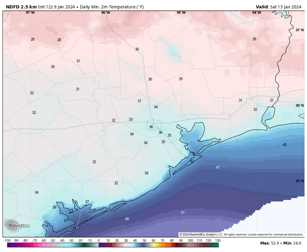
This should be a sunny day, and will have colder temperatures. Look for highs of around 60 degrees. Friday night will be cold, with lows dropping into the 30s. A light freeze is possible for inland areas on Friday night with clear skies and light winds.
Saturday and Sunday
This will be a sunny and cool day, with highs of around 60 degrees. As the onshore flow returns on Saturday we’ll see overnight temperatures moderate on Saturday night. For my fellow marathon runners, there’s still a bit of uncertainty about Sunday morning. But my best guess for start-line conditions is temperatures in the low- to mid-40s, with mostly clear skies. Throughout the morning temperatures should warm into the 50s and then reach 60 degrees around noon. I’m not worried about any rain, but there should be some wind, perhaps 10 to 15 mph from the south with some higher gusts. This will nudge dewpoints up, but it won’t be anything too uncomfortable. The next front arrives Sunday night.
Next week
Much colder weather is on the way, starting next Monday. There are some key questions such as how cold is it going to get? And is there a chance of snow or sleet on Monday? In terms of temperatures, there’s a solid chance that Houston drops into the mid-20s and sees a hard freeze. I don’t feel overly confident in that, but it’s a distinct possibility. I’ll dig more into that tomorrow, when hopefully there’s some more forecast clarity, and precautions you’ll need to take. We also can’t rule out some freezing precipitation, but overall chances look fairly low for that. In any case, our region’s coldest weather in more than a year is on the way.