We always seem to lock into a dreary, gray pattern this time of year for a period of time, and this year, while a bit more broken up, looks similar. So enjoy today, which will be delightful!
Today
Beautiful. Expect sunshine and really stunning weather for late December. We’ll do lower 60s this afternoon, with a few spots maybe in the upper-50s. Other than a modest breeze and perhaps a few clouds late, it will be a calm, lovely day.
Tonight through New Year’s Eve Monday
We’ll be setting up another storm system over the area beginning tonight. While this one should not have nearly the impact of the storm we just got through, it will be a bit drawn out.
Clouds will increase tonight, with low temperatures probably being reached earlier in the evening than Thursday night into this morning. We should do mid- to upper-40s for lows.
Unfortunately, Saturday doesn’t look great.

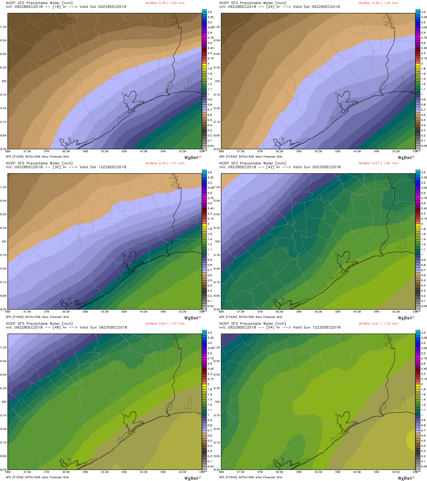
I’m hesitant to call it a washout right now, but I do think there will be a fair bit of light or steady rain and showers around during much of Saturday. Moisture begins to increase tonight, and it will further increase tomorrow and tomorrow night. Rain chances will probably start near the coast on Saturday morning and spread inland during the afternoon and evening.
The Houston area is going to be on the cooler side of the boundary responsible for helping disturbances pass through this weekend. That will allow temperatures to end up colder than usual. This will be a chilly rain. Highs on Saturday shouldn’t get much past the 50 degree mark, if they even get there at all. Saturday night will see continued showers or light rain. Temperatures won’t go very far. Expect lows in the mid-40s.
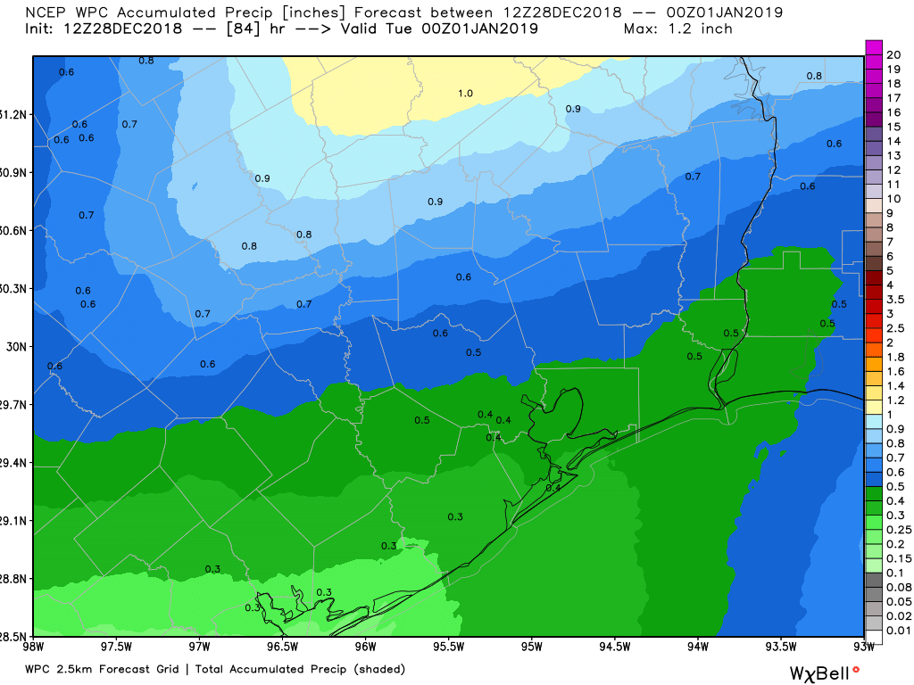
Off and on rain continues Sunday, which will be much like Saturday, as high temperatures don’t scoot beyond the low- or mid-50s. Finally, a more aggressive push from the west by a disturbance on Monday morning will begin to unwind this storm. This looks like a much lighter version of Thursday’s system, with showers and thunderstorms possible ahead of and along the front Monday morning. We don’t expect much heavy rain or any severe weather right now. This should be a more benign front, with rain chances ending probably around Noon, give or take.

Depending on how quickly skies clear out Monday afternoon, we may be able to sneak above 60 degrees. The better news in all this? If the timing of these disturbances is able to hold through the weekend, expect no issues for New Year’s Eve festivities. Right now, it should be a dry and cool Monday night, with temperatures probably in the upper-40s around Midnight.
New Year’s Day & next week
After what should be a nice, mild New Year’s Day with upper-50s to near 60 degrees, we see another storm system develop over the western Gulf of Mexico, which will bring us yet another day of dreary weather Wednesday before a cold front probably ends the rain chance on Thursday. There are signs that this air mass will be the coldest we’ve seen in a couple weeks. Our last morning in the 30s was back on December 16th, and it seems like we will have a pretty decent shot at 30s once again by Thursday or Friday mornings. We still have a good bit of time between now and then though, so the usual caveats apply. We will keep you posted. Eric should have an update for you on Monday. Have a safe, happy, and healthy New Year’s weekend!

Thanks Matt and Eric. Appreciate starting the day with you two. Knowledge is power and you two help keep me well informed. I can plan ahead and make adjustments if necessary through your updates. Have a terrific 2019. Look forward to “riding along” with you guys then.
You guys do such a great job! I don’t go anywhere else for my weather. Especially during rough times. Has this year been especially rainy? I have a friend who compares us to Seattle even in a “normal” year, but I feel like this year has been unusually rainy and dreary. Is that the case? Sorry if a lot of people have already asked this question.
We’re over 55″ on the year now officially. We normally see a bit shy of 50″ on average, so it has been wetter than normal. Interestingly, that’s our 4th year in a row of 55+ inches of rain, which we’ve never done before in Houston (since the 1890s). It’s been our wettest fall/early winter since 2009 as well. So I don’t think you’re alone in thinking it has been quite dreary, especially in the last few months!
Our closet HCFWS gauge collected over 67″ of wet stuff for my community in 2018. With 3+ days to go sounds like my gardens may have another shower to push it to 68 inches!
I’d like to see a steady, moderately heavy rain starting Monday night a few minutes before bed time, lasting until I wake up on Tuesday morning. Think you guys can arrange that? Thanks in advance!
Thank you two for Space City Weather – it is such a great resource! Like Vince I don’t go anywhere else for Houston weather information. Keep up the good work>
Question: Will it be rainy Saturday for the early morning marathon training runs?
Potentially, yes, but not a heavy rain. More like a light rain, drizzle, or mist. Most likely odds of that would be southeast of Houston.
Thank you
As wet a year as it seems to have been, we’re about 1.5″ below average according to the Chronicle weather data.
Not sure where they’re getting their data from. Three of the four major sites (Bush IAH, Galveston, College Station) are all well above normal, while Hobby Airport is slightly below normal.
IAH:
https://www.weather.gov/images/hgx/climate/KIAH2018plot.png
Galveston:
https://www.weather.gov/images/hgx/climate/KGLS2018plot.png
College Station:
https://www.weather.gov/images/hgx/climate/KCLL2018plot.png
Hobby:
https://www.weather.gov/images/hgx/climate/KHOU2018plot.png