In brief: We’re likely to see the development of widespread showers, in addition to some thunderstorms, later this morning in the Houston area. Activity should be most pronounced this afternoon before the area likely starts to clear out for a bit this evening. If you’re taking mom out, bring an umbrella and check the radar just to be safe.
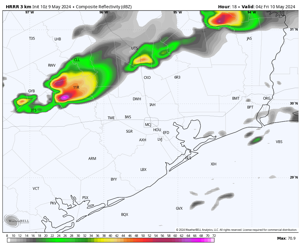
A lot of the ingredients necessary for moderate to heavy rainfall are percolating in the atmosphere near Houston right now. We’ve got plenty of moisture and instability. There’s also the impetus for lift, to carry the warm air at the surface higher into the atmosphere. What this all means is that the stage is set for showers and thunderstorms later today. But what will happen when the curtain actually rises?
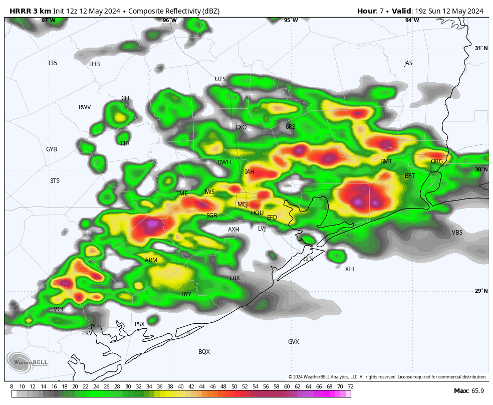
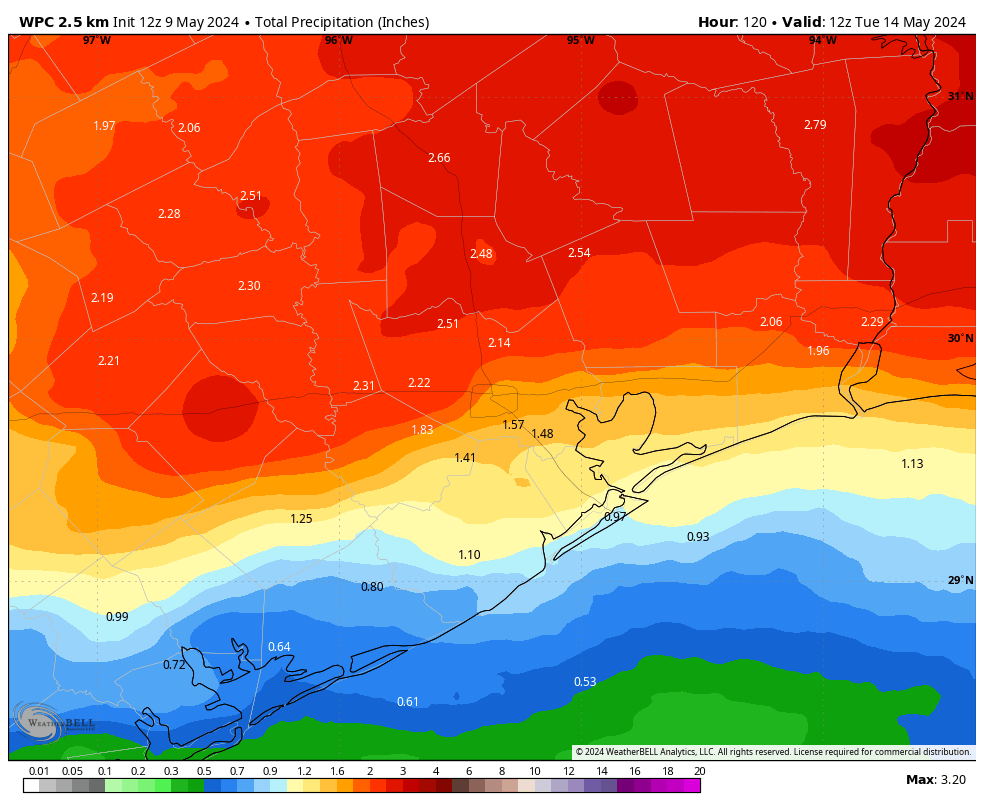
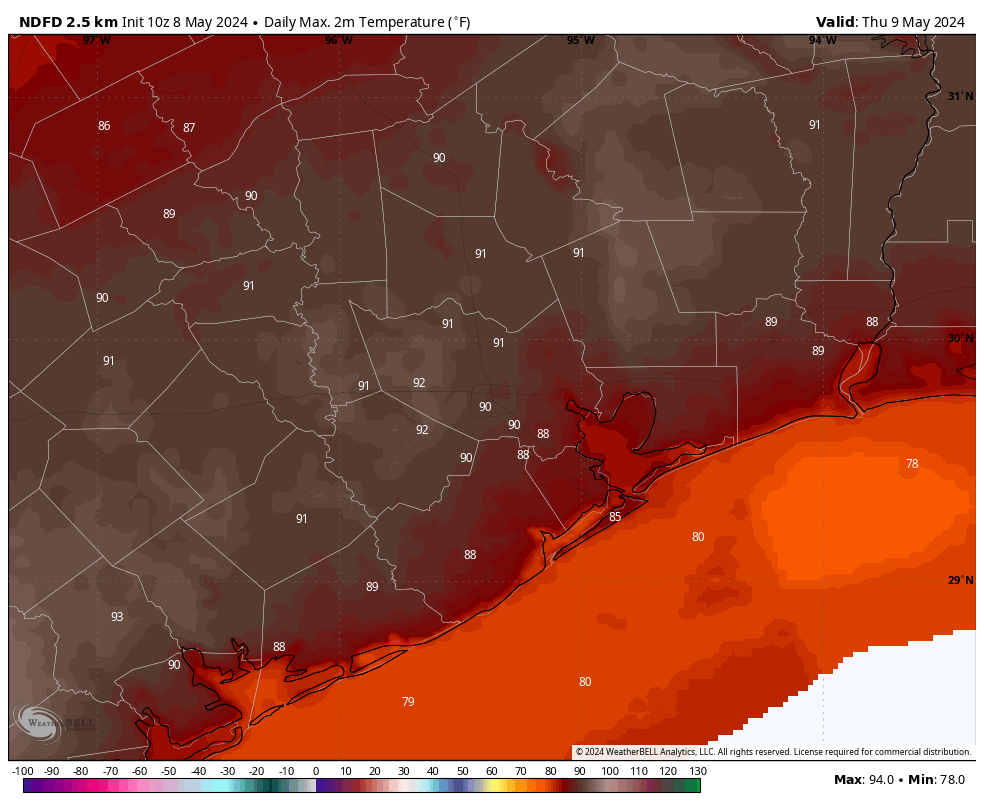
Generally, I expect activity to develop to the southwest of the Houston metro area later this morning, and then push into the central portions of the region including Harris County, before or around noon. These showers and thunderstorms should gradually lift north during the afternoon hours, and I expect rain chances to subside almost entirely by sunset. I’m not anticipating anything too crazy today, with most of the region likely picking up a few tenths of an inch of rain to maybe 2 inches. However, there could be some higher bullseyes that cause temporary street flooding. Highs today will range from the upper 70s to lower 80s, with plenty of cloud cover. Mom doesn’t need to worry about a sunburn today, so she’s got that going for her, which is nice.
Monday should see some additional shower and thunderstorm chances, although I don’t feel entirely confident in the details. It also looks as though the potential for severe storms will be a little higher on Monday or Monday evening, with damaging winds and hail a slight possibility. We’ll have a comprehensive update on all of that for you early on Monday morning.
Have a wonderful holiday, everyone!