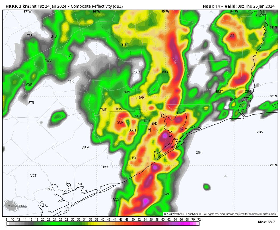
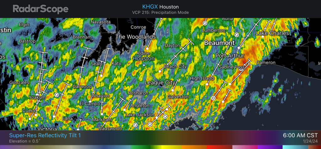
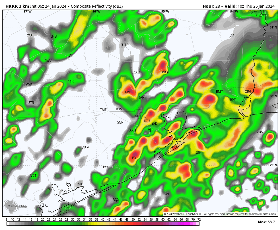
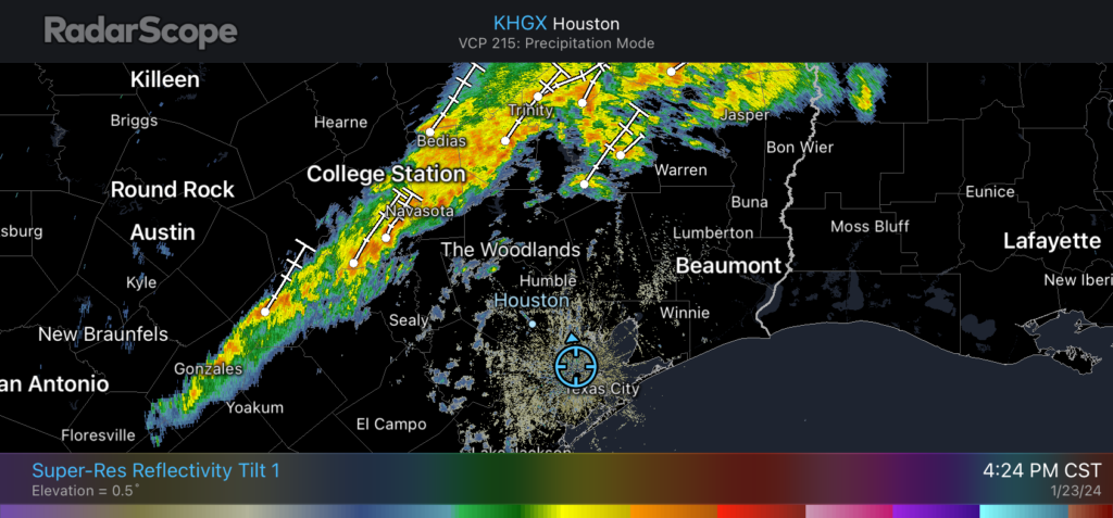
Summary: January often yields fairly placid weather in Houston, but this year we’ve had a wild ride. The last 10 days have brought sub-freezing temperatures, a light dusting of ice on area roadways, and most recently some fairly heavy rainfall and thunderstorms. Can we just get a break? Fortunately, the answer is yes.
Thursday
After the final round of storms moved through last night, we’re seeing slightly drier air filter into the region along with a weak front. Skies will eventually clear out some, so we should see partly sunny skies this afternoon to go along with highs of about 70 degrees and lower humidity. Lows tonight will drop into the 50s.
Friday
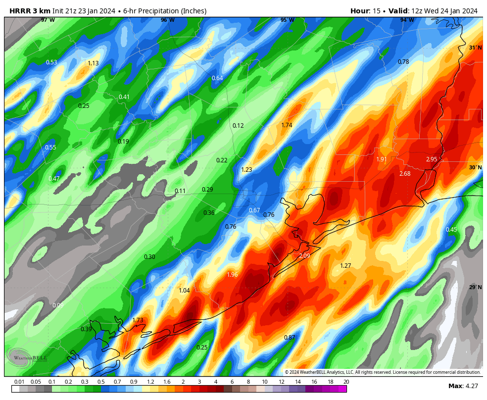
As I mentioned, it was a weak front, so it’s not going far. We’ll see the return of a southerly low as soon as Thursday night, so clouds will start to build by Friday morning. Some fog development is also likely. Highs again will be around 70 degrees, but this time with some more humidity. As a stronger front approaches we’re likely to see some rain showers on Friday afternoon and evening, especially across the eastern half of the metro area. The good news is that accumulations look to be fairly low, perhaps one to two tenths of an inch for most locations. Lows on Friday night will drop into the 50s.
Saturday
We’ll see sunny and breezy conditions on Saturday as much drier flow follows the front’s arrival. We may see some gusts up to 25 or 30 mph (closer to the coast) during the daytime, with highs likely in the mid-60s. Lows on Saturday night will drop into the mid-40s in the metro area, with cooler conditions for outlying areas.
Sunday
This will be a sunny day, with a high temperature of about 60 degrees. With lighter winds, expect overnight temperatures on Sunday night to bottom out at about 40 degrees in Houston, with outlying areas seeing the upper 30s.
Next week
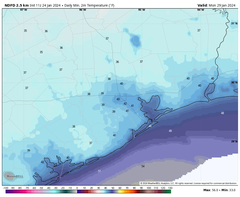
We’ll experience sunny to partly sunny skies through around Wednesday, with highs in the 60s and lows generally in the 40s. After that time we should see the return of a southerly flow, with highs working their way toward 70 degrees with milder nights toward the end of the week. Some rain chances may return by Friday or Saturday, but nothing too significant looks to be in the cards.
Enjoy the quieter weather. I know I need a break.