Houston’s not too hot and not too cold weather continues for awhile

Good morning. A low-pressure system in the Gulf of Mexico will wobble a bit closer to the Texas coast today, bringing a chance of showers to coastal counties this afternoon and evening. Otherwise our weather looks to be fairly calm, with a warming trend heading into the weekend before a front arrives on Saturday night. This system may bring a more widespread chance of showers and thunderstorms.

Wednesday

Winds are light this morning, out of the north, and we should continue to see a light northeasterly flow for much of the day. This should help to hold temperatures in the upper 70s despite mostly sunny skies. We should start to see the development of some scattered showers by mid-afternoon due to the Gulf low, and these will remain possible through the late evening hours. A few thunderstorms are possible. Rain chances are still only about 30 percent, with the most likely locations along and south of Interstate 10. Lows tonight will drop into the upper 50s in Houston, with cooler conditions inland.

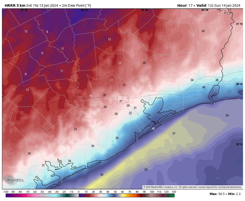
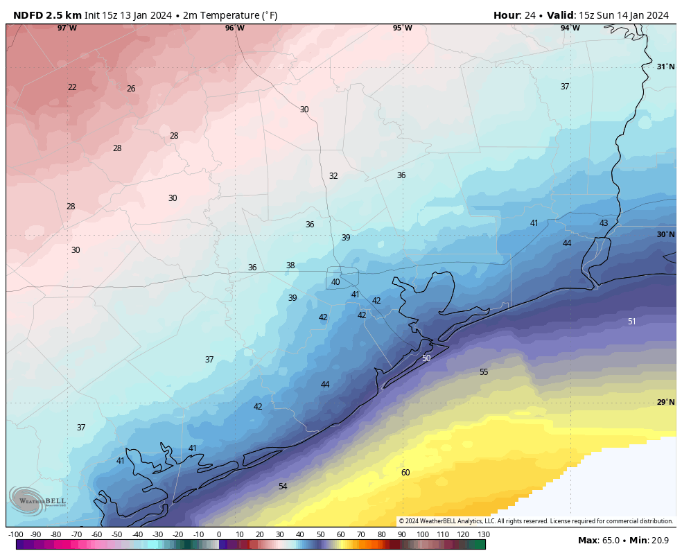
Houston will see a pleasantly cool night on Wednesday evening. (Weather Bell)

Thursday

This day will be a lot like Wednesday, albeit with highs a few degrees warmer, about 80 degrees. Rain chances also will be near zero as the aforementioned low drifts away. Expect one more cool-ish night in the upper 50s to around 60 degrees in Houston.

Friday

As the onshore flow resumes, Friday will be more humid with highs in the low 80s and a mix of sunshine in the morning and clouds building in during the afternoon. Overnight lows will only drop to around 70 degrees.

Saturday

The first half of the weekend will be warm, likely in the mid- to upper-80s, with mostly cloudy skies. Shower and thunderstorm chances will increase during the afternoon and evening hours, but again we don’t quite have enough information about the atmosphere to really say whether some strong storms will develop. So for now, the best I can say is that there is the potential for these storms ahead of the front, which will move in late Saturday night.

Houston’s weather for this rest of this week: Not too hot, and not too cold. (Weather Bell)

Sunday and beyond

Sunday and Monday should be pleasant, sunny days with drier air and high temperatures around 80 degrees. Lows should be in the upper 50s. Any outdoor activities look just fine.

By Tuesday the onshore flow will be bringing clouds and humidity back to the area, and this may combine with an atmospheric disturbance to bring a healthy chance of rain to Houston by as early as Tuesday night. Temperatures during the second half of next week look reasonably warm, in the mid-80s for the area with fairly humid air. So it goes as we get into the second half of April.

Pleasant, dry air for two more days before the Gulf low spins away

If you check a radar this morning you can see showers offshore in the Gulf of Mexico. These are associated with a low pressure system in the Gulf. If this were a few months later in the year we would be tracking this closely, but in April? Not so much of a concern. However, a few of these showers may migrate onshore into coastal counties today and Wednesday. We’re also tracking the as-yet uncertain possibility of storms on Saturday in association with a passing cold front.

Nearly all of Texas is seeing a pleasant springtime morning on Tuesday. (Weather Bell)

Tuesday

Mostly the Gulf low will send us a drier northerly flow, as our region lies on its western edge. For today, that means a mostly cloudy morning with some clearing skies later this afternoon. Highs will reach about 75 degrees, with light northerly winds. With dewpoints in the 50s, humidity levels will be reasonably low for mid-April. As mentioned above, areas near the coast may see a passing shower due to the Gulf low. Overnight low temperatures will drop into the upper 50s.

Wednesday

This day should be rather similar to Tuesday, with highs in the mid-70s, and another chance at a passing shower for coastal areas. Lows on Wednesday night will again drop into the upper 50s.

Thursday and Friday

As the low pulls away, we’ll start to see a more southerly flow. If you’ve lived in Houston for any time period at all, you’ll well know that means warmer and more humid air. Highs will reach about 80 degrees on Thursday, and into the low- to mid-80s on Friday under partly to mostly sunny skies. By Friday night lows will only drop to around 70 degrees.

Saturday’s highs will be warm ahead of the next front. (Weather Bell)

Saturday

The weekend will start out warm, with partly sunny skies and highs climbing into the mid- to upper-80s for much of the area. Far inland parts of the region may not get that warm, depending on the timing of a cold front. But wait, there’s uncertainty beyond the timing. While the atmosphere looks to be rather unstable, an important factor for storms, there may not be enough shear to really get strong thunderstorms going. We probably won’t know what is going to happen for another day or two, until we get into the realm of higher resolution models. Until then, you need to at least account for the possibility of showers, thunderstorms, and possibly severe weather on Saturday afternoon and evening in Houston. It is by no means a slam dunk, but it is certainly a possibility.

Sunday

The second half of the weekend looks drier, cooler and calmer, with highs in the vicinity of 80 degrees and mostly sunny skies. Overnight lows should drop into the mid-50s, or thereabouts. So, pretty darn nice.

Next week

The cooler air will stick around for a couple of days before we start to warm up next week. There are hints in the models about more rain in the Tuesday and Wednesday time frame next week. But at this point, who knows? Not this forecaster.

Mostly calm weather this week as a non-threatening low pressure system lurks offshore

Good morning. I hope everyone enjoyed the not-too-hot and not-too-cool weather over the weekend. It provided a nice antidote to the rain showers last week which, in turn, provided a nice boost of moisture to help our yards and trees and flowers as we get deeper into spring. This week will see mild conditions before some uncertainty arrives for this weekend. While I don’t envision widespread storms, there is the potential for some rainfall, and possibly thunderstorms.

Monday

Our weather today should be a lot like Sunday, in that we will see partly sunny skies with highs in the mid-70s and a moderate amount of humidity. Winds will again be light, perhaps 5 to 10 miles out of the northeast. There is perhaps a 10 percent chance of a light shower later this afternoon. Low temperatures tonight will drop to around 60 degrees in Houston, with cooler conditions further inland, to go along with mostly cloudy skies.

A low pressure system will be wobbling about the northern Gulf of Mexico for a few days this week. Most of its precipitation should remain offshore. (Weather Bell)

Tuesday

Our moderate weather continues. You may be asking yourself, why are we seeing a prolonged period of northeasterly winds? Should not the onshore flow resume at some time? The answer is that a low-pressure system is wobbling around off shore, in the Gulf of Mexico. This is not a major concern for us weather-wise, but it will give us a pleasant pattern through Wednesday or Thursday in terms of light easterly-northeasterly winds and moderate humidity.

However, there are some indications that the low may get close enough to the Texas coast on Tuesday and Wednesday to produce some scattered showers and perhaps a few thunderstorms, especially for areas south of Interstate 10. Overall chances remain low, however, in the 20 to 30 percent range. Highs will be in the mid-70s, otherwise on Tuesday. Lows drop to around 60 in Houston.

Wednesday and Thursday

Aside from a moderate chance of showers on Wednesday, these days should see temperatures in the upper 70s with mostly sunny skies. Lows may drop into the upper 50s under the influence of the northeasterly flow.

Lows on Thursday morning may be the coolest of the week. (Weather Bell)

Friday

This day looks warmer, with mostly sunny skies and highs in the mid-80s. Lows Friday night will be warm, perhaps dropping to only 70 degrees.

Saturday and Sunday

We’re going to have to write the weekend forecast in pencil, I’m afraid. A front will be diving down through Texas, and some of the ingredients needed for a line of storms will be present, including instability. However at this point there is no slam dunk in terms of such conditions, and the front could pass through Saturday night or Sunday morning with a minimum of fuss.

The bottom line is that right now I can confidently predict warm conditions on Saturday, with highs somewhere in the 80s. There is also a healthy chance of rain. I’ll put in 50 percent as a placeholder, but it could go higher, during the daytime and evening, ahead of the front. Lows on Saturday night will depend on the timing of the front.

After the front’s passage, beginning Sunday and probably lasting through Tuesday, conditions look pleasant, with mostly sunny skies, highs perhaps in the upper 70s, and cool but not cold nights.

The potential for heavy rainfall continues today and Friday

Good morning. The Houston region saw a burst of rainfall on Wednesday and Wednesday night, with widely varying totals. Some areas saw only a few tenths of an inch of rain, whereas parts of northwestern Montgomery County have recorded as much as 4 inches of rainfall. The Houston area will remain in a wet pattern through Friday before we dry out this weekend. Easter Sunday looks pleasant, with partly sunny skies and highs in the upper 70s.

Thursday

The focus for rainfall this morning lies to the northwest of Houston, where a boundary just above the surface has remained more or less stationary. This area, including Austin, Waller, Washington, Brazos, Grimes, and Montgomery counties, will remain the focus for on-and-off shower activity this morning. Much of the Houston metro area may well remain rain-free during daytime hours today.

Later this afternoon and overnight, however, we are likely to see showers and thunderstorms developing closer to the coast, in and south of Houston. Overall accumulations today and tonight for the region are likely between 0.5 and 3 inches of rainfall. I think our Stage 1 flood alert covers things nicely. As always, remain weather aware when heavy rainfall threatens, and check conditions before venturing out.

Pretty much all of the Houston metro area lies under a slight risk of excessive rainfall today and tonight. (NOAA)

Aside from precipitation, expect cloudy skies today with high temperatures in the upper 60s. Winds will be out of the northeast at about 10 mph, with higher gusts. Winds will pick up tonight, perhaps gusting up to 30 or 35 mph. Low temperatures will drop to around 60 degrees, or maybe a few degrees lower.

Friday

Healthy rain chances continue overnight and into Friday, as a wet airmass remains in place, with the destabilizing presence of a cold front just offshore. This activity should start to wind down on Friday night, or Saturday morning at the latest. All told, most of the region will see an additional 1 to 4 inches of rainfall through Friday night. Please take care in thunderstorms, and do not drive into high water. High temperatures on Friday may only reach the low to mid-60s, with continued mostly cloudy skies. Lows on Friday night will drop into the upper 50s.

Saturday

Rain showers should come to an end late Friday night, but we can expect clouds to persist for awhile. Highs on Saturday will be around 70 degrees, with moderate northerly winds at 10 to 15 mph. With dewpoints in the upper 50s, the air will feel reasonably dry. Lows on Saturday night will drop to around 60 degrees in Houston.

NOAA rain accumulation forecast for now through Saturday. (Weather Bell)

Sunday

Conditions on Easter Sunday look nice. We should see partly sunny skies during the late morning and afternoon hours, with highs pushing up into the upper 70s. There will be enough dry air for it to feel pretty pleasant outside. Lows on Sunday night will likely drop into the low 60s.

Next week

Most of next week looks spring-like as well. Our highs look to be around 80 degrees, with nights in the 50s and 60s, and at least a modicum of drier air. A weak front may arrive on Tuesday-ish to provide a bit of slightly cooler weather. It does look like we’ll warm up some before next weekend, perhaps into the mid-80s. We shall see!