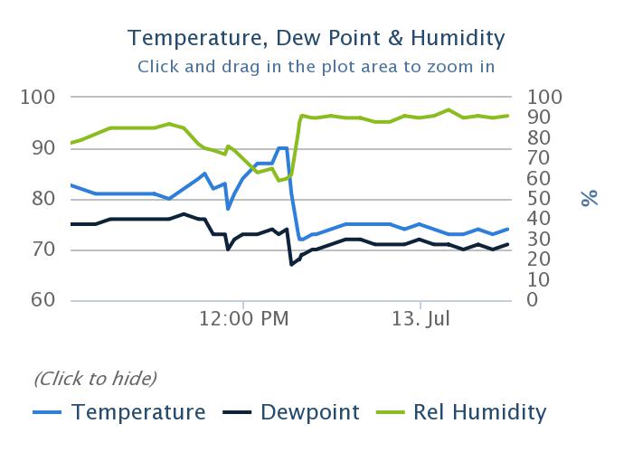
Enjoy the sunshine because rains return this weekend, some of which may be heavy

Well, Houston, we’ve made it to July. Historically, the next two months are the hottest of the year. And we’ll certainly be in the 90s the next couple of days. But our bigger concern in the forecast period will be triggered by a cold front of all things, which won’t bring cold air but will initiate a wet period beginning Friday night. There’s also a newly formed tropical system, Elsa, bound for the Caribbean Sea that we’ll discuss.

Thursday

Today should bring mostly sunny skies for the region, and this will nudge high temperatures into the low 90s. A few showers may pop up this afternoon, along the sea breeze. The most likely focus for any storms will be south of Interstate 10, and anything that forms should be fairly short lived. Rain chances will slacken considerably as evening comes upon us. Winds will be very light most of the day, from the east. Nighttime temperatures will drop into the mid-70s.

Friday

Friday looks to be the warmest day of the week, with highs in the mid-90s and lots of sunshine. Again, we could see some scattered showers along the sea breeze, but I think most of us will not see rainfall. This may begin to change on Friday evening or overnight, as the aforementioned front begins to generate shower activity.

Friday will be the hottest day of the week. (Weather Bell)

Saturday and Sunday

The holiday weekend looks fairly wet, I’m afraid. The stalling front, in concert with quite high atmospheric moisture levels moving in from the Gulf of Mexico, will open up our region to periods of moderate to heavy rainfall. Both Saturday and Sunday should see mostly cloudy skies, with highs in the upper 80s. I expect accumulations of 1 to 2 inches of rain for much of the area, but we may see higher bullseyes and this is our concern. This may put a damper on fireworks activities, or we may get a break on Sunday evening from showers, we just don’t know yet.

Next week

The first half of next week, at least, will see elevated rain chances above 50 percent each day. Given the setup, some localized areas may eventually find themselves in a situation prone to flooding—after having accumulated several inches of rainfall. Matt and I will be covering this over the weekend, if necessary, and may eventually need to issue at least a Stage 1 flood alert given the overall potential for heavy rainfall to continue into next Wednesday or Thursday. Bottom line? Enjoy the sunshine today and Friday before the holiday weekend brings us into a much wetter period.

Tropical Storm Elsa

Far from being frozen, the tropics are continuing to remain active with the formation of Tropical Storm Elsa in the Atlantic Ocean. Elsa is moving rapidly westward, and will enter the Caribbean Sea on Friday, and approach Hispaniola or Cuba by Saturday. Due to this forward motion, I think Elsa will struggle to maintain its organization—it’s difficult for storms to maintain a consistent vertical profile, or essentially not become lopsided the faster they move. For this reason, there is a lot of uncertainty with the intensity forecast over the next five days.

Thursday morning track forecast for Elsa. (National Hurricane Center)

As for where Elsa ends up, anywhere from the eastern Gulf of Mexico, to Florida, to east of the Florida peninsula is possible next week. Texas is unlikely to see any winds from Elsa, but the overall setup may generate additional moisture later next week. We’ll just have to wait and see.

Storm activity wanes today, but this weekend and early next week look fairly wet

Good morning. Before jumping in to the forecast, which should be a little bit drier in the days ahead before a wet weekend, I wanted to share a couple of housekeeping notes.

  • I recently joined the popular Houston Moms blog to discuss hurricane season and preparedness. You can watch parts one and two of the video.
  • Michael Hardy wrote a profile of me and Space City Weather for Texas Monthly that was published on Tuesday. It provides a great overview of why I got into this business, and the philosophy Matt and I have toward communicating weather information.

Wednesday

The Houston area radar is more calm this morning, but I still anticipate scattered to widespread shower activity to develop later today. Rain is most likely south of Interstate 10 this morning before spreading further inland this afternoon. With less moisture available, I think most of Houston will see 0 to 0.5 inch of rain today, but we could see a few bullseyes of 1 to 2 inches closer to the coast. Winds will be light out of the east, and with partly sunny skies high temperatures should reach 90 degrees, or the low 90s, later today.

National Blend of Models forecast for rain accumulations on Wednesday. (Weather Bell)

Thursday and Friday

If we’re going to see lots of sunshine, and lower rain chances, these are the days this week. That’s not to say it won’t rain in Houston on Thursday and Friday, but most of us probably won’t see any rain, or if we do, accumulations should not go beyond a tenth of an inch or so. As a result, these days will be warmer, with highs in the low to mid-90s. Enjoy the sunshine, because the pattern will turn stormier this weekend.

Saturday and Sunday

By Friday night or Saturday morning, a weak cool front—no, it won’t bring much in the way of cooling—will approach and likely stall over our region. The effect of this will be to draw moisture from the Gulf of Mexico inland, and set up the potential for slow-moving showers. The details remain to be worked out, but we can probably expect accumulations of 1 to 3 inches this weekend, with higher isolated totals. Rain chances will be decent overnight as well, so I would not feel entirely confident about fireworks chances on July Fourth. Highs will be in the upper 80s to 90 degrees. The bottom line: If you have outdoor plans this weekend, have an indoor backup plan.

NOAA rain accumulation forecast for Saturday and Sunday. (Weather Bell)

Next week

The stalled front should remain in the vicinity of Houston through about Monday, but the atmosphere remains unsettled after this. If anything the potential for rain increases from Monday through about Wednesday, and overall I think our region may see on the order of 5 to 7 inches of rain from now through the middle of next week, if not more. Again, the details on this are to come, but it’s something we’ll be covering closely. Conditions may finally turn sunnier and hotter by Thursday or Friday, but no promises from us.

Tropics

Matt provided a good rundown of the tropics on Tuesday, and we’re continuing to watch the development of Invest 97L. This morning, the National Hurricane Center has upgraded its chance of becoming a tropical storm or depression within the next five days to 80 percent.

(National Hurricane Center)

The most likely scenario remains that this system eventually succumbs to a hostile environment in the Caribbean Sea this weekend, but we can’t rule out something making it into the Gulf of Mexico next week. For now, my money is on Invest 97L petering out, but we’ll continue to track it for you.

Another stormy day on tap before perhaps a few somewhat drier days

Much of the Houston region saw 1 to 3 inches of rain on Monday, with some higher bullseyes near LaPorte and Baytown on the east side of Houston. Today will see a similar setup, although with slightly less favorable conditions, overall totals should be less for most. The latter half of the week should see some sunshine, but we’re still looking at a wet holiday weekend.

Tuesday

The atmosphere remains moist, with lift from an upper-level system, but the overall dynamics favor less storm coverage today. That doesn’t mean it won’t rain. Most of Houston will probably see 0.25 to 2 inches of rain today, with some isolated areas of 3 inches along and east of Interstate 45. Area bayous should be able to handle these rains, so we’re probably looking at street flooding, at worst, in hard hit areas. Like on Monday, storms should wind down pretty quickly after the sun sets.

Otherwise, skies today will be mostly cloudy, with southeast winds, and highs will only reach the mid-80s. (I took a walk on Monday evening and, dare I say it, conditions felt almost pleasant?) Lows Tuesday night will drop into the mid-70s.

Rain accumulation forecast for Tuesday. (Weather Bell)

Wednesday

As moisture levels drop and the atmosphere becomes a little less favorable, the chances for heavy rainfall will diminish significantly on Wednesday. However, I think much of the area may still see at least some light to moderate rainfall during the day time to go along with partly sunny skies. Highs will be near 90 degrees.

Thursday and Friday

These days should both see partly sunny skies, with highs in the low 90s for the most part. Rain chances aren’t going to fall back to zero, but less than half of the area will probably see rain. We should get a chance to dry out a little bit before the next round arrives.

Atmospheric moisture levels will be significantly above normal this weekend. (Weather Bell)

Saturday and Sunday

Yet another front will approach our region and stall out this weekend, and it will lead to elevated rain chances over the holiday weekend. The forecast has shifted a bit, with the better rain chances now expected on Saturday, with perhaps slightly less coverage on July 4th. Anyway, expect rain this weekend, perhaps to the tune of 1 to 2 inches. Sunday may see some partly sunny skies, but still has the potential for rain, and it is possible that fireworks displays may be impacted. Highs will drop back to around 90 degrees both days. Rain chances and cloudy skies continue into early next week.

The tropics remain active, especially for late June. Matt will have a full update later today.

A stormy start to a wet week in Houston

Good morning. This will be a fairly wet week, with more clouds than sunshine. Rain chances will peak today and Tuesday, before a bit of a lull, with healthy rain chances returning for the Fourth of July weekend. Will the holiday be a total washout? Probably not, but it’s too early to tell whether it will rain during our much anticipated fireworks’ shows.

Monday

Pretty much everyone in the Houston region is guaranteed to see rain today as an upper-level low pressure system combines with a very moist atmosphere. But whereas some regions see intermittent light showers, others will see downpours. So far storms have moved steadily from southeast to northwest, and this motion has limited rainfall rates to 1 to 2 inches per hour as storms move through. Our primary concern is that, in a few areas, these storms may grind to a halt.

Overall, I expect much of the region will see 1 to 3 inches today, with a few bullseyes of 3 to 5 inches closer to the coast and south of Interstate 10. A few low-lying roadways may flood, but overall these totals should be manageable. Do take care during your morning and evening commute, however. Highs today will likely crest in the mid-80s, with lows dropping into the mid-60s tonight as shower activity wanes, but does not entirely go away.

Area most at risk for heavy rainfall on Monday. (NOAA)

Tuesday

Tuesday should be a bit like Monday-lite, with the potential for heavy rainfall again, but likely less coverage and less intensity as overall conditions are a bit less favorable. Still most of the area will again see at least some rainfall, with highs in the upper 80s.

Wednesday, Thursday, and Friday
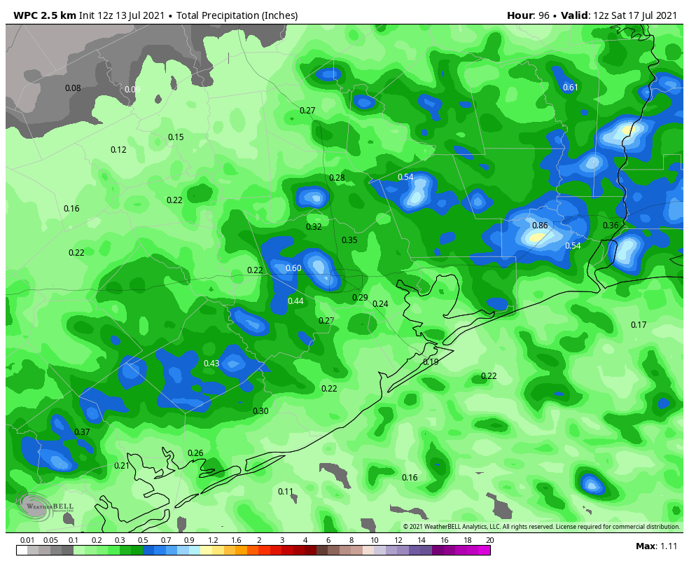
As the upper-level low moves away, rain chances will back off a bit, leaving us with partly sunny days. Some sea-breeze driven showers will still be possible during the afternoon hours on these days, but at this point I think they’ll probably be more “miss” than “hit” at this point. Highs will likely rise into the low 90s, which is not terrible as we get into July.

Saturday and Sunday

After a few drier days, in terms of rainfall, precipitation chances will probably be on the rise this weekend as the atmosphere turns more unstable. Unfortunately, we’re still a little too far out to have much confidence in the overall forecast, but right now I’d pencil in 60 percent rain chances each day, which could be problematic for outdoor activities. Given that we’re still several days away, this forecast is far from locked in, but something to keep in mind.

Elevated rain chances possible this weekend. (Weather Bell)

Tropics

We’re likely to see tropical activity pick back up this week after a lull in late June, but for now we don’t see any real threats to Texas or Louisiana over the next week or two. We’ll have more in our weekly tropics report tomorrow.